
| Distance / Altitude | Location | Report Date / Time | Live Weather | Wind | Gusts | Temp. | Visibility | Cloud |
|---|---|---|---|---|---|---|---|---|
| 188 km S / 110 m | Pacaja (Brazil) | 2026-06-30 18:00 local (2026/06/30 21:00 GMT) | no report | calm (0 km/h at 230) | 23°C | - | - | |
| 194 km SSE / 334 m | Tucurui Airport (Brazil) | 2026-06-30 17:00 local (2026/06/30 20:00 GMT) | Dry and partly cloudy | wind obs. (9 kph from 50 degs) was rejected (- km/h at -) | — | 10.0 | no cloud - - | |
| 206 km SSE / 150 m | Tucurui (81743 -0) (Brazil) | 2026-06-30 18:00 local (2026/06/30 21:00 GMT) | no report | calm (0 km/h at 320) | 25°C | - | - | |
| 222 km SW / 516 m | Altamira (Brazil) | 2026-06-30 17:00 local (2026/06/30 20:00 GMT) | - | wind obs. (7 kph from 90 degs) was rejected (- km/h at -) | 30°C | 10.0 | few | |
| 222 km SW / 516 m | Altamira Airport (Brazil) | 2026-06-30 17:00 local (2026/06/30 20:00 GMT) | - | wind obs. (7 kph from 90 degs) was rejected (- km/h at -) | 30°C | 10.0 | few | |
| 240 km ENE / 16 m | Belem (Aero) (Brazil) | 2026-06-30 18:00 local (2026/06/30 21:00 GMT) | mist | light winds from the E (13 km/h at 90) | 25°C | 9 | - - - | |
| 242 km ENE / 215 m | Belém/Val de Cães International Airport (Brazil) | 2026-06-30 17:00 local (2026/06/30 20:00 GMT) | Dry and partly cloudy | light winds from the ESE (13 km/h at 110) | 32°C | 10.0 | broken few broken | |
| 244 km ENE / 26 m | Belem (81680 -0) (Brazil) | 2026-06-30 18:00 local (2026/06/30 21:00 GMT) | no report | wind obs. (7 kph from 240 degs) was rejected (- km/h at -) | 25°C | - | - | |
| 247 km NW / 215 m | Macapa International Airport (Brazil) | 2026-06-30 17:00 local (2026/06/30 20:00 GMT) | Dry and partly cloudy | light winds from the NE (17 km/h at 50) | 32°C | 10.0 | few scattered | |
| 251 km NW / 17 m | Macapa (Aero) (Brazil) | 2026-06-30 18:00 local (2026/06/30 21:00 GMT) | no report | wind obs. (6 kph from 310 degs) was rejected (- km/h at -) | 25°C | 20 | - - - |
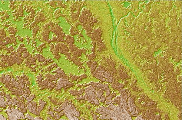
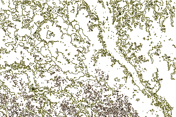
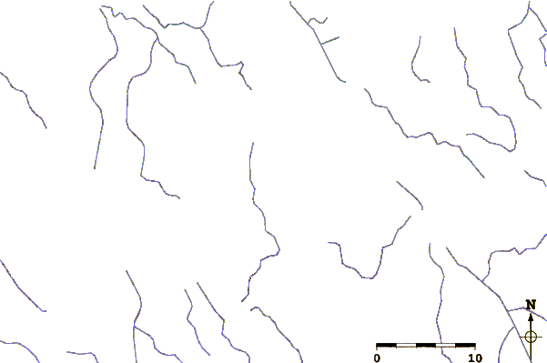
| Contours: | Roads & Rivers: | Select a
tide station / surf break / city |
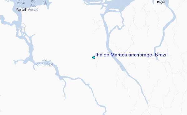
Use this relief map to navigate to tide stations, surf breaks and cities that are in the area of Ilha de Maraca anchorage, Brazil.
Other Nearby Locations' tide tables and tide charts to Ilha de Maraca anchorage, Brazil:
click location name for more details
 Surf breaks close to Ilha de Maraca anchorage, Brazil:
|
||
|---|---|---|
| Closest surf break | Araruna | 172 mi |
| Second closest surf break | Ponta d'Areia | 425 mi |
| Third closest surf break | Praia de Sao Marcos | 426 mi |
| Fourth closest surf break | Ponta do Farol | 428 mi |
| Fifth closest surf break | Praia do Calhau | 430 mi |


 Nearest
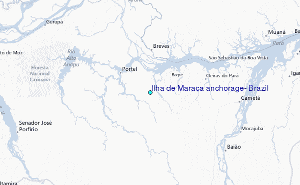