
| Distance / Altitude | Location | Report Date / Time | Live Weather | Wind | Gusts | Temp. | Visibility | Cloud |
|---|---|---|---|---|---|---|---|---|
| 28 km NE / 368 m | Gloucestershire Airport/Staverton Airport (United Kingdom) | 2026-02-09 07:50 local (2026/02/09 07:50 GMT) | Dry and partly cloudy | light winds from the S (19 km/h at 170) | 8°C | 10.0 | scattered | |
| 41 km SE / 145 m | Lyneham (United Kingdom) | 2026-02-09 07:00 local (2026/02/09 07:00 GMT) | - | - (- km/h at -) | — | - | - - - | |
| 42 km W / 550 m | Blorenge (United Kingdom) | 2026-02-09 08:00 local (2026/02/09 08:00 GMT) | - | fresh winds from the SE (35 km/h at 135) | 5°C | - | - - 0 | |
| 43 km S / 219 m | Bristol/Lulsgate Airport (United Kingdom) | 2026-02-09 07:20 local (2026/02/09 07:20 GMT) | Dry and partly cloudy | light winds from the SE (19 km/h at 140) | 8°C | 10.0 | broken | |
| 47 km NW / 76 m | Hereford-Credenhill (United Kingdom) | 2026-02-09 08:00 local (2026/02/09 08:00 GMT) | Rain and snow or hail | light winds from the E (7 km/h at 90) | 8°C | 40 km | - overcast - | |
| 49 km E / 194 m | Fairford RAF Airport (United Kingdom) | 2026-02-09 06:55 local (2026/02/09 06:55 GMT) | Dry and cloudy | light winds from the ESE (9 km/h at 120) | 8°C | 10.0 | broken broken overcast | |
| 56 km SSW / 3 m | Weston Bay Waverider (Marine) | 2026-02-09 06:29 local (2026/02/09 06:29 GMT) | - (- km/h at -) | — | - | |||
| 56 km SSE / 210 m | Edington Airstrip (United Kingdom) | 2026-02-09 08:00 local (2026/02/09 08:00 GMT) | - | strong winds from the SSE (43 km/h at 160) | 7°C | - | - - 0 | |
| 57 km ENE / 238 m | Little Rissington (United Kingdom) | 2026-02-09 08:00 local (2026/02/09 08:00 GMT) | Snow | moderate winds from the SE (20 km/h at 140) | 6°C | 4.5 km | - overcast - | |
| 57 km NNE / 238 m | Pershore (United Kingdom) | 2026-02-09 08:00 local (2026/02/09 08:00 GMT) | Rain and snow or hail | light winds from the ESE (11 km/h at 120) | 8°C | 45 km | - mostly cloudy - |
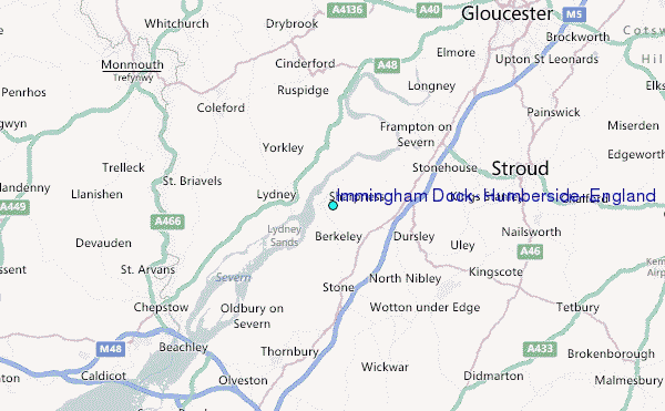
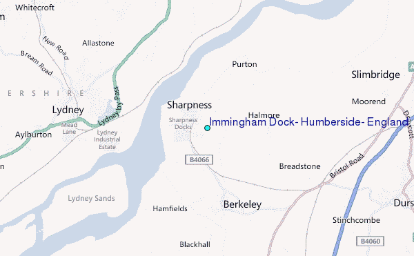
Choose Immingham Dock, Humberside, England Location Map Zoom:
| Contours: | Roads & Rivers: | Select a
tide station / surf break / city |
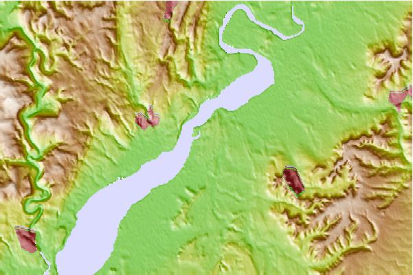
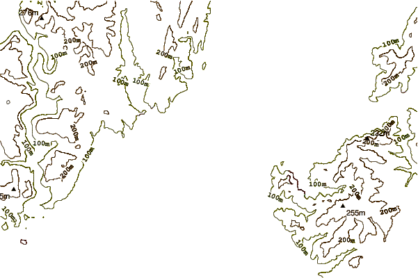
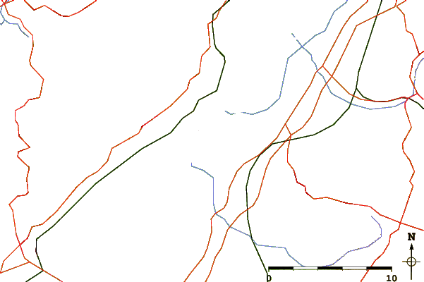
Use this relief map to navigate to tide stations, surf breaks and cities that are in the area of Immingham Dock, Humberside, England.
Other Nearby Locations' tide tables and tide charts to Immingham Dock, Humberside, England:
click location name for more details
 Surf breaks close to Immingham Dock, Humberside, England:
|
||
|---|---|---|
| Closest surf break | The Knap | 42 mi |
| Second closest surf break | Gileston | 47 mi |
| Third closest surf break | Llantwit Major | 50 mi |
| Fourth closest surf break | Southerndown | 52 mi |
| Fifth closest surf break | Ogmore-by-Sea | 53 mi |


 Nearest
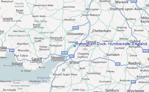