
| Distance / Altitude | Location | Report Date / Time | Live Weather | Wind | Gusts | Temp. | Visibility | Cloud |
|---|---|---|---|---|---|---|---|---|
| 104 km SSW / 796 m | Srigunting wx (Indonesia) | 2025-12-24 17:06 local (2025/12/24 10:06 GMT) | - | calm (5 km/h at 316) | 23°C | - | - - 0 | |
| 105 km SSW / 820 m | Kalidam wx (Indonesia) | 2025-12-24 16:59 local (2025/12/24 09:59 GMT) | - | calm (0 km/h at 0) | — | - | - - 0 | |
| 159 km WSW / 25 m | Halim Perdanakus Airport (Indonesia) | 2025-12-24 16:30 local (2025/12/24 09:30 GMT) | - | light winds from the N (9 km/h at 360) | 31°C | 8.0 | few | |
| 162 km SE / 101 m | Pamijen Lor wx (Indonesia) | 2025-12-24 17:36 local (2025/12/24 10:36 GMT) | - | - (- km/h at ) | 28°C | - | - - 0 | |
| 168 km WSW / 185 m | Ceheuleut wx (Indonesia) | 2025-12-24 16:29 local (2025/12/24 09:29 GMT) | - | calm (0 km/h at 0) | 33°C | - | - - 0 | |
| 168 km SW / 481 m | Genteng wx (Indonesia) | 2025-12-24 17:04 local (2025/12/24 10:04 GMT) | - | calm (0 km/h at 0) | 33°C | - | - - 0 | |
| 169 km WSW / 64 m | Mampang-agung wx (Indonesia) | 2025-12-24 17:17 local (2025/12/24 10:17 GMT) | - | calm (0 km/h at 0) | 36°C | - | - - 0 | |
| 170 km WSW / 264 m | Babakanasem wx (Indonesia) | 2025-12-24 17:11 local (2025/12/24 10:11 GMT) | - | calm (0 km/h at 0) | 31°C | - | - - 0 | |
| 174 km SSE / 6 m | Cilacap (Indonesia) | 2025-12-24 16:00 local (2025/12/24 09:00 GMT) | Thunderstorm in past hour, currently only light rain | light winds from the W (9 km/h at 260) | 27°C | 29 km | - mostly cloudy - | |
| 175 km WSW / 15 m | Pisangan Timur wx (Indonesia) | 2025-12-24 17:04 local (2025/12/24 10:04 GMT) | dry | calm (5 km/h at 45) | 31°C | - | - - 0 |
| Contours: | Roads & Rivers: | Select a
tide station / surf break / city |
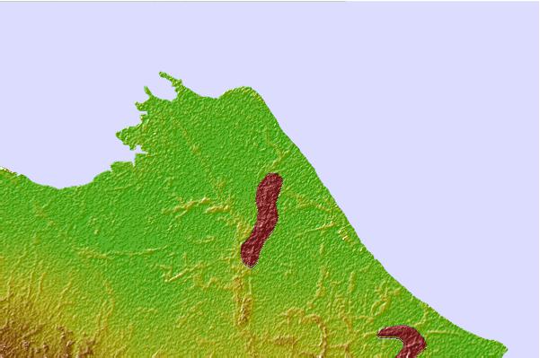

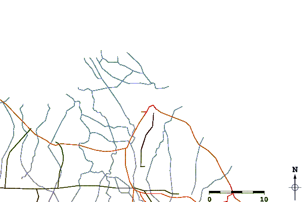
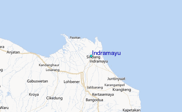
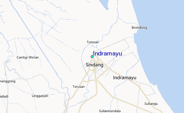
Use this relief map to navigate to tide stations, surf breaks and cities that are in the area of Indramayu.
Other Nearby Locations' tide tables and tide charts to Indramayu:
click location name for more details
 Surf breaks close to Indramayu:
|
||
|---|---|---|
| Closest surf break | Batu Hiu | 96 mi |
| Second closest surf break | Karang Nini | 98 mi |
| Third closest surf break | Batu Karas | 99 mi |
| Fourth closest surf break | Batu Mandi | 99 mi |
| Fifth closest surf break | Keusik Luhur | 103 mi |


 Nearest
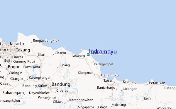