
| Distance / Altitude | Location | Report Date / Time | Live Weather | Wind | Gusts | Temp. | Visibility | Cloud |
|---|---|---|---|---|---|---|---|---|
| 5 km SE / 24 m | Point Reyes Station wx (United States) | 2026-06-09 06:44 local (2026/06/09 13:44 GMT) | dry | calm (0 km/h at 0) | 14°C | - | - - 0 | |
| 11 km NW / 10 m | McDonald wx (United States) | 2026-06-09 05:50 local (2026/06/09 12:50 GMT) | dry | calm (0 km/h at 0) | 13°C | - | - - 0 | |
| 15 km SE / 282 m | Lagunitas (California) | 2026-06-09 05:20 local (2026/06/09 12:20 GMT) | dry | calm (0 km/h at 242) | 13°C | - | - - 0 | |
| 16 km SSW / 3 m | BUOY-PRYC1 (Marine) | 2026-06-09 06:00 local (2026/06/09 13:00 GMT) | - (- km/h at -) | — | - | |||
| 26 km ESE / 48 m | Fairfax wx (United States) | 2026-06-09 06:05 local (2026/06/09 13:05 GMT) | dry | calm (0 km/h at 0) | 14°C | - | - - 0 | |
| 26 km NNE / 94 m | Cotati (California) | 2026-06-09 05:13 local (2026/06/09 12:13 GMT) | dry | calm (0 km/h at 281) | 13°C | - | - - 0 | |
| 27 km ENE / 1 m | Marin County Airport (California) (California) | 2026-06-09 05:35 local (2026/06/09 12:35 GMT) | Dry and partly cloudy | wind obs. (7 kph from 40 degs) was rejected (- km/h at -) | 14°C | 16 | few broken broken | |
| 27 km ESE / 48 m | Fairfax wx (United States) | 2026-06-09 06:40 local (2026/06/09 13:40 GMT) | dry | calm (0 km/h at 323) | 15°C | - | - - 0 | |
| 28 km NE / 28 m | Petaluma Municipal Airport (California) (California) | 2026-06-09 05:35 local (2026/06/09 12:35 GMT) | Dry and cloudy | light winds from the N (6 km/h at 1) | 12°C | 16 | overcast | |
| 29 km ESE / 145 m | San Rafael (California) | 2026-06-09 06:40 local (2026/06/09 13:40 GMT) | - | calm (3 km/h at 66) | 14°C | - | - - 0 |
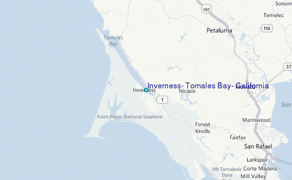
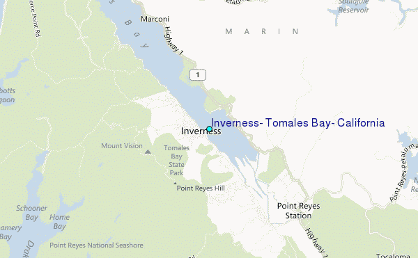
Choose Inverness, Tomales Bay, California Location Map Zoom:
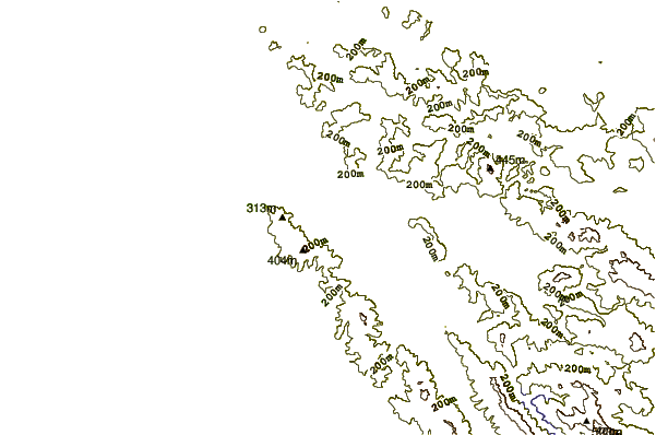
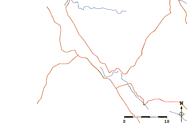
| Contours: | Roads & Rivers: | Select a
tide station / surf break / city |
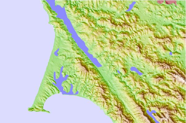
Use this relief map to navigate to tide stations, surf breaks and cities that are in the area of Inverness, Tomales Bay, California.
Other Nearby Locations' tide tables and tide charts to Inverness, Tomales Bay, California:
click location name for more details
 Surf breaks close to Inverness, Tomales Bay, California:
|
||
|---|---|---|
| Closest surf break | Drakes Bay | 7 mi |
| Second closest surf break | Drakes Estero | 7 mi |
| Third closest surf break | Point Reyes Beach | 7 mi |
| Fourth closest surf break | Dillon Beach | 12 mi |
| Fifth closest surf break | Double Point | 12 mi |


 Nearest
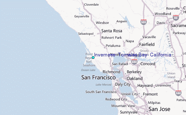