
| Distance / Altitude | Location | Report Date / Time | Live Weather | Wind | Gusts | Temp. | Visibility | Cloud |
|---|---|---|---|---|---|---|---|---|
| 34 km S / 16 m | Puerto Ayora (Ecuador) | 2026-05-05 20:39 local (2026/05/06 02:39 GMT) | dry | calm (0 km/h at 272) | 27°C | - | - - 0 | |
| 629 km NNE / 0 m | lightning (Ecuador) | 2026-05-05 20:49 local (2026/05/06 02:49 GMT) | Thunderstorm | (- km/h at -) | — | |||
| 656 km NNE / 0 m | lightning (Panama) | 2026-05-05 20:51 local (2026/05/06 02:51 GMT) | Thunderstorm | (- km/h at -) | — | |||
| 685 km SW / 219 m | Coweta (Oklahoma) | 2026-05-05 20:21 local (2026/05/06 02:21 GMT) | - | calm (5 km/h at 22) | — | - | - - 0 | |
| 729 km NNE / 0 m | lightning (Costa Rica) | 2026-05-05 20:30 local (2026/05/06 02:30 GMT) | Thunderstorm | (- km/h at -) | — | |||
| 1072 km E / 190 m | Manta/Eloy Alfaro International Airport (Ecuador) | 2026-05-05 19:00 local (2026/05/06 01:00 GMT) | Dry and partly cloudy | light winds from the WNW (6 km/h at 290) | 25°C | 10.0 | few scattered broken | |
| 1105 km N / 3 m | SHIP6632 (Marine) | 2026-05-05 20:00 local (2026/05/06 02:00 GMT) | - (- km/h at 20) | 29°C | 20.4 | |||
| 1105 km N / 3 m | SHIP7124 (Marine) | 2026-05-05 20:00 local (2026/05/06 02:00 GMT) | - (- km/h at 20) | 29°C | 20.4 | |||
| 1105 km N / 15 m | SHIP7700 (Marine) | 2026-05-05 20:00 local (2026/05/06 02:00 GMT) | - (- km/h at 20) | 31°C | 17.7 km | |||
| 1105 km N / 3 m | SHIP3303 (Marine) | 2026-05-05 20:00 local (2026/05/06 02:00 GMT) | - (- km/h at 20) | 29°C | 20.4 |
| Contours: | Roads & Rivers: | Select a
tide station / surf break / city |
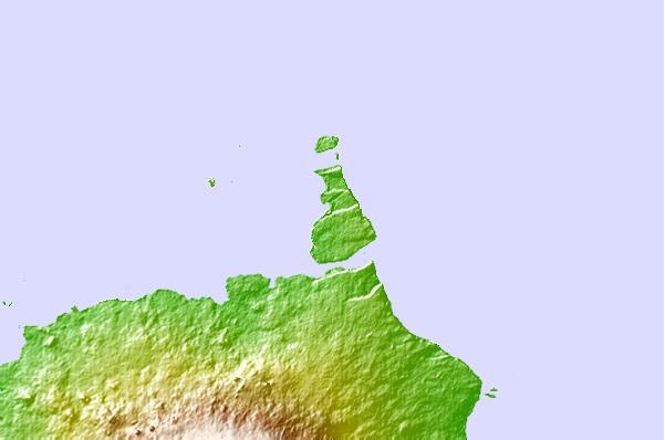
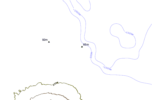
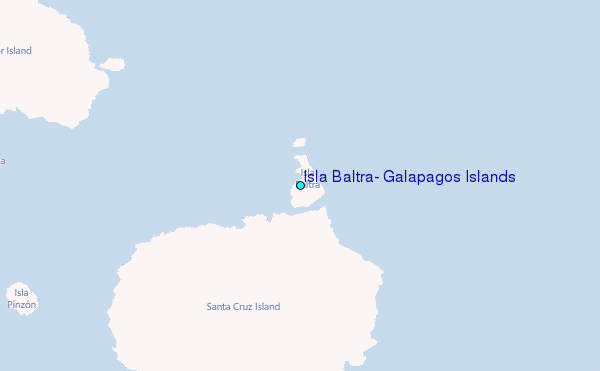
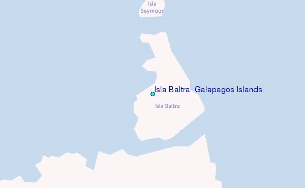
Use this relief map to navigate to tide stations, surf breaks and cities that are in the area of Isla Baltra, Galapagos Islands.
Other Nearby Locations' tide tables and tide charts to Isla Baltra, Galapagos Islands:
click location name for more details
 Surf breaks close to Isla Baltra, Galapagos Islands:
|
||
|---|---|---|
| Closest surf break | Seymour Norte | 4 mi |
| Second closest surf break | Tortuga Bay | 22 mi |
| Third closest surf break | Cerro Gallina | 24 mi |
| Fourth closest surf break | Palmas Grandes | 24 mi |
| Fifth closest surf break | Carola | 55 mi |


 Nearest
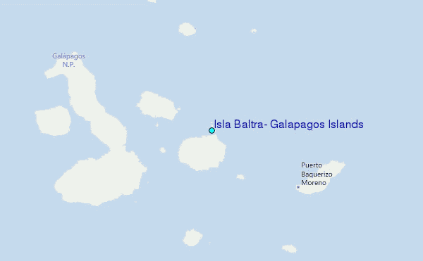