
| Distance / Altitude | Location | Report Date / Time | Live Weather | Wind | Gusts | Temp. | Visibility | Cloud |
|---|---|---|---|---|---|---|---|---|
| 28 km S / 335 m | Cancun Airport (Mexico) | 2026-03-31 21:42 local (2026/04/01 02:42 GMT) | - | light winds from the SE (11 km/h at 130) | 26°C | 11 | few | |
| 82 km S / 255 m | Cozumel Airport (Mexico) | 2026-03-31 21:42 local (2026/04/01 02:42 GMT) | Dry and partly cloudy | light winds from the SE (19 km/h at 130) | 24°C | 11 | scattered | |
| 98 km SE / 3 m | SHIP4606 (Marine) | 2026-03-31 20:00 local (2026/04/01 01:00 GMT) | - (- km/h at -) | 26°C | - | |||
| 98 km SE / 3 m | SHIP9305 (Marine) | 2026-03-31 20:00 local (2026/04/01 01:00 GMT) | - (- km/h at -) | 26°C | - | |||
| 98 km SE / 3 m | SHIP7970 (Marine) | 2026-03-31 20:00 local (2026/04/01 01:00 GMT) | - (- km/h at -) | 26°C | - | |||
| 98 km SE / 3 m | SHIP6697 (Marine) | 2026-03-31 20:00 local (2026/04/01 01:00 GMT) | - (- km/h at -) | 26°C | - | |||
| 98 km SE / 3 m | SHIP8339 (Marine) | 2026-03-31 20:00 local (2026/04/01 01:00 GMT) | - (- km/h at -) | 26°C | - | |||
| 98 km SE / 3 m | SHIP6939 (Marine) | 2026-03-31 20:00 local (2026/04/01 01:00 GMT) | - (- km/h at -) | 26°C | - | |||
| 98 km SE / 15 m | SHIP3250 (Marine) | 2026-03-31 20:00 local (2026/04/01 01:00 GMT) | - (- km/h at -) | — | - km | |||
| 98 km SE / 3 m | SHIP6917 (Marine) | 2026-03-31 20:00 local (2026/04/01 01:00 GMT) | - (- km/h at -) | 26°C | - |
| Contours: | Roads & Rivers: | Select a
tide station / surf break / city |
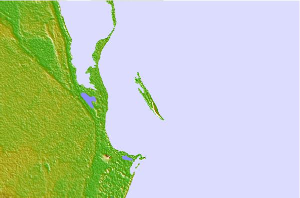
Use this relief map to navigate to tide stations, surf breaks and cities that are in the area of Isla Mujeres.
Other Nearby Locations' tide tables and tide charts to Isla Mujeres:
click location name for more details
 Surf breaks close to Isla Mujeres:
|
||
|---|---|---|
| Closest surf break | Rocky Point | 226 mi |
| Second closest surf break | San Pedro North Reef Pass | 242 mi |
| Third closest surf break | San Pedro South Reef Pass | 244 mi |
| Fourth closest surf break | East Point Long Cay | 265 mi |
| Fifth closest surf break | 7 Mile Beach | 371 mi |


 Nearest