
| Distance / Altitude | Location | Report Date / Time | Live Weather | Wind | Gusts | Temp. | Visibility | Cloud |
|---|---|---|---|---|---|---|---|---|
| 13 km N / 4 m | Seaside Park- NJ (United States) | 2026-04-03 06:00 local (2026/04/03 10:00 GMT) | - | moderate winds from the N (22 km/h at 355) | 6°C | - | - - 0 | |
| 24 km WNW / 25 m | Toms River (New jersey) | 2026-04-03 04:56 local (2026/04/03 08:56 GMT) | Moderate rain | light winds from the NE (9 km/h at 50) | — | 3 | overcast | |
| 27 km SE / - m | SHIP9 (ocean) | 2026-04-03 06:00 local (2026/04/03 10:00 GMT) | No report | light winds from the SSE (15 km/h at 150) | 7°C | - | no observation | |
| 28 km E / 3 m | Barnegat- NJ (Marine) | 2026-04-03 06:00 local (2026/04/03 10:00 GMT) | - (- km/h at -) | 6°C | - | |||
| 27 km SE / 3 m | SHIP5674 (Marine) | 2026-04-03 05:00 local (2026/04/03 09:00 GMT) | light winds from the ENE (13 km/h at 70) | 7°C | - | |||
| 27 km SE / - m | SHIP848 (ocean) | 2026-04-03 06:00 local (2026/04/03 10:00 GMT) | No report | light winds from the E (13 km/h at 90) | 7°C | - | no observation | |
| 27 km SE / - m | SHIP28 (ocean) | 2026-04-03 06:00 local (2026/04/03 10:00 GMT) | No report | light winds from the E (13 km/h at 90) | 7°C | - | no observation | |
| 27 km SE / - m | SHIP192 (ocean) | 2026-04-03 06:00 local (2026/04/03 10:00 GMT) | No report | light winds from the E (13 km/h at 90) | 7°C | - | no observation | |
| 27 km SE / 15 m | SHIP6329 (Marine) | 2026-04-03 05:00 local (2026/04/03 09:00 GMT) | light winds from the ENE (12.96 km/h at 70) | 6°C | - km | |||
| 27 km SE / 3 m | SHIP4045 (Marine) | 2026-04-03 05:00 local (2026/04/03 09:00 GMT) | light winds from the ENE (13 km/h at 70) | 7°C | - |
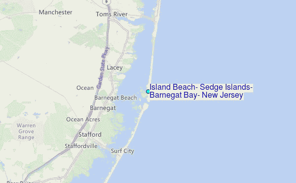
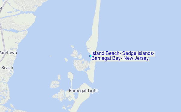
Choose Island Beach, Sedge Islands, Barnegat Bay, New Jersey Location Map Zoom:
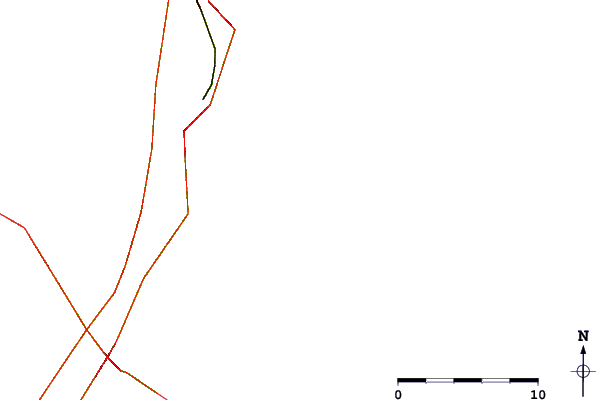
| Contours: | Roads & Rivers: | Select a
tide station / surf break / city |
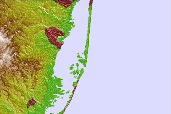
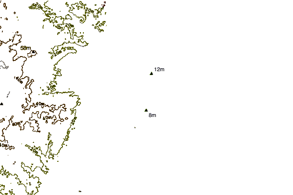
Use this relief map to navigate to tide stations, surf breaks and cities that are in the area of Island Beach, Sedge Islands, Barnegat Bay, New Jersey.
Other Nearby Locations' tide tables and tide charts to Island Beach, Sedge Islands, Barnegat Bay, New Jersey:
click location name for more details
 Surf breaks close to Island Beach, Sedge Islands, Barnegat Bay, New Jersey:
|
||
|---|---|---|
| Closest surf break | Island Beach State Park | 3 mi |
| Second closest surf break | Tices Sholls | 4 mi |
| Third closest surf break | Harvey Cedars | 7 mi |
| Fourth closest surf break | Middlesex | 7 mi |
| Fifth closest surf break | Cape May Avenue | 7 mi |


 Nearest
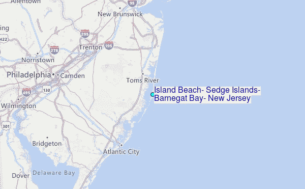