
| Distance / Altitude | Location | Report Date / Time | Live Weather | Wind | Gusts | Temp. | Visibility | Cloud |
|---|---|---|---|---|---|---|---|---|
| 56 km SW / 15 m | ASCATB174E36S (Marine) | 2026-02-22 09:39 local (2026/02/21 20:39 GMT) | moderate winds from the SW (20 km/h at 230) | — | - km | |||
| 59 km NNE / 38 m | Whangarei Aero Automatic Weather Station (New Zealand) | 2026-02-22 12:00 local (2026/02/21 23:00 GMT) | Clear skies | light winds from the SSW (17 km/h at 210) | 20°C | 20 km | no observation | |
| 59 km NNE / 38 m | Whangarei Aerodrome (New Zealand) | 2026-02-22 11:00 local (2026/02/21 22:00 GMT) | Clear skies | light winds from the SSW (11 km/h at 210) | 19°C | 10 km | - no observation - | |
| 67 km SE / 75 m | Albany (New Zealand) | 2026-02-22 11:44 local (2026/02/21 22:44 GMT) | dry | light winds from the WSW (16 km/h at 249) | 20°C | - | - - 0 | |
| 69 km SE / 64 m | Auckland (New Zealand) | 2026-02-22 11:43 local (2026/02/21 22:43 GMT) | dry | light winds from the WSW (10 km/h at 241) | 20°C | - | - - 0 | |
| 72 km SSE / 85 m | Maori Bay- Muriwai (New Zealand) | 2026-02-22 12:00 local (2026/02/21 23:00 GMT) | - | strong winds from the SW (43 km/h at 227) | — | - | - - 0 | |
| 81 km SSE / 56 m | Ranui wx (New Zealand) | 2026-02-22 12:04 local (2026/02/21 23:04 GMT) | dry | calm (3 km/h at 248) | 21°C | - | - - 0 | |
| 92 km SE / 54 m | Auckland (New Zealand) | 2026-02-22 11:49 local (2026/02/21 22:49 GMT) | dry | calm (5 km/h at 212) | 21°C | - | - - 0 | |
| 99 km ENE / 70 m | MokohinauIslandAws (New Zealand) | 2026-02-22 12:00 local (2026/02/21 23:00 GMT) | - | light winds from the SW (15 km/h at 230) | 19°C | - | - no observation - | |
| 102 km SE / 6 m | Highland Park wx (New Zealand) | 2026-02-22 12:13 local (2026/02/21 23:13 GMT) | dry | light winds from the SW (16 km/h at 231) | 22°C | - | - - 0 |
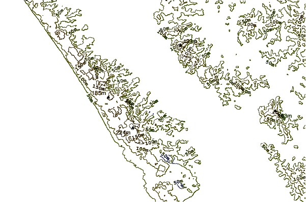
| Contours: | Roads & Rivers: | Select a
tide station / surf break / city |
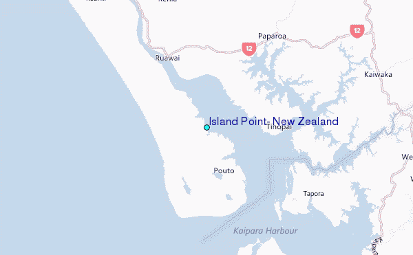
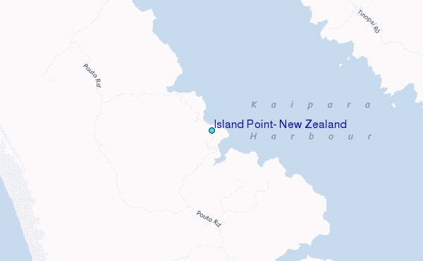
Use this relief map to navigate to tide stations, surf breaks and cities that are in the area of Island Point, New Zealand.
Other Nearby Locations' tide tables and tide charts to Island Point, New Zealand:
click location name for more details
 Surf breaks close to Island Point, New Zealand:
|
||
|---|---|---|
| Closest surf break | Baylys Beach | 24 mi |
| Second closest surf break | Waipu Cove | 27 mi |
| Third closest surf break | Waipu River | 28 mi |
| Fourth closest surf break | Langs beach | 29 mi |
| Fifth closest surf break | Black Swamp | 30 mi |


 Nearest
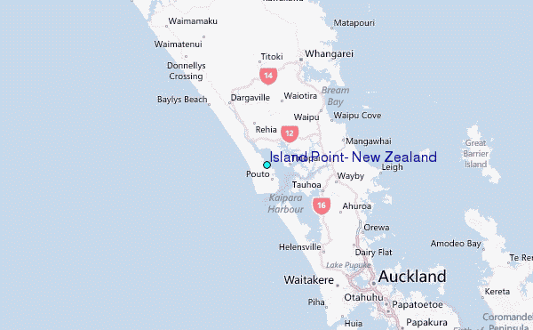