
| Distance / Altitude | Location | Report Date / Time | Live Weather | Wind | Gusts | Temp. | Visibility | Cloud |
|---|---|---|---|---|---|---|---|---|
| 10 km W / 217 m | Savannah/Hunter Army Airfield Airport (Georgia) | 2025-12-25 03:40 local (2025/12/25 08:40 GMT) | - | calm (0 km/h at 0) | 11°C | 0.0 | scattered | |
| 15 km ENE / 3 m | BUOY-FPKG1 (Marine) | 2025-12-25 03:30 local (2025/12/25 08:30 GMT) | - (0 km/h at -) | 13°C | - | |||
| 21 km WNW / 218 m | Savannah Airport (Georgia) | 2025-12-25 02:53 local (2025/12/25 07:53 GMT) | - | calm (0 km/h at 0) | 13°C | 13 | few | |
| 42 km NE / 210 m | Hilton Head Airport (North Carolina) | 2025-12-25 03:35 local (2025/12/25 08:35 GMT) | Mist - | calm (0 km/h at 0) | 12°C | 8 | broken | |
| 50 km SW / 214 m | Fort Stewart/Wright Army Airfield Airport (Georgia) | 2025-12-25 02:55 local (2025/12/25 07:55 GMT) | Dry and partly cloudy | calm (0 km/h at 0) | 12°C | 16 | broken | |
| 62 km NNE / 219 m | Beaufort Marine Corps Air Station Airport (South Carolina) | 2025-12-25 03:43 local (2025/12/25 08:43 GMT) | - | calm (0 km/h at 0) | 11°C | 0.0 | ||
| 66 km SSE / - m | SHIP147 (ocean) | 2025-12-25 03:00 local (2025/12/25 08:00 GMT) | - | light winds from the WSW (7 km/h at 240) | 16°C | - | no observation | |
| 66 km SSE / - m | SHIP1395 (ocean) | 2025-12-25 04:00 local (2025/12/25 09:00 GMT) | - | calm (4 km/h at 290) | 16°C | - | no observation | |
| 66 km SSE / - m | SHIP966 (ocean) | 2025-12-25 04:00 local (2025/12/25 09:00 GMT) | - | calm (4 km/h at 280) | 16°C | - | no observation | |
| 66 km SSE / - m | SHIP1594 (ocean) | 2025-12-25 02:00 local (2025/12/25 07:00 GMT) | - | light winds from the WSW (7 km/h at 250) | 16°C | - | no observation |
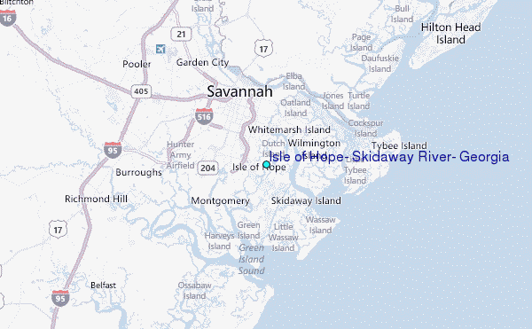
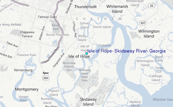
Choose Isle of Hope, Skidaway River, Georgia Location Map Zoom:
| Contours: | Roads & Rivers: | Select a
tide station / surf break / city |
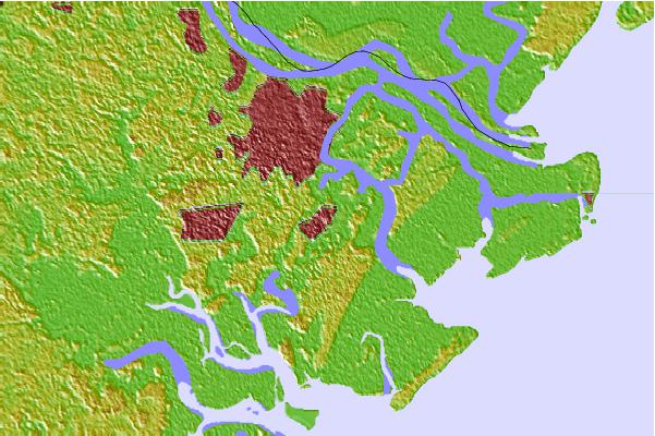

Use this relief map to navigate to tide stations, surf breaks and cities that are in the area of Isle of Hope, Skidaway River, Georgia.
Other Nearby Locations' tide tables and tide charts to Isle of Hope, Skidaway River, Georgia:
click location name for more details
 Surf breaks close to Isle of Hope, Skidaway River, Georgia:
|
||
|---|---|---|
| Closest surf break | 17th Street Boardwalk | 12 mi |
| Second closest surf break | Tybee Pier | 12 mi |
| Third closest surf break | Tybee South End Sand Bar | 12 mi |
| Fourth closest surf break | North Jetty | 12 mi |
| Fifth closest surf break | 2nd Street | 12 mi |


 Nearest
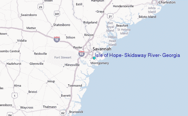