
| Distance / Altitude | Location | Report Date / Time | Live Weather | Wind | Gusts | Temp. | Visibility | Cloud |
|---|---|---|---|---|---|---|---|---|
| 23 km SE / 53 m | Salvador (Brazil) | 2026-05-24 15:00 local (2026/05/24 18:00 GMT) | no report | calm (4 km/h at 90) | 24°C | - | - | |
| 39 km E / 215 m | Salvador/Dois de Julho Airport (Brazil) | 2026-05-24 14:00 local (2026/05/24 17:00 GMT) | Dry and partly cloudy | moderate winds from the E.(Wind varies from 060 to 120 degs) (20 km/h at 90) | 29°C | 10.0 | broken few | |
| 57 km W / 227 m | Cruz Das Almas (86657 -0) (Brazil) | 2026-05-24 15:00 local (2026/05/24 18:00 GMT) | no report | calm (4 km/h at 190) | 21°C | - | - | |
| 70 km SSW / 106 m | Valenca (86676 -0) (Brazil) | 2026-05-24 15:00 local (2026/05/24 18:00 GMT) | no report | calm (4 km/h at 230) | 22°C | - | - | |
| 83 km NW / 232 m | Feira DE Santana (86658 -0) (Brazil) | 2026-05-24 15:00 local (2026/05/24 18:00 GMT) | no report | calm (4 km/h at 140) | 21°C | - | - | |
| 103 km WSW / 408 m | Amargosa (Brazil) | 2026-05-24 15:00 local (2026/05/24 18:00 GMT) | no report | calm (0 km/h at 150) | 19°C | - | - | |
| 117 km S / 12 m | Marau (Brazil) | 2026-05-24 15:00 local (2026/05/24 18:00 GMT) | no report | calm (0 km/h at 130) | 25°C | - | - | |
| 140 km NW / 340 m | Serrinha (86637 -0) (Brazil) | 2026-05-24 15:00 local (2026/05/24 18:00 GMT) | no report | - (- km/h at -) | 21°C | - | - | |
| 166 km NE / 16 m | Conde (Brazil) | 2026-05-24 15:00 local (2026/05/24 18:00 GMT) | no report | light winds from the ESE (14 km/h at 120) | 26°C | - | - | |
| 171 km SW / 757 m | Itirucu (86674 -0) (Brazil) | 2026-05-24 15:00 local (2026/05/24 18:00 GMT) | no report | - (- km/h at -) | 18°C | - | - |
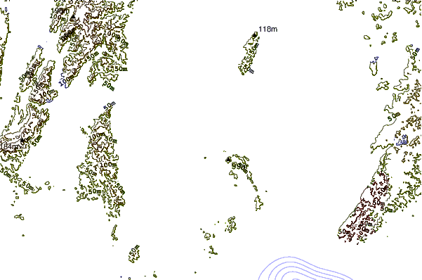
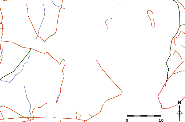
| Contours: | Roads & Rivers: | Select a
tide station / surf break / city |
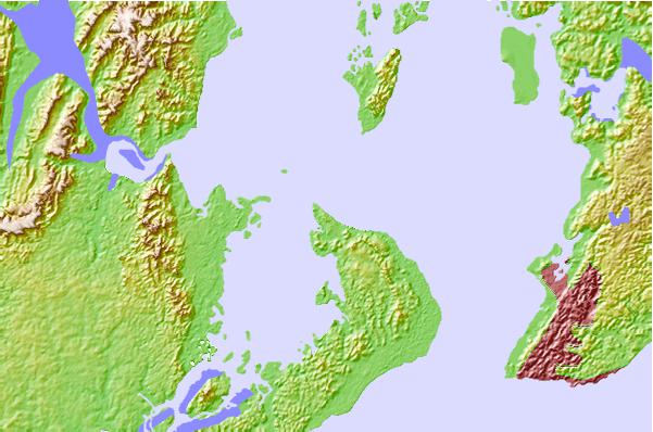
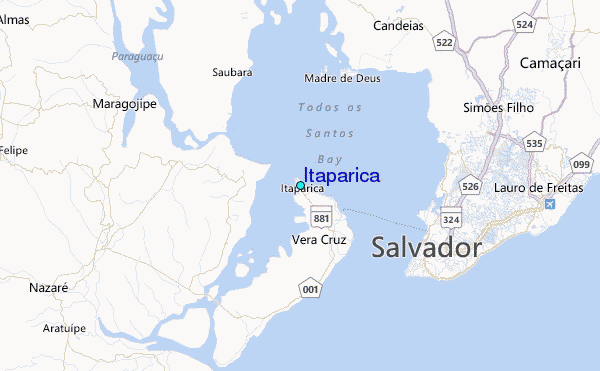
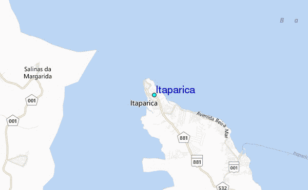
Use this relief map to navigate to tide stations, surf breaks and cities that are in the area of Itaparica.
Other Nearby Locations' tide tables and tide charts to Itaparica:
click location name for more details
 Surf breaks close to Itaparica:
|
||
|---|---|---|
| Closest surf break | Espanhol | 12 mi |
| Second closest surf break | Barra Vento | 13 mi |
| Third closest surf break | Farol da Barra | 13 mi |
| Fourth closest surf break | Tony | 16 mi |
| Fifth closest surf break | Amaralina | 16 mi |


 Nearest
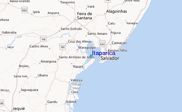