
| Distance / Altitude | Location | Report Date / Time | Live Weather | Wind | Gusts | Temp. | Visibility | Cloud |
|---|---|---|---|---|---|---|---|---|
| 118 km NNE / 82 m | Hatay Airport (Turkey) | 2025-12-25 00:32 local (2025/12/24 21:32 GMT) | - | wind obs. (35 kph from 210 degs) was rejected (- km/h at -) | — | 20 | no significant cloud - - | |
| 138 km N / 119 m | Iskenderun (Turkey) | 2025-12-25 00:00 local (2025/12/24 21:00 GMT) | - | calm (4 km/h at 130) | — | 35 km | - scattered - | |
| 148 km NE / 706 m | Aleppo Airport (Syria) | 2025-12-25 00:00 local (2025/12/24 21:00 GMT) | Mist - | calm (4 km/h at 110) | 5°C | 3.0 | ||
| 175 km S / 217 m | Beirut Airport (Lebanon) | 2025-12-24 23:00 local (2025/12/24 20:00 GMT) | Dry and partly cloudy | light winds from the ESE (9 km/h at 110) | 17°C | 8.0 | no significant cloud | |
| 186 km NE / 638 m | Kilis (Turkey) | 2025-12-25 00:00 local (2025/12/24 21:00 GMT) | Visibility reduced by smoke | calm (0 km/h at 0) | 7°C | 25 km | - no observation - | |
| 189 km NW / 66 m | İncirlikHavalimani (Turkey) | 2025-12-25 00:00 local (2025/12/24 21:00 GMT) | - | light winds from the NE (7 km/h at 50) | — | 0.0 | - scattered - | |
| 190 km NW / 20 m | Adana Sakirpasa (Turkey) | 2025-12-25 00:00 local (2025/12/24 21:00 GMT) | Haze | light winds from the N (6 km/h at 10) | 11°C | 26 km | - scattered - | |
| 197 km N / 86 m | Osmaniye (Turkey) | 2025-12-25 00:00 local (2025/12/24 21:00 GMT) | - | wind obs. (7 kph from 300 degs) was rejected (- km/h at -) | — | 20 | - no observation - | |
| 201 km WNW / 3 m | Mersin (Turkey) | 2025-12-25 00:00 local (2025/12/24 21:00 GMT) | no report | calm (0 km/h at 0) | 13°C | 31 km | - no observation - | |
| 213 km W / 105 m | Silifke (Turkey) | 2025-12-25 00:00 local (2025/12/24 21:00 GMT) | - | calm (4 km/h at 290) | — | 20 | - no observation - |
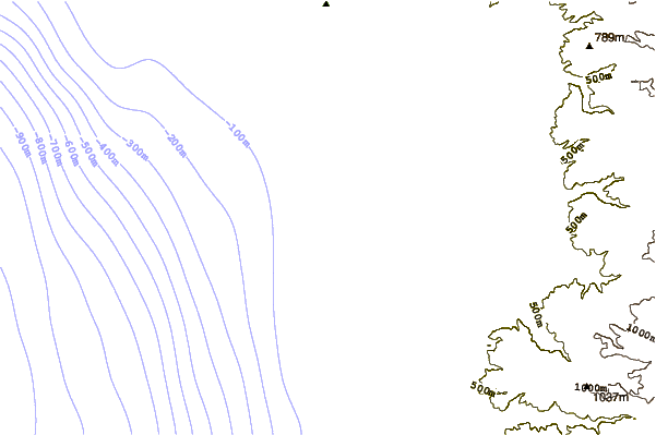
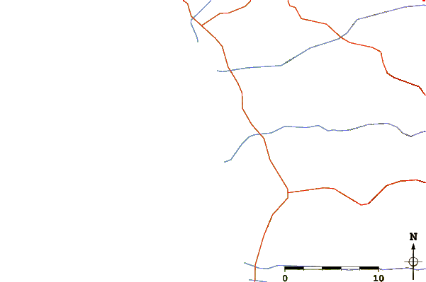
| Contours: | Roads & Rivers: | Select a
tide station / surf break / city |
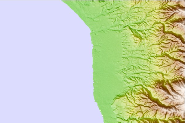
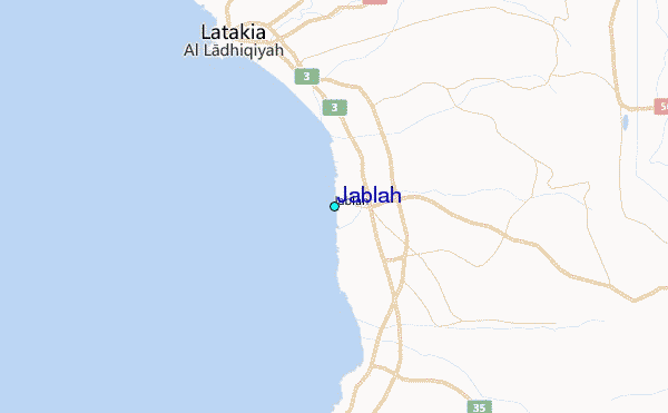
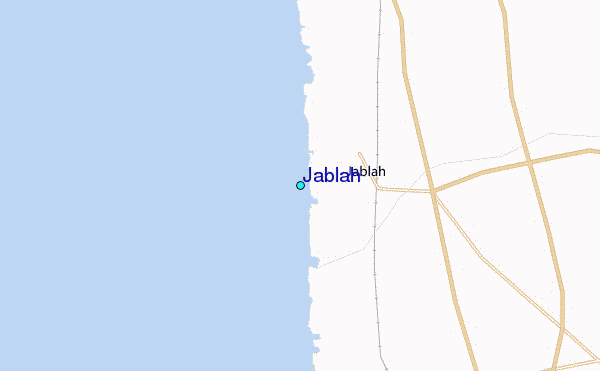
Use this relief map to navigate to tide stations, surf breaks and cities that are in the area of Jablah.
Other Nearby Locations' tide tables and tide charts to Jablah:
click location name for more details
 Surf breaks close to Jablah:
|
||
|---|---|---|
| Closest surf break | Sandy Beach - Chekka | 73 mi |
| Second closest surf break | Batroun or Colonel | 78 mi |
| Third closest surf break | Tam Tam | 87 mi |
| Fourth closest surf break | Nahr Brahim | 91 mi |
| Fifth closest surf break | Phil and Did (Akif's reef) | 119 mi |


 Nearest
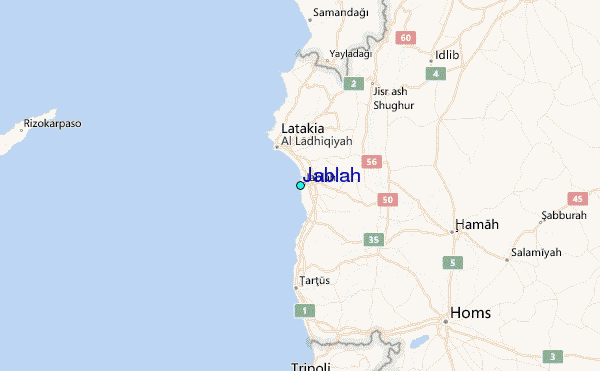