
| Distance / Altitude | Location | Report Date / Time | Live Weather | Wind | Gusts | Temp. | Visibility | Cloud |
|---|---|---|---|---|---|---|---|---|
| 21 km S / 3 m | BUOY-ACXS1 (Marine) | 2026-06-27 14:45 local (2026/06/27 18:45 GMT) | calm (5 km/h at 130) | 33°C | - | |||
| 25 km WNW / 31 m | Lowcountry Regional Airport - Walterboro (South Carolina) (South Carolina) | 2026-06-27 14:35 local (2026/06/27 18:35 GMT) | Clear | light winds from the W (11 km/h at 260) | 34°C | 16 | ||
| 30 km W / 21 m | lightning 13km SW of Walterboro (United States) | 2026-06-27 14:47 local (2026/06/27 18:47 GMT) | Thunderstorm | (- km/h at -) | — | |||
| 36 km SSW / 3 m | lightning 9km N of Burton (United States) | 2026-06-27 15:48 local (2026/06/27 19:48 GMT) | Thunderstorm | (- km/h at -) | — | |||
| 38 km NNE / 18 m | Summerville Airport (South Carolina) (South Carolina) | 2026-06-27 14:35 local (2026/06/27 18:35 GMT) | - | light winds from the SSW (9 km/h at 210) | 33°C | 16 | few | |
| 39 km S / 5 m | lightning 4km ENE of Beaufort (United States) | 2026-06-27 15:48 local (2026/06/27 19:48 GMT) | Thunderstorm | (- km/h at -) | — | |||
| 40 km SSW / 219 m | Beaufort Marine Corps Air Station Airport (South Carolina) | 2026-06-27 13:56 local (2026/06/27 17:56 GMT) | - | light winds from the SSW.(Wind varies from 160 to 230 degs) (13 km/h at 200) | 35°C | 16 | few | |
| 42 km ENE / 216 m | Charleston Airport (South Carolina) | 2026-06-27 13:56 local (2026/06/27 17:56 GMT) | Dry and partly cloudy | light winds from the WSW (17 km/h at 250) | 34°C | 16 | scattered broken | |
| 43 km E / 6 m | Charleston Executive Airport (South Carolina) (South Carolina) | 2026-06-27 14:35 local (2026/06/27 18:35 GMT) | Clear | moderate winds from the SSW (24 km/h at 200) | 32°C | 16 | ||
| 51 km WNW / 26 m | lightning 24km NNE of Varnville (United States) | 2026-06-27 14:30 local (2026/06/27 18:30 GMT) | Thunderstorm | (- km/h at -) | — |
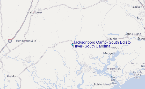
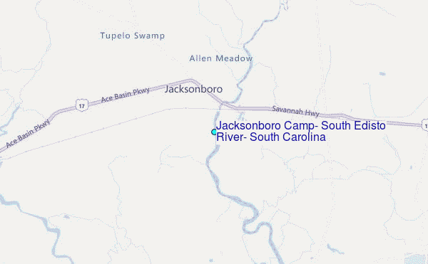
Choose Jacksonboro Camp, South Edisto River, South Carolina Location Map Zoom:
| Contours: | Roads & Rivers: | Select a
tide station / surf break / city |
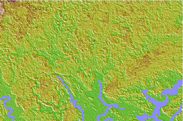

Use this relief map to navigate to tide stations, surf breaks and cities that are in the area of Jacksonboro Camp, South Edisto River, South Carolina.
Other Nearby Locations' tide tables and tide charts to Jacksonboro Camp, South Edisto River, South Carolina:
click location name for more details
 Surf breaks close to Jacksonboro Camp, South Edisto River, South Carolina:
|
||
|---|---|---|
| Closest surf break | Edisto Beach | 19 mi |
| Second closest surf break | Hunting Island | 29 mi |
| Third closest surf break | Folly Beach Pier | 30 mi |
| Fourth closest surf break | Folly Beach | 31 mi |
| Fifth closest surf break | The Washout | 32 mi |


 Nearest
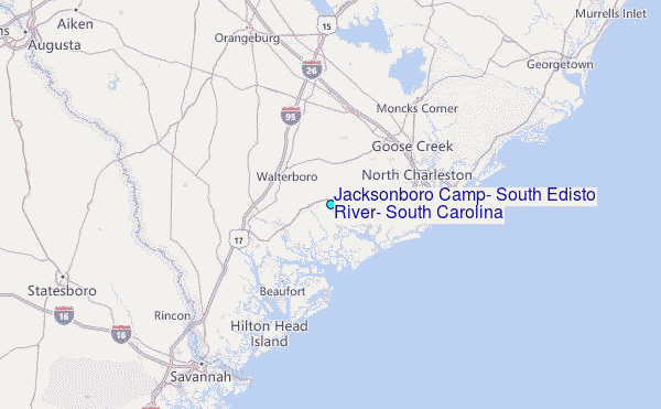