
| Distance / Altitude | Location | Report Date / Time | Live Weather | Wind | Gusts | Temp. | Visibility | Cloud |
|---|---|---|---|---|---|---|---|---|
| 38 km S / 217 m | Beirut Airport (Lebanon) | 2025-12-25 09:00 local (2025/12/25 07:00 GMT) | - | light winds from the E (6 km/h at 100) | 18°C | 10.0 | few | |
| 112 km SE / 709 m | Damascus Airport (Syria) | 2025-12-25 08:00 local (2025/12/25 06:00 GMT) | Fog - | light winds from the NNE (7 km/h at 20) | — | 0.1 | ||
| 128 km S / 397 m | Galilee / Pina Airport (Israel) | 2025-12-25 07:50 local (2025/12/25 05:50 GMT) | - | calm (4 km/h at 1) | — | 0.0 | ||
| 129 km S / 934 m | Har -Knaan (Zefat) (Israel) | 2025-12-25 09:00 local (2025/12/25 07:00 GMT) | - | - (- km/h at -) | — | - | - | |
| 132 km S / 1050 m | 7winds Har Haari (Israel) | 2025-12-25 09:00 local (2025/12/25 07:00 GMT) | - | wind obs. (56 kph from 64 degs) was rejected (- km/h at -) | 9°C | - | - - 0 | |
| 137 km S / 0 m | SHAVE ZIYYON (Israel) | 2025-12-25 09:00 local (2025/12/25 07:00 GMT) | - | fresh winds from the ESE (35 km/h at 108) | 18°C | - | - - 0 | |
| 139 km S / 0 m | SEA OF GALILEE (Israel) | 2025-12-25 09:00 local (2025/12/25 07:00 GMT) | - | calm (0 km/h at 1) | 17°C | - | - - 0 | |
| 144 km S / 0 m | MIGDAL ISRAEL (Israel) | 2025-12-25 09:00 local (2025/12/25 07:00 GMT) | - | wind obs. (6 kph from 129 degs) was rejected (- km/h at -) | 19°C | - | - - 0 | |
| 155 km S / 410 m | 7winds Mevo Hama (Israel) | 2025-12-25 09:00 local (2025/12/25 07:00 GMT) | - | wind obs. (91 kph from 80 degs) was rejected (- km/h at -) | 11°C | - | - - 0 | |
| 157 km S / 0 m | BAT GALIM (Israel) | 2025-12-25 09:00 local (2025/12/25 07:00 GMT) | - | fresh winds from the ESE (33 km/h at 109) | 18°C | - | - - 0 |
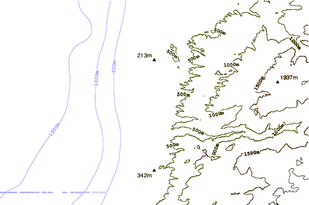
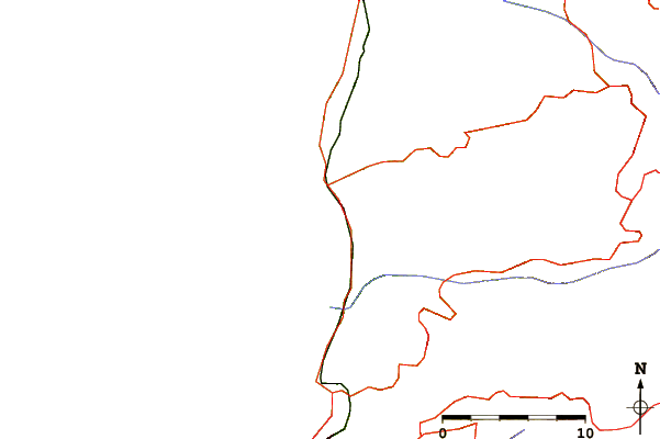
| Contours: | Roads & Rivers: | Select a
tide station / surf break / city |
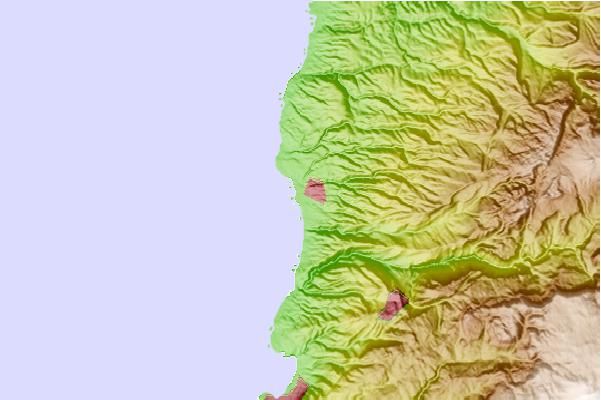
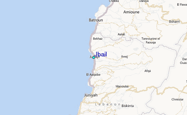
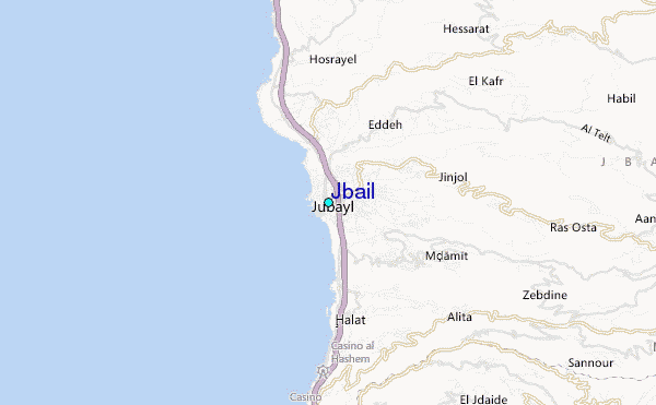
Use this relief map to navigate to tide stations, surf breaks and cities that are in the area of Jbail.
Other Nearby Locations' tide tables and tide charts to Jbail:
click location name for more details
 Surf breaks close to Jbail:
|
||
|---|---|---|
| Closest surf break | Tam Tam | 1 mi |
| Second closest surf break | Nahr Brahim | 4 mi |
| Third closest surf break | Batroun or Colonel | 9 mi |
| Fourth closest surf break | Sandy Beach - Chekka | 14 mi |
| Fifth closest surf break | Phil and Did (Akif's reef) | 34 mi |


 Nearest
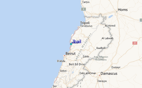