
| Distance / Altitude | Location | Report Date / Time | Live Weather | Wind | Gusts | Temp. | Visibility | Cloud |
|---|---|---|---|---|---|---|---|---|
| 163 km N / 3 m | SHIP10401 (Marine) | 2026-04-30 04:00 local (2026/04/30 08:00 GMT) | - (- km/h at -) | 23°C | - | |||
| 179 km WNW / 203 m | Guantanamo Bay Airport (Cuba) | 2026-04-30 02:51 local (2026/04/30 06:51 GMT) | Clear | light winds from the NNW (7 km/h at 330) | 23°C | 16 | ||
| 232 km WNW / 209 m | Santiago De Cuba Airport (Cuba) | 2026-04-30 02:50 local (2026/04/30 06:50 GMT) | - | light winds from the N (7 km/h at 360) | — | 0.0 | ||
| 293 km SW / 191 m | Kingston/Norman Manley International Airport (Jamaica) | 2026-04-30 04:00 local (2026/04/30 08:00 GMT) | - | light winds from the N (17 km/h at 350) | 27°C | - | - no observation - | |
| 293 km SW / 3 m | SHIP4606 (Marine) | 2026-04-30 03:00 local (2026/04/30 07:00 GMT) | light winds from the N (8 km/h at 350) | 26°C | - | |||
| 293 km SW / 191 m | Kingston/Norman Manley International Airport (Jamaica) | 2026-04-30 04:00 local (2026/04/30 08:00 GMT) | - | light winds from the N (17 km/h at 350) | 27°C | - | - no observation - | |
| 293 km SW / 3 m | SHIP9159 (Marine) | 2026-04-30 03:00 local (2026/04/30 07:00 GMT) | light winds from the N (8 km/h at 350) | 26°C | - | |||
| 293 km SW / 3 m | SHIP10098 (Marine) | 2026-04-30 03:00 local (2026/04/30 07:00 GMT) | light winds from the N (8 km/h at 350) | 26°C | - | |||
| 293 km SW / 15 m | SHIP10934 (Marine) | 2026-04-30 03:00 local (2026/04/30 07:00 GMT) | light winds from the N (7.5600000000000005 km/h at 350) | — | - km | |||
| 293 km SW / 3 m | SHIP9354 (Marine) | 2026-04-30 04:00 local (2026/04/30 08:00 GMT) | - (- km/h at -) | 28°C | - |
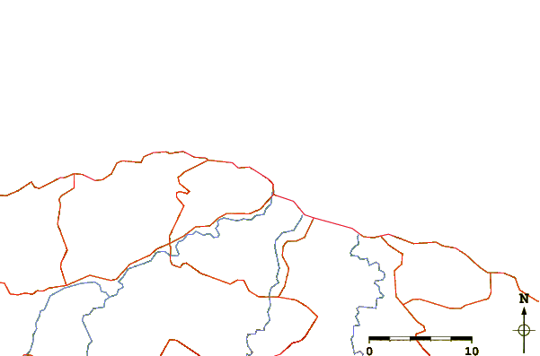
| Contours: | Roads & Rivers: | Select a
tide station / surf break / city |
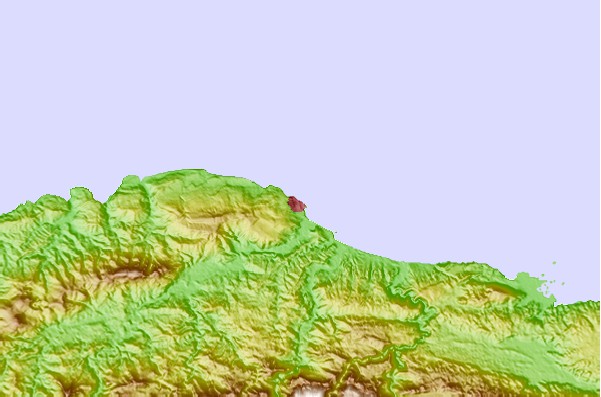
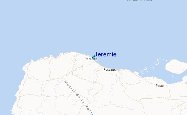
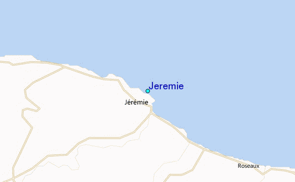
Use this relief map to navigate to tide stations, surf breaks and cities that are in the area of Jeremie.
Other Nearby Locations' tide tables and tide charts to Jeremie:
click location name for more details
 Surf breaks close to Jeremie:
|
||
|---|---|---|
| Closest surf break | Jacmel | 108 mi |
| Second closest surf break | The Ranch | 145 mi |
| Third closest surf break | Long Bay | 149 mi |
| Fourth closest surf break | Boston Bay | 150 mi |
| Fifth closest surf break | Winnifred Beach | 152 mi |


 Nearest
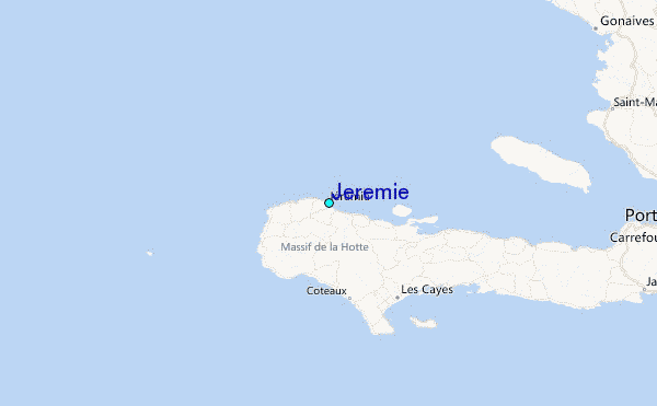