
| Distance / Altitude | Location | Report Date / Time | Live Weather | Wind | Gusts | Temp. | Visibility | Cloud |
|---|---|---|---|---|---|---|---|---|
| 21 km NNE / 3 m | Crystal River Airport (Florida) (Florida) | 2025-12-20 12:35 local (2025/12/20 17:35 GMT) | Clear | calm (0 km/h at 0) | 20°C | 16 | ||
| 29 km S / 3 m | BUOY-ARPF1 (Marine) | 2025-12-20 10:54 local (2025/12/20 15:54 GMT) | light winds from the E (11 km/h at 100) | 16°C | - | |||
| 31 km SE / 219 m | Brooksville Airport (Florida) | 2025-12-20 11:53 local (2025/12/20 16:53 GMT) | Clear | light winds from the E (11 km/h at 90) | 21°C | 16 | ||
| 34 km ENE / 15 m | Inverness Airport (Florida) (Florida) | 2025-12-20 12:35 local (2025/12/20 17:35 GMT) | Haze - | calm (0 km/h at 0) | — | 8 | ||
| 53 km ESE / 73 m | Lacoochee (Florida) | 2025-12-20 12:01 local (2025/12/20 17:01 GMT) | dry | wind obs. (19 kph from 17 degs) was rejected (- km/h at -) | 8°C | - | - - 0 | |
| 62 km WNW / 3 m | BUOY-CKYF1 (Marine) | 2025-12-20 12:48 local (2025/12/20 17:48 GMT) | light winds from the ESE (8 km/h at 120) | — | - | |||
| 67 km ENE / 25 m | Oxford wx (United States) | 2025-12-20 12:21 local (2025/12/20 17:21 GMT) | dry | calm (3 km/h at 13) | 20°C | - | - - 0 | |
| 67 km NE / 220 m | Ocala Municipal Airport (Florida) | 2025-12-20 11:51 local (2025/12/20 16:51 GMT) | Clear | light winds from the E (9 km/h at 100) | 19°C | 16 | ||
| 68 km E / 20 m | Whitney wx (United States) | 2025-12-20 12:06 local (2025/12/20 17:06 GMT) | dry | calm (2 km/h at 111) | 22°C | - | - - 0 | |
| 69 km ENE / 25 m | The Villages (Florida) | 2025-12-20 12:34 local (2025/12/20 17:34 GMT) | dry | calm (0 km/h at 80) | 20°C | - | - - 0 |
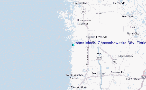
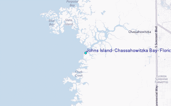
Choose Johns Island, Chassahowitzka Bay, Florida Location Map Zoom:
| Contours: | Roads & Rivers: | Select a
tide station / surf break / city |
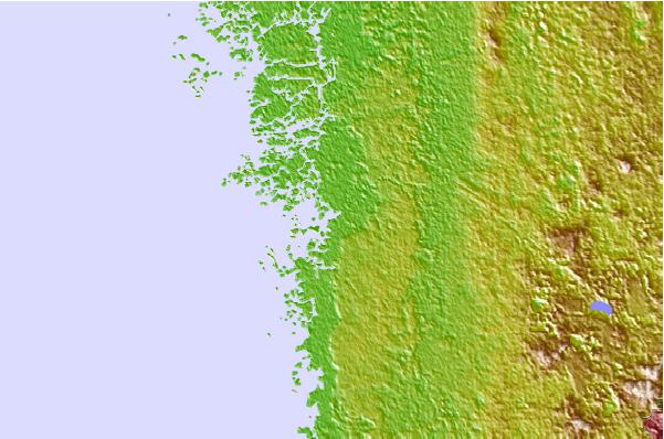
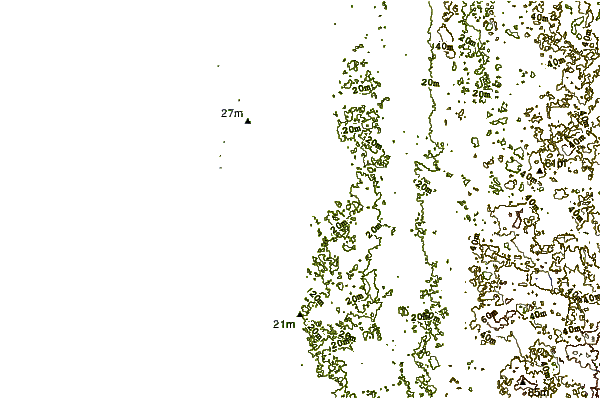
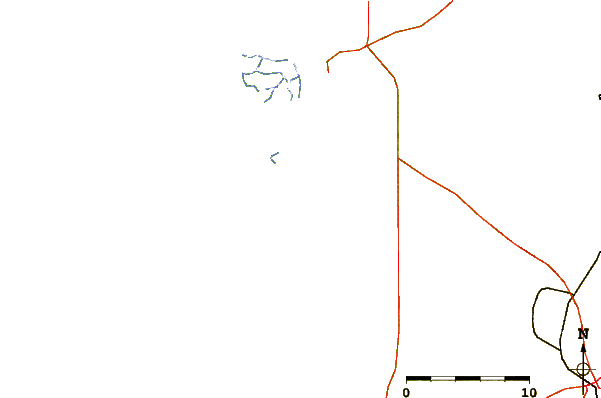
Use this relief map to navigate to tide stations, surf breaks and cities that are in the area of Johns Island, Chassahowitzka Bay, Florida.
Other Nearby Locations' tide tables and tide charts to Johns Island, Chassahowitzka Bay, Florida:
click location name for more details
 Surf breaks close to Johns Island, Chassahowitzka Bay, Florida:
|
||
|---|---|---|
| Closest surf break | Anclote Island | 37 mi |
| Second closest surf break | Honeymoon Island | 42 mi |
| Third closest surf break | Clearwater Pass | 51 mi |
| Fourth closest surf break | Sand Key Park | 52 mi |
| Fifth closest surf break | Clearwater Beach | 53 mi |


 Nearest
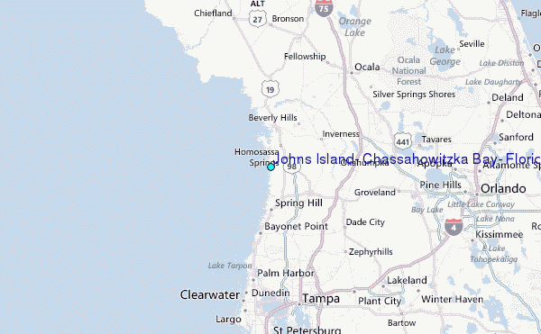