
| Distance / Altitude | Location | Report Date / Time | Live Weather | Wind | Gusts | Temp. | Visibility | Cloud |
|---|---|---|---|---|---|---|---|---|
| 650 km NE / 3 m | SHIP9271 (Marine) | 2026-03-24 15:00 local (2026/03/25 01:00 GMT) | - (- km/h at -) | 25°C | - | |||
| 1148 km NE / 3 m | NW Hawaii Buoy (Marine) | 2026-03-24 14:50 local (2026/03/25 00:50 GMT) | fresh winds from the ENE (32 km/h at 60) | 21°C | - | |||
| 659 km NE / 15 m | SHIP2935 (Marine) | 2026-03-24 14:00 local (2026/03/25 00:00 GMT) | - (- km/h at -) | — | - km | |||
| 659 km NE / 15 m | SHIP7954 (Marine) | 2026-03-24 14:00 local (2026/03/25 00:00 GMT) | - (- km/h at -) | — | - km | |||
| 687 km NE / 3 m | SHIP7314 (Marine) | 2026-03-24 13:00 local (2026/03/24 23:00 GMT) | - (- km/h at -) | 25°C | - | |||
| 687 km NE / 15 m | SHIP9062 (Marine) | 2026-03-24 13:00 local (2026/03/24 23:00 GMT) | - (- km/h at -) | — | - km | |||
| 687 km NE / 15 m | SHIP4185 (Marine) | 2026-03-24 13:00 local (2026/03/24 23:00 GMT) | - (- km/h at -) | — | - km | |||
| 687 km NE / 15 m | SHIP2822 (Marine) | 2026-03-24 13:00 local (2026/03/24 23:00 GMT) | - (- km/h at -) | — | - km | |||
| 1028 km ENE / 15 m | SHIP8764 (Marine) | 2026-03-24 14:00 local (2026/03/25 00:00 GMT) | - (- km/h at -) | — | - km | |||
| 1056 km ENE / 15 m | SHIP8150 (Marine) | 2026-03-24 13:00 local (2026/03/24 23:00 GMT) | - (- km/h at -) | — | - km |
| Contours: | Roads & Rivers: | Select a
tide station / surf break / city |
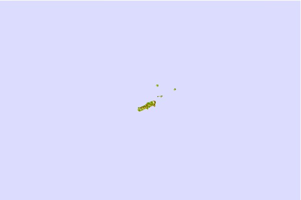
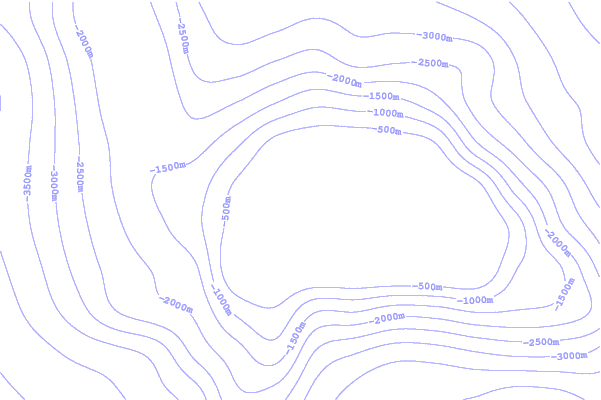
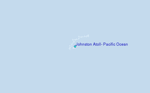
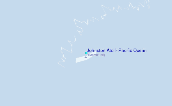
Use this relief map to navigate to tide stations, surf breaks and cities that are in the area of Johnston Atoll, Pacific Ocean.
Other Nearby Locations' tide tables and tide charts to Johnston Atoll, Pacific Ocean:
click location name for more details
 Surf breaks close to Johnston Atoll, Pacific Ocean:
|
||
|---|---|---|
| Closest surf break | Majors Bay | 733 mi |
| Second closest surf break | Davidson Point | 735 mi |
| Third closest surf break | Polihale | 736 mi |
| Fourth closest surf break | Infinities | 737 mi |
| Fifth closest surf break | Pakalas | 737 mi |


 Nearest