
| Distance / Altitude | Location | Report Date / Time | Live Weather | Wind | Gusts | Temp. | Visibility | Cloud |
|---|---|---|---|---|---|---|---|---|
| 4 km WNW / 216 m | Kaneohe Bay Marine Corps Airfield Airport (Hawaii) | 2026-03-27 13:57 local (2026/03/27 23:57 GMT) | Dry and partly cloudy | moderate winds from the NNE (28 km/h at 20) | 23°C | 11 | broken broken | |
| 6 km W / 3 m | BUOY-MOKH1 (Marine) | 2026-03-27 14:36 local (2026/03/28 00:36 GMT) | moderate winds from the NNE (24 km/h at 20) | 23°C | - | |||
| 6 km E / 3 m | Mokapu Point- HI (Marine) | 2026-03-27 14:26 local (2026/03/28 00:26 GMT) | - (- km/h at -) | — | - | |||
| 9 km NW / 3 m | Kaneohe Bay- WETS- HI (Marine) | 2026-03-27 14:56 local (2026/03/28 00:56 GMT) | - (- km/h at -) | — | - | |||
| 9 km W / 3 m | BUOY-HRRH1 (Marine) | 2026-03-27 14:30 local (2026/03/28 00:30 GMT) | light winds from the N (9 km/h at 10) | 23°C | - | |||
| 13 km S / 3 m | SHIP4096 (Marine) | 2026-03-27 13:00 local (2026/03/27 23:00 GMT) | - (- km/h at -) | 24°C | - | |||
| 13 km S / 101 m | Maunalani Heights wx (United States) | 2026-03-27 14:29 local (2026/03/28 00:29 GMT) | dry | wind obs. (3 kph from 317 degs) was rejected (- km/h at -) | 23°C | - | - - 0 | |
| 13 km S / 15 m | SHIP2831 (Marine) | 2026-03-27 14:00 local (2026/03/28 00:00 GMT) | - (- km/h at -) | — | - km | |||
| 13 km S / 3 m | SHIP8999 (Marine) | 2026-03-27 14:00 local (2026/03/28 00:00 GMT) | - (- km/h at -) | 24°C | - | |||
| 13 km S / 15 m | SHIP3587 (Marine) | 2026-03-27 13:00 local (2026/03/27 23:00 GMT) | - (- km/h at -) | — | - km |
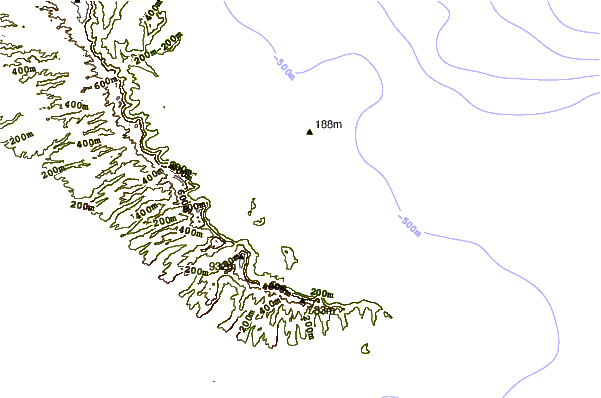
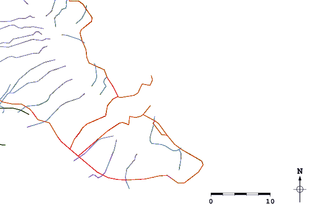
| Contours: | Roads & Rivers: | Select a
tide station / surf break / city |
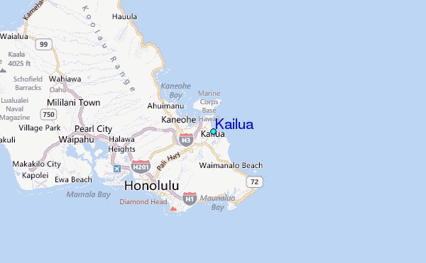
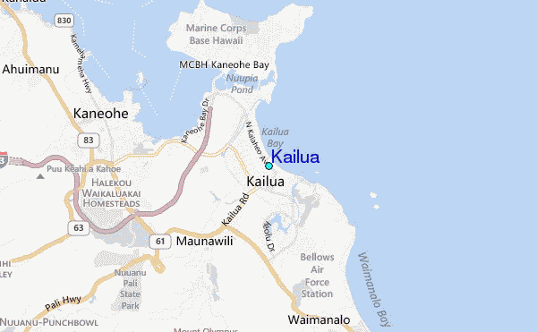
Use this relief map to navigate to tide stations, surf breaks and cities that are in the area of Kailua.
Other Nearby Locations' tide tables and tide charts to Kailua:
click location name for more details
 Surf breaks close to Kailua:
|
||
|---|---|---|
| Closest surf break | Kailua Beach | 0 mi |
| Second closest surf break | Dune Circle | 1 mi |
| Third closest surf break | Kalama | 1 mi |
| Fourth closest surf break | Castles Beach | 1 mi |
| Fifth closest surf break | Wraps | 2 mi |


 Nearest
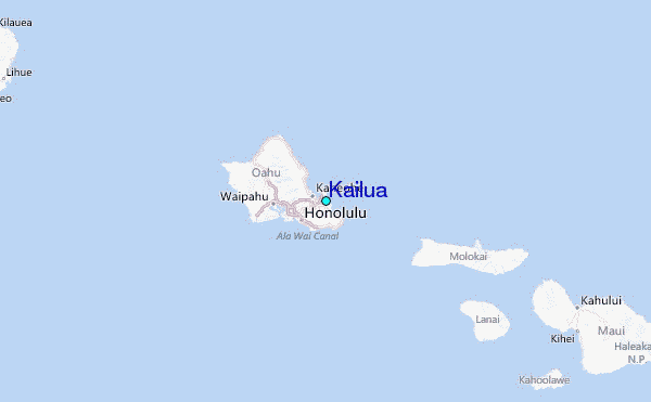