
| Distance / Altitude | Location | Report Date / Time | Live Weather | Wind | Gusts | Temp. | Visibility | Cloud |
|---|---|---|---|---|---|---|---|---|
| 5 km S / 3 m | SurabayaPerakII (Indonesia) | 2024-04-26 19:00 local (2024/04/26 12:00 GMT) | - | calm (0 km/h at 0) | 30°C | 28 km | - scattered - | |
| 23 km SSE / 2 m | Juanda Airport (Indonesia) | 2024-04-26 20:30 local (2024/04/26 13:30 GMT) | - | light winds from the E (15 km/h at 80) | 29°C | 10.0 | few | |
| 133 km E / 3 m | Kalianget(MaduraIs) (Indonesia) | 2024-04-26 19:00 local (2024/04/26 12:00 GMT) | - | light winds from the SE (9 km/h at 130) | 29°C | 28 km | scattered | |
| 146 km N / 3 m | Sangkapura(BaweanIs.) (Indonesia) | 2024-04-26 19:00 local (2024/04/26 12:00 GMT) | State of sky unchanged | light winds from the E (6 km/h at 90) | 29°C | 29 km | scattered | |
| 216 km ESE / 221 m | Banyuwangi (Indonesia) | 2024-04-26 19:00 local (2024/04/26 12:00 GMT) | - | light winds from the ESE (6 km/h at 120) | 28°C | 28 km | mostly cloudy |
| Contours: | Roads & Rivers: | Select a
tide station / surf break / city |
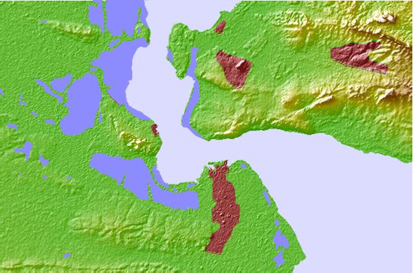
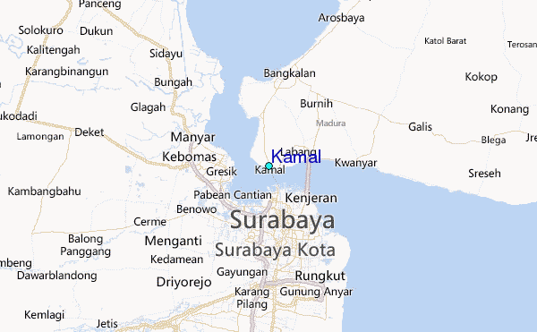
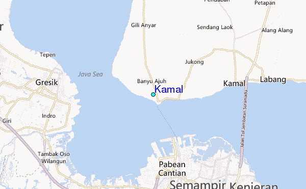
Use this relief map to navigate to tide stations, surf breaks and cities that are in the area of Kamal.
Other Nearby Locations' tide tables and tide charts to Kamal:
click location name for more details
 Surf breaks close to Kamal:
|
||
|---|---|---|
| Closest surf break | Grajagan Bay/G-Land | 155 mi |
| Second closest surf break | Tanjung Kucur | 158 mi |
| Third closest surf break | Medewi | 168 mi |
| Fourth closest surf break | Balian | 180 mi |
| Fifth closest surf break | Canggu | 195 mi |

 Nearest
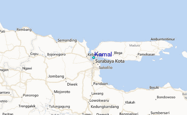