
| Distance / Altitude | Location | Report Date / Time | Live Weather | Wind | Gusts | Temp. | Visibility | Cloud |
|---|---|---|---|---|---|---|---|---|
| 18 km ESE / 10 m | Sihanoukville International Airport (Cambodia) | 2026-03-25 07:30 local (2026/03/25 00:30 GMT) | Dry and partly cloudy | light winds from the ENE (6 km/h at 70) | 25°C | 9.0 | scattered | |
| 69 km SE / 4 m | Phú Quốc Airport (Viet nam) | 2026-03-25 07:30 local (2026/03/25 00:30 GMT) | Dry and partly cloudy | calm (4 km/h at 1) | 26°C | 10.0 | scattered | |
| 124 km NW / 13 m | Koh Kong (Cambodia) | 2026-03-25 08:00 local (2026/03/25 01:00 GMT) | no report | calm (4 km/h at 100) | 28°C | - | - | |
| 142 km NW / 4 m | Khlong Yai (Thailand) | 2026-03-25 08:00 local (2026/03/25 01:00 GMT) | no report | calm (2 km/h at 40) | 27°C | 27 km | - few - | |
| 143 km WSW / 15 m | SHIP3417 (Marine) | 2026-03-25 08:00 local (2026/03/25 01:00 GMT) | - (- km/h at -) | — | - km | |||
| 150 km NE / 27 m | Kompong Speu (Cambodia) | 2026-03-25 08:00 local (2026/03/25 01:00 GMT) | no report | calm (0 km/h at 210) | 25°C | - | - - - | |
| 181 km NE / 8 m | Kandal (Cambodia) | 2026-03-25 08:00 local (2026/03/25 01:00 GMT) | no report | wind obs. (7 kph from 300 degs) was rejected (- km/h at -) | 29°C | - | - | |
| 185 km NE / 10 m | Phnom -Penh (Khmough) (Cambodia) | 2026-03-25 08:00 local (2026/03/25 01:00 GMT) | no report | wind obs. (11 kph from 280 degs) was rejected (- km/h at -) | 31°C | - | - | |
| 186 km WSW / 15 m | SHIP4722 (Marine) | 2026-03-25 06:00 local (2026/03/24 23:00 GMT) | - (- km/h at -) | — | - km | |||
| 186 km WSW / 15 m | SHIP8920 (Marine) | 2026-03-25 06:00 local (2026/03/24 23:00 GMT) | - (- km/h at -) | — | - km |
| Contours: | Roads & Rivers: | Select a
tide station / surf break / city |
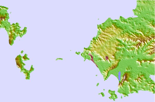
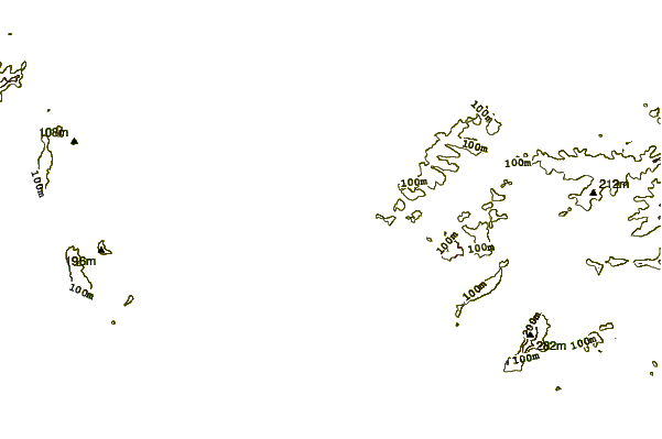
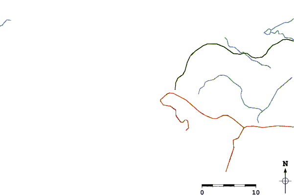
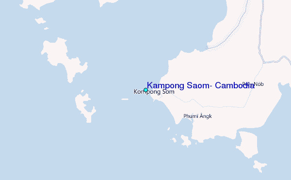
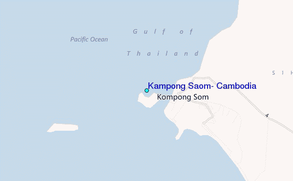
Use this relief map to navigate to tide stations, surf breaks and cities that are in the area of Kampong Saom, Cambodia.
Other Nearby Locations' tide tables and tide charts to Kampong Saom, Cambodia:
click location name for more details
 Surf breaks close to Kampong Saom, Cambodia:
|
||
|---|---|---|
| Closest surf break | Sihanoukville | 4 mi |
| Second closest surf break | Bamboo Island | 11 mi |
| Third closest surf break | Leam Sing | 160 mi |
| Fourth closest surf break | Aho Kahi Harbor Entrance | 186 mi |
| Fifth closest surf break | Mae Phim Beach (Rayong) | 188 mi |


 Nearest
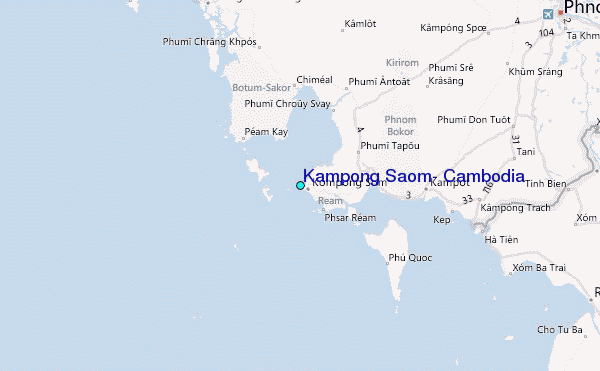