
| Distance / Altitude | Location | Report Date / Time | Live Weather | Wind | Gusts | Temp. | Visibility | Cloud |
|---|---|---|---|---|---|---|---|---|
| 19 km ENE / 76 m | Kannur International Airport (India) | 2026-06-17 16:00 local (2026/06/17 10:30 GMT) | Dry and partly cloudy | light winds from the WNW (19 km/h at 290) | 27°C | 6.0 | scattered few broken | |
| 103 km SE / 104 m | Calicut Airport (India) | 2026-06-17 16:00 local (2026/06/17 10:30 GMT) | Dry and partly cloudy | light winds from the WSW (15 km/h at 240) | 27°C | 6.0 | scattered few broken | |
| 132 km NW / 103 m | Mangalore International Airport (Bajpe) (India) | 2026-06-17 16:00 local (2026/06/17 10:30 GMT) | Dry and partly cloudy | light winds from the WNW (19 km/h at 290) | 31°C | 8.0 | scattered scattered | |
| 151 km ENE / 767 m | Mysore (Mandakalli) Airport) (India) | 2026-06-17 16:00 local (2026/06/17 10:30 GMT) | Dry and partly cloudy | light winds from the NNW (7 km/h at 340) | 32°C | 8.0 | scattered scattered | |
| 204 km ESE / 399 m | Coimbatore International Airport-Peelamedu (India) | 2026-06-17 16:00 local (2026/06/17 10:30 GMT) | Dry and partly cloudy | moderate winds from the SW (26 km/h at 230) | 31°C | 6.0 | few few scattered | |
| 221 km SSE / 8 m | Cochin International (India) | 2026-06-17 16:00 local (2026/06/17 10:30 GMT) | Dry and partly cloudy | light winds from the NW (13 km/h at 320) | 30°C | 6.0 | few scattered broken | |
| 272 km ENE / 897 m | Bangalore Airport (India) | 2026-06-17 16:00 local (2026/06/17 10:30 GMT) | Dry and partly cloudy | light winds from the WNW (15 km/h at 300) | 31°C | 8.0 | scattered scattered | |
| 272 km ENE / 920 m | Balagiri (India) | 2026-06-17 16:30 local (2026/06/17 11:00 GMT) | - | moderate winds from the W (20 km/h at 275) | 30°C | - | - - 0 | |
| 291 km ENE / 915 m | Bengaluru Airport (India) | 2026-06-17 16:00 local (2026/06/17 10:30 GMT) | Dry and partly cloudy | light winds from the NNW (15 km/h at 330) | 30°C | 10.0 | few scattered | |
| 293 km E / 307 m | Salem Airport (India) | 2026-06-17 16:00 local (2026/06/17 10:30 GMT) | Dry and partly cloudy | wind obs. (6 kph from 330 degs) was rejected (- km/h at -) | 35°C | 7.0 | few scattered |
| Contours: | Roads & Rivers: | Select a
tide station / surf break / city |
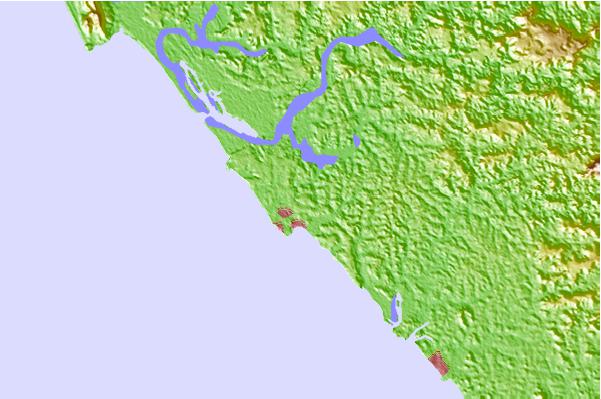
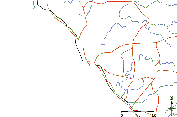
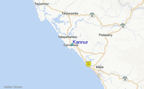
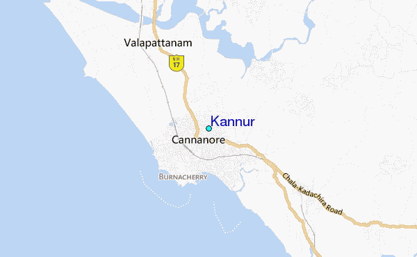
Use this relief map to navigate to tide stations, surf breaks and cities that are in the area of Kannur.
Other Nearby Locations' tide tables and tide charts to Kannur:
click location name for more details
 Surf breaks close to Kannur:
|
||
|---|---|---|
| Closest surf break | Kaup Beach | 103 mi |
| Second closest surf break | Maravanthe Beach | 136 mi |
| Third closest surf break | Murudeshwara Beach | 165 mi |
| Fourth closest surf break | Om Beach (Gokarna) | 196 mi |
| Fifth closest surf break | Kudle -Beach (Gokarna) | 196 mi |


 Nearest
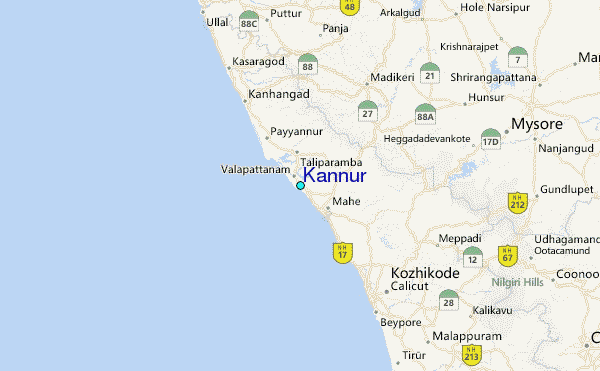