
| Distance / Altitude | Location | Report Date / Time | Live Weather | Wind | Gusts | Temp. | Visibility | Cloud |
|---|---|---|---|---|---|---|---|---|
| 42 km SW / 15 m | ASCATC157E7S (Marine) | 2024-07-27 09:44 local (2024/07/26 22:44 GMT) | light winds from the SSE (16 km/h at 157) | — | - km | |||
| 80 km WNW / 3 m | Taro Island (Solomon Islands) | 2024-07-27 11:00 local (2024/07/27 00:00 GMT) | Light rain showers | calm (0 km/h at 0) | 28°C | 10 km | - overcast - | |
| 98 km SW / 15 m | ASCATC156E7S (Marine) | 2024-07-27 09:44 local (2024/07/26 22:44 GMT) | fresh winds from the SSE (37 km/h at 161) | — | - km | |||
| 106 km NW / 15 m | ASCATC157E6S (Marine) | 2024-07-27 09:44 local (2024/07/26 22:44 GMT) | moderate winds from the S (20 km/h at 182) | — | - km | |||
| 122 km WNW / 15 m | ASCATC156E6S (Marine) | 2024-07-27 09:44 local (2024/07/26 22:44 GMT) | light winds from the S (16 km/h at 181) | — | - km | |||
| 132 km SSE / 6 m | Munda-New Georgia (Solomon Islands) | 2024-07-27 11:00 local (2024/07/27 00:00 GMT) | Distant precipitation but not falling at station | light winds from the ESE (11 km/h at 110) | 28°C | 4 km | - overcast - | |
| 194 km NW / 15 m | ASCATC157E5S (Marine) | 2024-07-27 09:44 local (2024/07/26 22:44 GMT) | moderate winds from the S (21 km/h at 178) | — | - km | |||
| 195 km SSW / 15 m | ASCATC156E8S (Marine) | 2024-07-27 09:45 local (2024/07/26 22:45 GMT) | strong winds from the SE (40 km/h at 137) | — | - km | |||
| 200 km S / 15 m | ASCATC157E9S (Marine) | 2024-07-27 09:45 local (2024/07/26 22:45 GMT) | fresh winds from the SE (38 km/h at 140) | — | - km | |||
| 238 km WNW / 15 m | ASCATC156E5S (Marine) | 2024-07-27 09:44 local (2024/07/26 22:44 GMT) | light winds from the S (13 km/h at 182) | — | - km |
| Contours: | Roads & Rivers: | Select a
tide station / surf break / city |
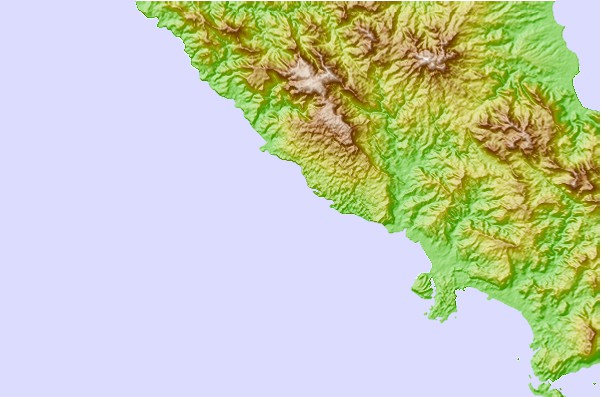
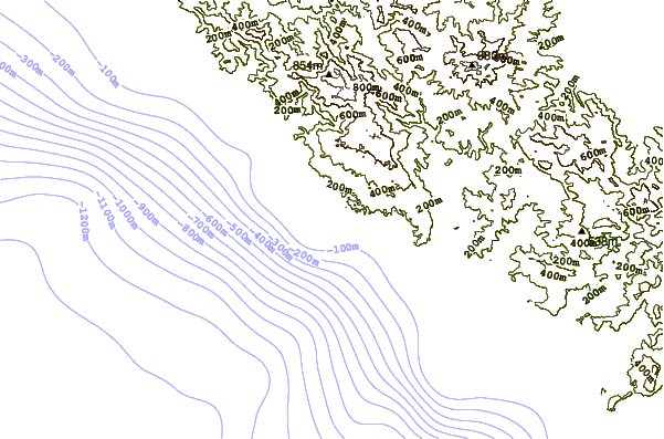
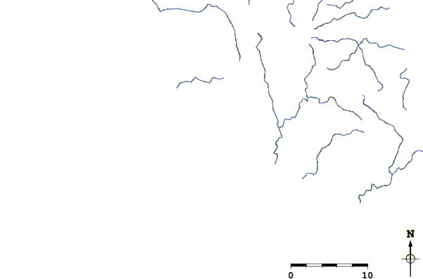
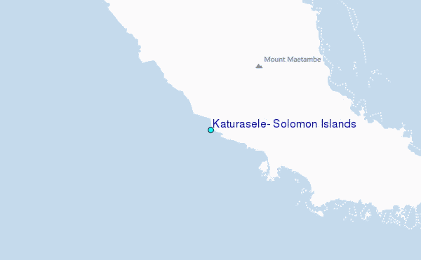
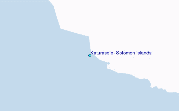
Use this relief map to navigate to tide stations, surf breaks and cities that are in the area of Katurasele, Solomon Islands.
Other Nearby Locations' tide tables and tide charts to Katurasele, Solomon Islands:
click location name for more details
 Surf breaks close to Katurasele, Solomon Islands:
|
||
|---|---|---|
| Closest surf break | Pailongge | 62 mi |
| Second closest surf break | Titiana | 63 mi |
| Third closest surf break | Makuti | 66 mi |
| Fourth closest surf break | Despretes | 79 mi |
| Fifth closest surf break | Skull Island | 80 mi |

 Nearest
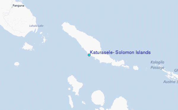