
| Distance / Altitude | Location | Report Date / Time | Live Weather | Wind | Gusts | Temp. | Visibility | Cloud |
|---|---|---|---|---|---|---|---|---|
| 123 km SSE / 217 m | Saint Marys Airport (Alaska) | 2026-04-03 20:56 local (2026/04/04 04:56 GMT) | Dry and cloudy | light winds from the NW (11 km/h at 320) | -8°C | 16 | overcast | |
| 128 km ENE / 28 m | Saint-Michael Airport (Alaska) (Alaska) | 2026-04-03 20:56 local (2026/04/04 04:56 GMT) | Clear | calm (0 km/h at 0) | -9°C | 16 | ||
| 161 km S / 581 m | Cape Romanzof Airport (Alaska) | 2026-04-03 20:55 local (2026/04/04 04:55 GMT) | Light snow | calm (0 km/h at 0) | -8°C | 16 | broken | |
| 169 km NW / 3 m | BUOY-NMXA2 (Marine) | 2026-04-03 22:02 local (2026/04/04 06:02 GMT) | light winds from the E (9 km/h at 80) | -7°C | - | |||
| 170 km NW / 3 m | BUOY-NMTA2 (Marine) | 2026-04-03 21:48 local (2026/04/04 05:48 GMT) | light winds from the E (8 km/h at 100) | — | - | |||
| 170 km NW / 214 m | Nome Airport (Alaska) | 2026-04-03 20:53 local (2026/04/04 04:53 GMT) | Light snow | wind obs. (9 kph from 110 degs) was rejected (- km/h at -) | -7°C | 6 | few overcast | |
| 177 km S / 23 m | Chevak Airport (Alaska) | 2026-04-03 21:43 local (2026/04/04 05:43 GMT) | Light snow | light winds from the NNW (11 km/h at 340) | -7°C | 6 | broken overcast | |
| 177 km NW / 11 m | Nome (Alaska) | 2026-04-03 22:01 local (2026/04/04 06:01 GMT) | - | calm (0 km/h at 0) | -8°C | - | - - 0 | |
| 178 km NW / 16 m | Nome (Alaska) | 2026-04-03 21:46 local (2026/04/04 05:46 GMT) | - | calm (0 km/h at 145) | -7°C | - | - - 0 | |
| 181 km SE / 31 m | Marshall (Alaska) | 2026-04-03 20:56 local (2026/04/04 04:56 GMT) | Dry and cloudy | calm (0 km/h at 0) | -7°C | 16 | overcast |

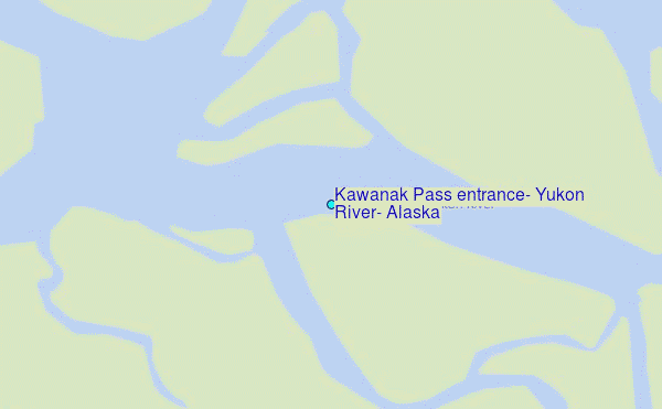
Choose Kawanak Pass entrance, Yukon River, Alaska Location Map Zoom:
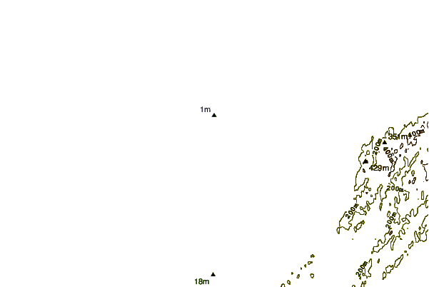
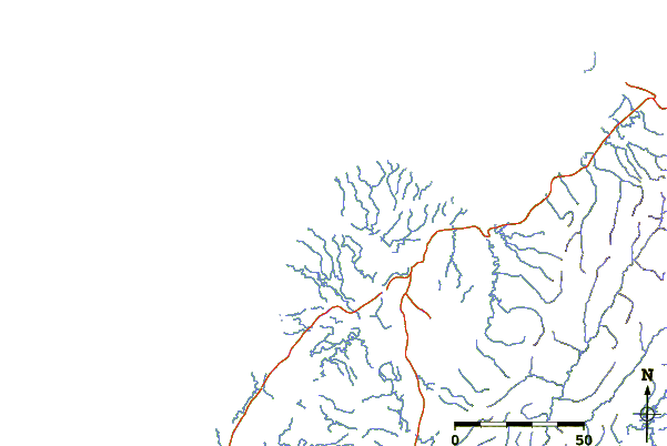
| Contours: | Roads & Rivers: | Select a
tide station / surf break / city |
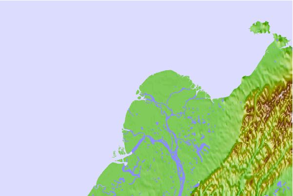
Use this relief map to navigate to tide stations, surf breaks and cities that are in the area of Kawanak Pass entrance, Yukon River, Alaska.
Other Nearby Locations' tide tables and tide charts to Kawanak Pass entrance, Yukon River, Alaska:
click location name for more details
 Surf breaks close to Kawanak Pass entrance, Yukon River, Alaska:
|
||
|---|---|---|
| Closest surf break | Bird Point (Tidal Bore) | 454 mi |
| Second closest surf break | Termination Point | 544 mi |
| Third closest surf break | Monashka Bay | 544 mi |
| Fourth closest surf break | Mill Bay | 547 mi |
| Fifth closest surf break | Fossil Beach Kodiak | 567 mi |


 Nearest
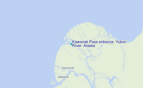