
| Distance / Altitude | Location | Report Date / Time | Live Weather | Wind | Gusts | Temp. | Visibility | Cloud |
|---|---|---|---|---|---|---|---|---|
| 2 km S / 11 m | Hazlet (New Jersey) | 2026-04-12 07:12 local (2026/04/12 11:12 GMT) | - | - (- km/h at ) | — | - | - - 0 | |
| 12 km ENE / 3 m | BUOY-SDHN4 (Marine) | 2026-04-12 07:00 local (2026/04/12 11:00 GMT) | light winds from the ENE (9 km/h at 60) | 7°C | - | |||
| 21 km NE / 15 m | SHIP2243 (Marine) | 2026-04-12 07:00 local (2026/04/12 11:00 GMT) | - (- km/h at -) | — | - km | |||
| 21 km NW / 7 m | Linden Airport (New jersey) | 2026-04-12 06:35 local (2026/04/12 10:35 GMT) | Clear | light winds from the E (6 km/h at 80) | 7°C | 16 | ||
| 21 km N / 3 m | BUOY-MHRN6 (Marine) | 2026-04-12 07:00 local (2026/04/12 11:00 GMT) | light winds from the NNE (13 km/h at 30) | — | - | |||
| 21 km NE / 15 m | SHIP3290 (Marine) | 2026-04-12 06:00 local (2026/04/12 10:00 GMT) | - (- km/h at -) | — | - km | |||
| 21 km NE / 15 m | SHIP7825 (Marine) | 2026-04-12 06:00 local (2026/04/12 10:00 GMT) | - (- km/h at -) | — | - km | |||
| 21 km NE / 3 m | SHIP5437 (Marine) | 2026-04-12 06:00 local (2026/04/12 10:00 GMT) | - (- km/h at -) | 8°C | - | |||
| 21 km NW / 7 m | Linden Airport (New jersey) | 2026-04-12 06:35 local (2026/04/12 10:35 GMT) | Clear | light winds from the E (6 km/h at 80) | 7°C | 16 | ||
| 21 km NE / 3 m | SHIP2071 (Marine) | 2026-04-12 07:00 local (2026/04/12 11:00 GMT) | - (- km/h at -) | 9°C | - |
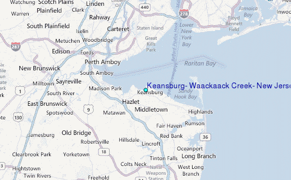
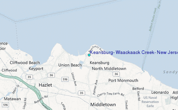
Choose Keansburg, Waackaack Creek, New Jersey Location Map Zoom:
| Contours: | Roads & Rivers: | Select a
tide station / surf break / city |
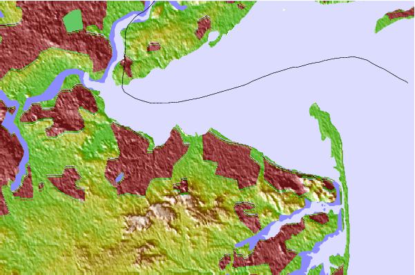
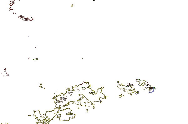
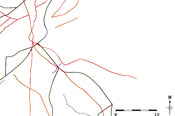
Use this relief map to navigate to tide stations, surf breaks and cities that are in the area of Keansburg, Waackaack Creek, New Jersey.
Other Nearby Locations' tide tables and tide charts to Keansburg, Waackaack Creek, New Jersey:
click location name for more details
 Surf breaks close to Keansburg, Waackaack Creek, New Jersey:
|
||
|---|---|---|
| Closest surf break | 1st Parking Lot | 9 mi |
| Second closest surf break | Sandy Hook/The Cove | 9 mi |
| Third closest surf break | The Cove at Sandy Hook | 9 mi |
| Fourth closest surf break | Sands | 11 mi |
| Fifth closest surf break | 7 Presidents Street Park | 12 mi |


 Nearest
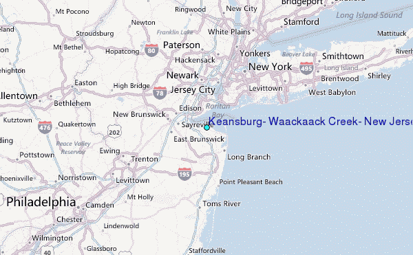