
| Distance / Altitude | Location | Report Date / Time | Live Weather | Wind | Gusts | Temp. | Visibility | Cloud |
|---|---|---|---|---|---|---|---|---|
| 7 km SSW / 218 m | Newark Airport (New Jersey) | 2026-03-21 19:51 local (2026/03/21 23:51 GMT) | Dry and partly cloudy | moderate winds from the NNW (20 km/h at 340) | 13°C | 16 | few broken broken | |
| 9 km SSE / 3 m | BUOY-ROBN4 (Marine) | 2026-03-21 20:48 local (2026/03/22 00:48 GMT) | light winds from the ENE (18 km/h at 70) | — | - | |||
| 10 km ESE / 3 m | BUOY-BATN6 (Marine) | 2026-03-21 20:48 local (2026/03/22 00:48 GMT) | - (- km/h at -) | — | - | |||
| 11 km S / 3 m | BUOY-MHRN6 (Marine) | 2026-03-21 20:48 local (2026/03/22 00:48 GMT) | light winds from the E (11 km/h at 100) | — | - | |||
| 14 km ENE / 219 m | New Your City/Central Park Airport (New York) | 2026-03-21 19:51 local (2026/03/21 23:51 GMT) | Clear | light winds from the N (7 km/h at 1) | 11°C | 16 | ||
| 16 km NNE / 215 m | Teterboro Airport (New Jersey) | 2026-03-21 19:51 local (2026/03/21 23:51 GMT) | Clear | light winds from the NNE (11 km/h at 30) | 11°C | 16 | ||
| 20 km NW / 43 m | West Paterson (New Jersey) | 2026-03-21 20:21 local (2026/03/22 00:21 GMT) | - | calm (0 km/h at 174) | — | - | - - 0 | |
| 21 km ENE / 218 m | New York City La Guardia Airport (New York) | 2026-03-21 19:51 local (2026/03/21 23:51 GMT) | - | light winds from the E (13 km/h at 80) | 10°C | 16 | few few broken | |
| 22 km WNW / 218 m | Caldwell Airport (New Jersey) | 2026-03-21 19:53 local (2026/03/21 23:53 GMT) | Clear | light winds from the N (6 km/h at 1) | 11°C | 16 | ||
| 26 km W / 174 m | Morristown Municipal Airport (New Jersey) | 2026-03-21 19:45 local (2026/03/21 23:45 GMT) | - | light winds from the N (9 km/h at 10) | — | 16 |
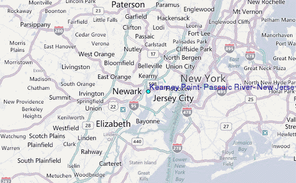
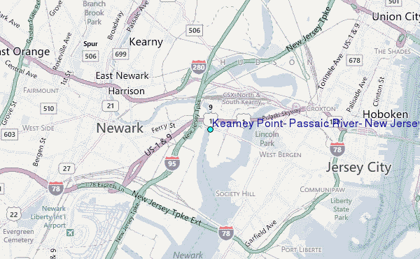
Choose Kearney Point, Passaic River, New Jersey Location Map Zoom:
| Contours: | Roads & Rivers: | Select a
tide station / surf break / city |
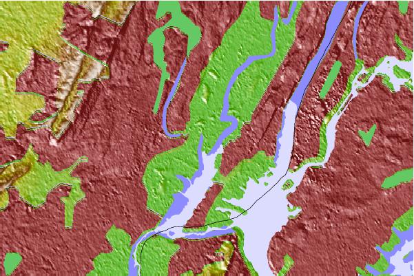
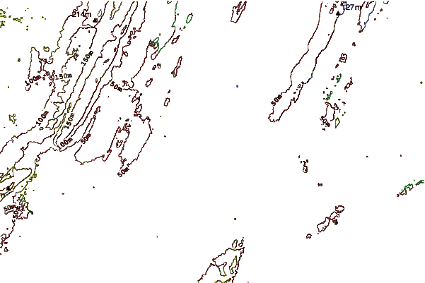
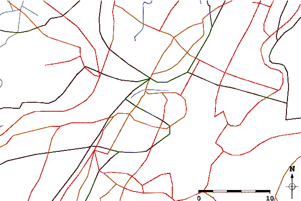
Use this relief map to navigate to tide stations, surf breaks and cities that are in the area of Kearney Point, Passaic River, New Jersey.
Other Nearby Locations' tide tables and tide charts to Kearney Point, Passaic River, New Jersey:
click location name for more details
 Surf breaks close to Kearney Point, Passaic River, New Jersey:
|
||
|---|---|---|
| Closest surf break | Rockaway | 17 mi |
| Second closest surf break | 92nd Street | 19 mi |
| Third closest surf break | The Cove at Sandy Hook | 21 mi |
| Fourth closest surf break | 1st Parking Lot | 22 mi |
| Fifth closest surf break | Jones Beach | 22 mi |


 Nearest
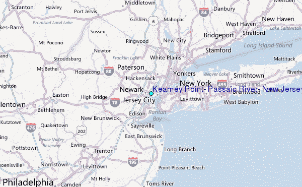