
| Distance / Altitude | Location | Report Date / Time | Live Weather | Wind | Gusts | Temp. | Visibility | Cloud |
|---|---|---|---|---|---|---|---|---|
| 205 km SSW / 0 m | lightning 192km SW of Panguna (Papua New Guinea) | 2025-12-25 20:00 local (2025/12/25 09:00 GMT) | Thunderstorm | (- km/h at -) | — | |||
| 297 km SE / 6 m | Munda-New Georgia (Solomon Islands) | 2025-12-25 17:00 local (2025/12/25 06:00 GMT) | distant precipitation but not falling at station | - (- km/h at -) | 25°C | 4000 | - - - | |
| 321 km SSE / 0 m | lightning 90km S of Gizo (Solomon Islands) | 2025-12-25 17:46 local (2025/12/25 06:46 GMT) | Thunderstorm | (- km/h at -) | — | |||
| 411 km SE / 2 m | Penrhyn Island (Samoa) | 2025-12-25 18:00 local (2025/12/25 07:00 GMT) | - | light winds from the N (9 km/h at 350) | 27°C | |||
| 603 km SE / 484 m | Honiara/Henderson Airport (Solomon Islands) | 2025-12-25 19:00 local (2025/12/25 08:00 GMT) | - | wind obs. (11 kph from 250 degs) was rejected (- km/h at -) | — | 10.0 | few few scattered | |
| 606 km SE / 0 m | lightning 108km SW of Honiara (Solomon Islands) | 2025-12-25 18:20 local (2025/12/25 07:20 GMT) | Thunderstorm | (- km/h at -) | — | |||
| 613 km WSW / 699 m | lightning 36km S of Kimbe (Papua New Guinea) | 2025-12-25 19:50 local (2025/12/25 08:50 GMT) | Thunderstorm | (- km/h at -) | — | |||
| 629 km WSW / 6 m | lightning 45km ENE of Kandrian (Papua New Guinea) | 2025-12-25 19:48 local (2025/12/25 08:48 GMT) | Thunderstorm | (- km/h at -) | — | |||
| 631 km ESE / 11 m | Auki (Solomon Islands) | 2025-12-25 17:00 local (2025/12/25 06:00 GMT) | distant precipitation but not falling at station | calm (4 km/h at 90) | — | 10 | - | |
| 669 km WNW / 4 m | Kavieng W.o. (Papua New Guinea) | 2025-12-25 17:00 local (2025/12/25 06:00 GMT) | no report | wind obs. (22 kph from 180 degs) was rejected (- km/h at -) | 30°C | 30 | - |
| Contours: | Roads & Rivers: | Select a
tide station / surf break / city |
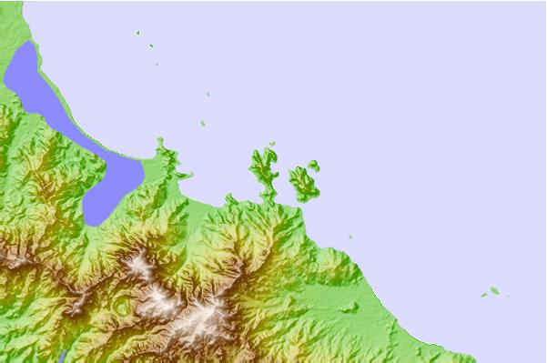
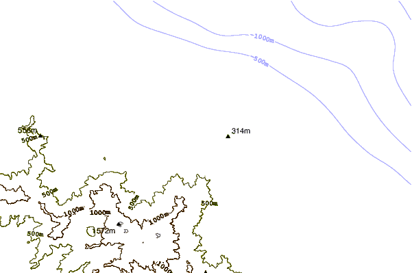
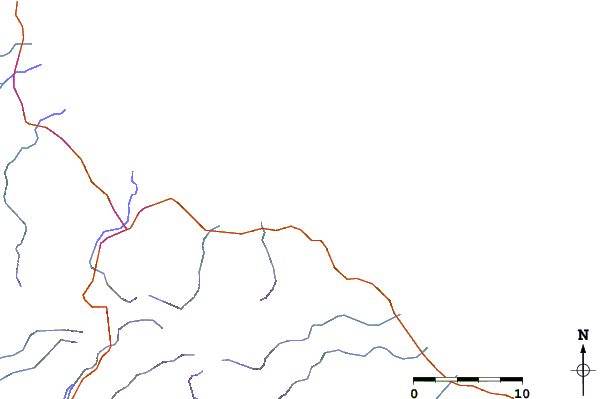
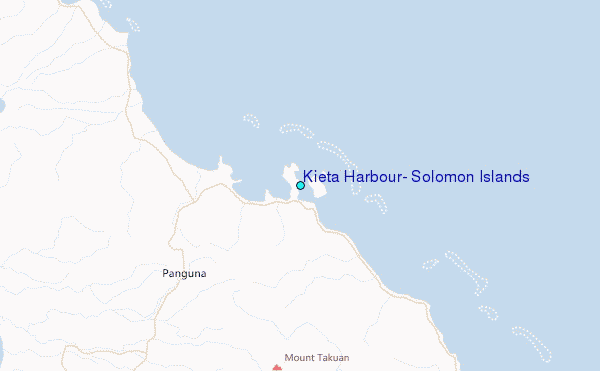
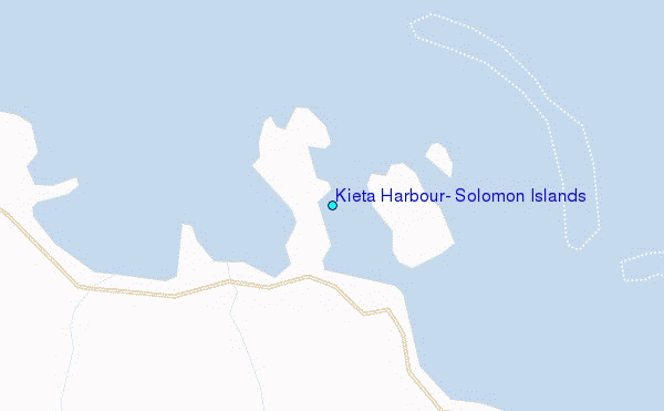
Use this relief map to navigate to tide stations, surf breaks and cities that are in the area of Kieta Harbour, Solomon Islands.
Other Nearby Locations' tide tables and tide charts to Kieta Harbour, Solomon Islands:
click location name for more details
 Surf breaks close to Kieta Harbour, Solomon Islands:
|
||
|---|---|---|
| Closest surf break | Pailongge | 154 mi |
| Second closest surf break | Titiana | 155 mi |
| Third closest surf break | Makuti | 163 mi |
| Fourth closest surf break | Despretes | 178 mi |
| Fifth closest surf break | Skull Island | 180 mi |


 Nearest
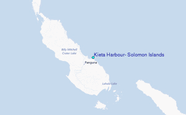