
| Distance / Altitude | Location | Report Date / Time | Live Weather | Wind | Gusts | Temp. | Visibility | Cloud |
|---|---|---|---|---|---|---|---|---|
| 30 km SW / 3 m | BUOY-NKLA2 (Marine) | 2026-06-30 11:32 local (2026/06/30 19:32 GMT) | light winds from the S (13 km/h at 190) | 8°C | - | |||
| 32 km SW / 3 m | BUOY-OLSA2 (Marine) | 2026-06-30 11:00 local (2026/06/30 19:00 GMT) | light winds from the SW (17 km/h at 230) | 10°C | - | |||
| 151 km NE / 3 m | BUOY-CPXA2 (Marine) | 2026-06-30 11:32 local (2026/06/30 19:32 GMT) | light winds from the NNW (9 km/h at 340) | 15°C | - | |||
| 156 km NE / 3 m | BUOY-DPLA2 (Marine) | 2026-06-30 11:32 local (2026/06/30 19:32 GMT) | calm (4 km/h at 240) | 15°C | - | |||
| 156 km NE / 3 m | BUOY-UNLA2 (Marine) | 2026-06-30 11:00 local (2026/06/30 19:00 GMT) | light winds from the NNW (8 km/h at 340) | — | - | |||
| 157 km NE / 3 m | BUOY-DPXA2 (Marine) | 2026-06-30 11:32 local (2026/06/30 19:32 GMT) | calm (5 km/h at 280) | 14°C | - | |||
| 158 km NE / 209 m | Dutch Harbor Airport (Alaska) | 2026-06-30 10:13 local (2026/06/30 18:13 GMT) | Dry and cloudy | light winds from the S (11 km/h at 170) | 13°C | 16 | few scattered overcast | |
| 213 km NE / 3 m | BUOY-AKXA2 (Marine) | 2026-06-30 11:32 local (2026/06/30 19:32 GMT) | light winds from the WNW (17 km/h at 300) | 10°C | - | |||
| 239 km SE / 15 m | SHIP1983 (Marine) | 2026-06-30 11:00 local (2026/06/30 19:00 GMT) | strong winds from the SW (40.68000000000001 km/h at 220) | — | - km | |||
| 239 km SE / 15 m | SHIP3584 (Marine) | 2026-06-30 11:00 local (2026/06/30 19:00 GMT) | strong winds from the SW (40.68000000000001 km/h at 220) | — | - km |
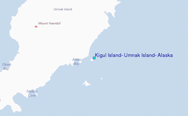
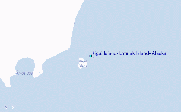
Choose Kigul Island, Umnak Island, Alaska Location Map Zoom:
| Contours: | Roads & Rivers: | Select a
tide station / surf break / city |
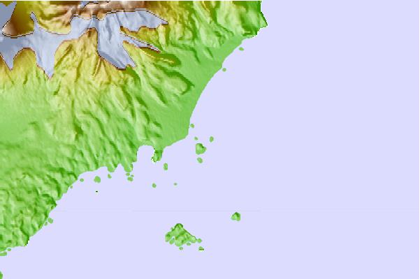
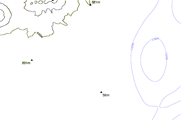
Use this relief map to navigate to tide stations, surf breaks and cities that are in the area of Kigul Island, Umnak Island, Alaska.
Other Nearby Locations' tide tables and tide charts to Kigul Island, Umnak Island, Alaska:
click location name for more details
 Surf breaks close to Kigul Island, Umnak Island, Alaska:
|
||
|---|---|---|
| Closest surf break | Fossil Beach Kodiak | 700 mi |
| Second closest surf break | Monashka Bay | 707 mi |
| Third closest surf break | Termination Point | 709 mi |
| Fourth closest surf break | Mill Bay | 709 mi |
| Fifth closest surf break | Bird Point (Tidal Bore) | 830 mi |


 Nearest
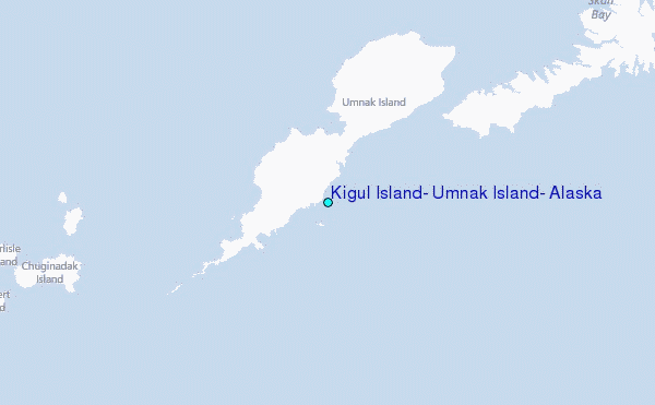