
| Distance / Altitude | Location | Report Date / Time | Live Weather | Wind | Gusts | Temp. | Visibility | Cloud |
|---|---|---|---|---|---|---|---|---|
| 195 km WSW / 239 m | lightning 133km N of Finschhafen (Papua New Guinea) | 2026-04-05 15:46 local (2026/04/05 05:46 GMT) | Thunderstorm | (- km/h at -) | — | |||
| 397 km NE / 3 m | SHIP8804 (Marine) | 2026-04-05 14:00 local (2026/04/05 04:00 GMT) | near gales from the W (52 km/h at 270) | 29°C | 20.4 | |||
| 647 km SE / 0 m | lightning (Solomon Islands) | 2026-04-05 13:45 local (2026/04/05 03:45 GMT) | Thunderstorm | (- km/h at -) | — | |||
| 724 km WSW / 2744 m | lightning 16km W of Wabag (Papua New Guinea) | 2026-04-05 14:15 local (2026/04/05 04:15 GMT) | Thunderstorm | (- km/h at -) | — | |||
| 898 km W / 3 m | Aitape (Papua-New Guinea) | 2026-04-05 15:00 local (2026/04/05 05:00 GMT) | - | light winds from the NW (6 km/h at 320) | 32°C | - | no observation | |
| 899 km W / 3 m | Aitape (Papua-New Guinea) | 2026-04-05 15:00 local (2026/04/05 05:00 GMT) | - | light winds from the NW (6 km/h at 320) | 32°C | - | no observation | |
| 924 km SW / 4 m | Coconut Island (Australia) | 2026-04-05 15:00 local (2026/04/05 05:00 GMT) | no report | - (- km/h at -) | 26°C | - | - | |
| 944 km SSE / 3 m | SHIP9294 (Marine) | 2026-04-05 15:00 local (2026/04/05 05:00 GMT) | near gales from the SSE (55 km/h at 150) | 29°C | 9.3 | |||
| 944 km SSE / 15 m | SHIP9783 (Marine) | 2026-04-05 15:00 local (2026/04/05 05:00 GMT) | near gales from the SSE (55.440000000000005 km/h at 150) | 23°C | 8.1 km | |||
| 962 km ESE / 2 m | Penrhyn Island (Samoa) | 2026-04-05 14:00 local (2026/04/05 04:00 GMT) | - | light winds from the W (9 km/h at 270) | 29°C |
| Contours: | Roads & Rivers: | Select a
tide station / surf break / city |
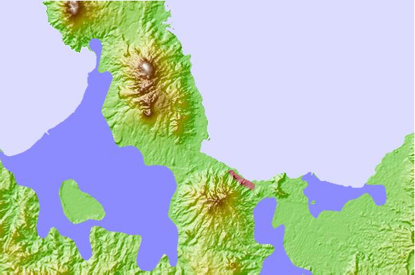
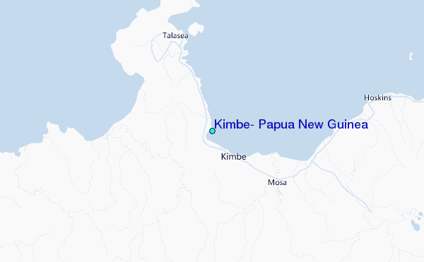
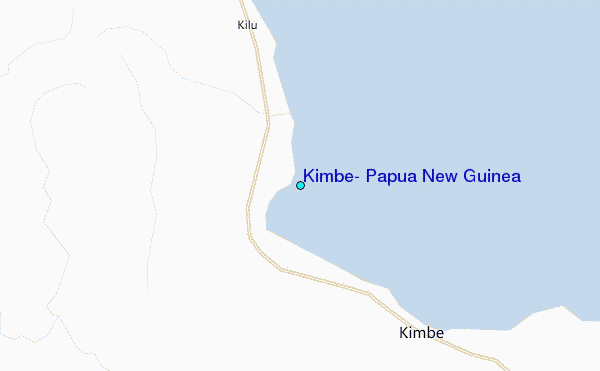
Use this relief map to navigate to tide stations, surf breaks and cities that are in the area of Kimbe, Papua New Guinea.
Other Nearby Locations' tide tables and tide charts to Kimbe, Papua New Guinea:
click location name for more details
 Surf breaks close to Kimbe, Papua New Guinea:
|
||
|---|---|---|
| Closest surf break | Raiven | 174 mi |
| Second closest surf break | Duke of York | 185 mi |
| Third closest surf break | Edmago | 202 mi |
| Fourth closest surf break | Rubio | 203 mi |
| Fifth closest surf break | Nago | 206 mi |


 Nearest
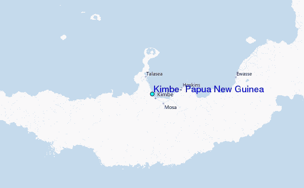