
| Distance / Altitude | Location | Report Date / Time | Live Weather | Wind | Gusts | Temp. | Visibility | Cloud |
|---|---|---|---|---|---|---|---|---|
| 7 km ESE / 41 m | Argyle International Airport (Saint Vincent and the Grenadines) | 2026-03-23 19:00 local (2026/03/23 23:00 GMT) | Dry and partly cloudy | wind obs. (11 kph from 30 degs) was rejected (- km/h at -) | 26°C | 10.0 | few scattered | |
| 71 km NNE / 188 m | Hewanorra International Airport (Lesser Antilles) | 2026-03-23 20:00 local (2026/03/24 00:00 GMT) | Dry and partly cloudy | light winds from the E (19 km/h at 80) | 25°C | 10.0 | few scattered | |
| 71 km NNE / 10 m | HewanorraIntl Airport (Saint Lucia) | 2026-03-23 20:00 local (2026/03/24 00:00 GMT) | Rain showers | light winds from the E (19 km/h at 80) | 25°C | 44 km | - scattered - | |
| 97 km NNE / 348 m | George F. L. Charles Airport/Vigie/St Lucia (Lesser Antilles) | 2026-03-23 20:00 local (2026/03/24 00:00 GMT) | Dry and partly cloudy | light winds from the ESE (9 km/h at 110) | 26°C | 10.0 | scattered | |
| 97 km NNE / 2 m | GeorgeF.l.Charles Airport (Saint Lucia) | 2026-03-23 20:00 local (2026/03/24 00:00 GMT) | Haze | light winds from the ESE (9 km/h at 110) | 26°C | 49 km | scattered | |
| 143 km S / 167 m | Point Salines Airport (Grenada) | 2026-03-23 21:00 local (2026/03/24 01:00 GMT) | Widespread dust in suspension not raised by wind | moderate winds from the ESE (22 km/h at 110) | 27°C | 10.0 | few few - | |
| 148 km N / 3 m | SHIP9280 (Marine) | 2026-03-23 21:00 local (2026/03/24 01:00 GMT) | - (- km/h at -) | 25°C | - | |||
| 148 km N / 3 m | SHIP7721 (Marine) | 2026-03-23 21:00 local (2026/03/24 01:00 GMT) | - (- km/h at -) | 25°C | - | |||
| 160 km N / 8 m | Lamentin -Aero (France) | 2026-03-23 20:00 local (2026/03/24 00:00 GMT) | no report | wind obs. (14 kph from 160 degs) was rejected (- km/h at -) | 27°C | 10 | - | |
| 160 km N / 214 m | Le Lamentin/Martinique Aimé Césaire International Airport (Lesser Antilles) | 2026-03-23 20:30 local (2026/03/24 00:30 GMT) | - | light winds from the N (6 km/h at 1) | — | 10.0 |
| Contours: | Roads & Rivers: | Select a
tide station / surf break / city |
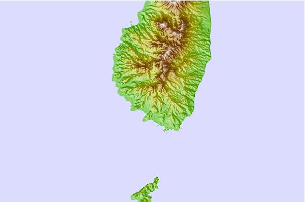
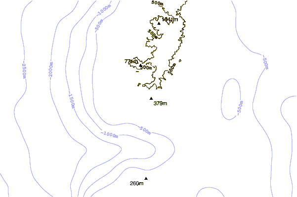
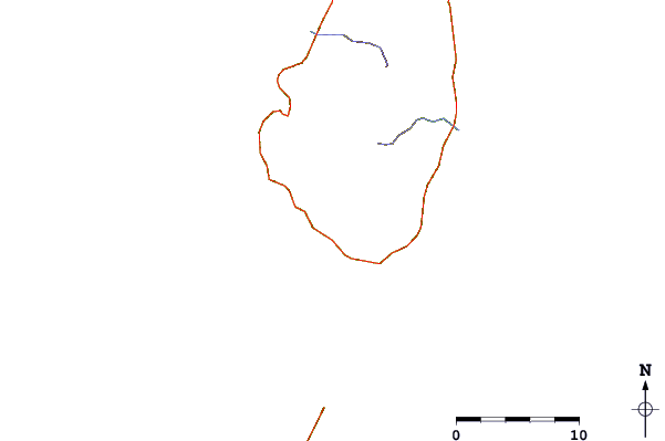
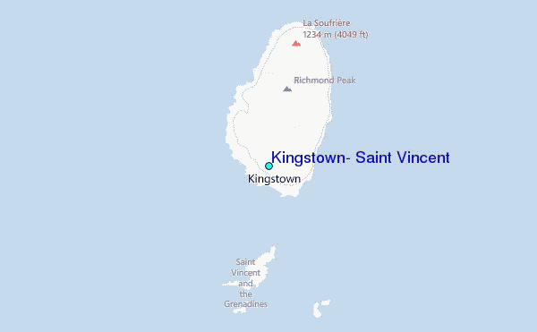
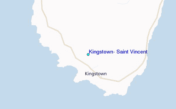
Use this relief map to navigate to tide stations, surf breaks and cities that are in the area of Kingstown, Saint Vincent.
Other Nearby Locations' tide tables and tide charts to Kingstown, Saint Vincent:
click location name for more details
 Surf breaks close to Kingstown, Saint Vincent:
|
||
|---|---|---|
| Closest surf break | Commaret Point | 67 mi |
| Second closest surf break | Pigeon Point | 67 mi |
| Third closest surf break | Cherry Hill | 85 mi |
| Fourth closest surf break | Anse Trabaud | 89 mi |
| Fifth closest surf break | Anse Cafard | 90 mi |


 Nearest
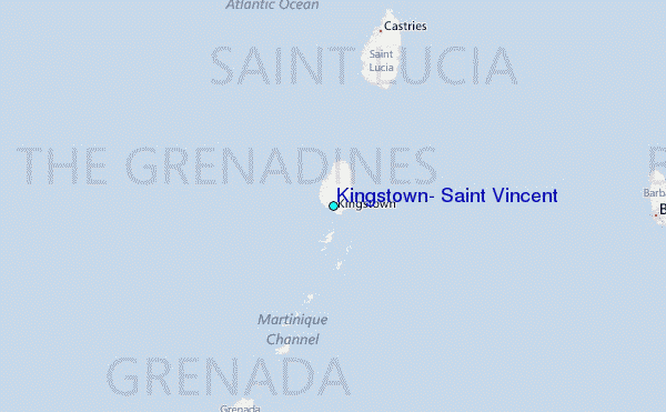