
| Distance / Altitude | Location | Report Date / Time | Live Weather | Wind | Gusts | Temp. | Visibility | Cloud |
|---|---|---|---|---|---|---|---|---|
| 185 km ESE / 3 m | Western Aleutians Buoy (Marine) | 2026-05-06 08:50 local (2026/05/06 17:50 GMT) | - (22 km/h at -) | — | - | |||
| 247 km W / 218 m | Eareckson/Shemya Airport (Alaska) | 2026-05-06 07:55 local (2026/05/06 16:55 GMT) | Mist - | moderate winds from the WSW (22 km/h at 240) | 4°C | 6 | broken broken | |
| 357 km SSE / 3 m | SHIP9092 (Marine) | 2026-05-06 09:00 local (2026/05/06 18:00 GMT) | moderate winds from the W (25 km/h at 280) | 5°C | - | |||
| 373 km NW / 3 m | BUOY-46070 (Marine) | 2026-05-06 08:50 local (2026/05/06 17:50 GMT) | - (- km/h at -) | — | - | |||
| 398 km E / 506 m | Adak Naval Air Station Airport (Alaska) | 2026-05-06 07:56 local (2026/05/06 16:56 GMT) | Light rain | moderate winds from the ESE (22 km/h at 110) | 3°C | 16 | scattered overcast | |
| 390 km S / 15 m | SHIP7752 (Marine) | 2026-05-06 08:00 local (2026/05/06 17:00 GMT) | moderate winds from the S (27.720000000000002 km/h at 180) | 2°C | - km | |||
| 399 km E / 506 m | Adak Naval Air Station Airport (Alaska) | 2026-05-06 07:56 local (2026/05/06 16:56 GMT) | Light rain | moderate winds from the ESE (22 km/h at 110) | 3°C | 16 | scattered overcast | |
| 400 km E / 3 m | BUOY-ADKA2 (Marine) | 2026-05-06 08:48 local (2026/05/06 17:48 GMT) | light winds from the SE (15 km/h at 140) | — | - | |||
| 566 km E / 211 m | Atka Airport (Alaska) | 2026-05-06 07:56 local (2026/05/06 16:56 GMT) | Dry and cloudy | moderate winds from the E (26 km/h at 100) | 4°C | 16 | overcast | |
| 568 km E / 3 m | BUOY-ATKA2 (Marine) | 2026-05-06 08:48 local (2026/05/06 17:48 GMT) | light winds from the ESE (18 km/h at 120) | — | - |
Choose Kiska Harbor, Kiska Island, Rat Islands, Alaska Location Map Zoom:
| Contours: | Roads & Rivers: | Select a
tide station / surf break / city |
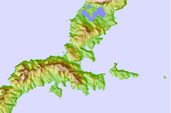
Use this relief map to navigate to tide stations, surf breaks and cities that are in the area of Kiska Harbor, Kiska Island, Rat Islands, Alaska.
Other Nearby Locations' tide tables and tide charts to Kiska Harbor, Kiska Island, Rat Islands, Alaska:
click location name for more details
 Surf breaks close to Kiska Harbor, Kiska Island, Rat Islands, Alaska:
|
||
|---|---|---|
| Closest surf break | Khalaktyrsky Beach | 787 mi |
| Second closest surf break | Monashka Bay | 1247 mi |
| Third closest surf break | Fossil Beach Kodiak | 1248 mi |
| Fourth closest surf break | Termination Point | 1249 mi |
| Fifth closest surf break | Mill Bay | 1250 mi |


 Nearest