
| Distance / Altitude | Location | Report Date / Time | Live Weather | Wind | Gusts | Temp. | Visibility | Cloud |
|---|---|---|---|---|---|---|---|---|
| 286 km SSW / 6 m | Lamu Manda Island (Kenya) | 2025-12-24 14:00 local (2025/12/24 11:00 GMT) | - | calm (0 km/h at 0) | 33°C | 10.0 | few | |
| 326 km WSW / 147 m | Garissa Airport (Kenya) | 2025-12-24 14:00 local (2025/12/24 11:00 GMT) | Dry and partly cloudy | calm (0 km/h at 0) | 35°C | 10.0 | broken | |
| 360 km WNW / 244 m | Wajir Airport (Kenya) | 2025-12-24 14:00 local (2025/12/24 11:00 GMT) | Dry and partly cloudy | light winds from the NE (9 km/h at 50) | 36°C | 10.0 | broken | |
| 408 km NE / 1 m | Mogadishu Airport (Somalia) | 2025-12-24 14:00 local (2025/12/24 11:00 GMT) | - | fresh winds from the E (31 km/h at 80) | 30°C | 10.0 | few | |
| 418 km SSW / 1 m | Malindi Airport (Kenya) | 2025-12-24 14:00 local (2025/12/24 11:00 GMT) | Dry and partly cloudy | moderate winds from the E (28 km/h at 90) | 31°C | 10.0 | scattered | |
| 520 km SSW / 179 m | Mombasa-Moi International Airport (Kenya) | 2025-12-24 14:30 local (2025/12/24 11:30 GMT) | Dry and partly cloudy | moderate winds from the ENE (28 km/h at 70) | 33°C | 10.0 | scattered scattered broken | |
| 548 km WSW / 1554 m | Meru Airport (Kenya) | 2025-12-24 14:00 local (2025/12/24 11:00 GMT) | Dry and partly cloudy | calm (0 km/h at 0) | 24°C | 10.0 | broken | |
| 567 km WSW / 1493 m | Embu Airport (Kenya) | 2025-12-24 14:00 local (2025/12/24 11:00 GMT) | Dry and partly cloudy | light winds from the E (9 km/h at 90) | 24°C | 10.0 | scattered | |
| 635 km WSW / 1624 m | Nairobi/Jomo Kenyatta Airport (Kenya) | 2025-12-24 14:00 local (2025/12/24 11:00 GMT) | Dry and partly cloudy | moderate winds from the NE.(Wind varies from 350 to 090 degs) (24 km/h at 50) | 26°C | 10.0 | scattered | |
| 647 km WSW / 1685 m | Nairobi Wilson Airport (Kenya) | 2025-12-24 14:00 local (2025/12/24 11:00 GMT) | Dry and partly cloudy | light winds from the NE (19 km/h at 50) | 26°C | 10.0 | broken - - |
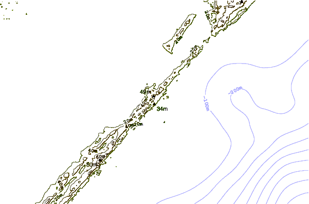
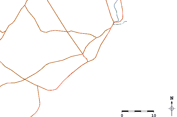
| Contours: | Roads & Rivers: | Select a
tide station / surf break / city |
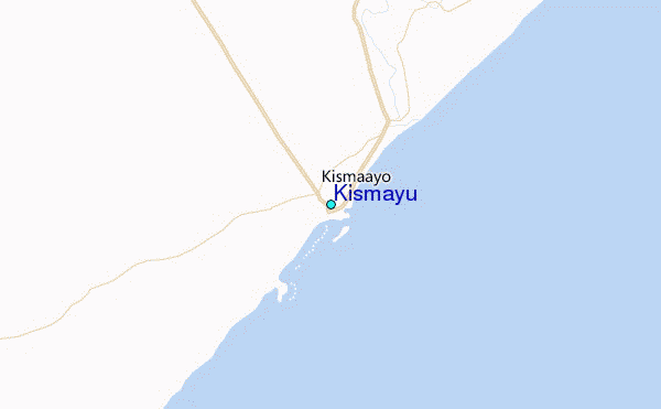
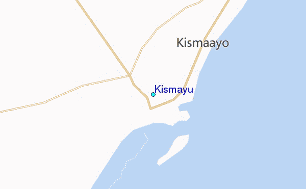
Use this relief map to navigate to tide stations, surf breaks and cities that are in the area of Kismayu.
Other Nearby Locations' tide tables and tide charts to Kismayu:
click location name for more details
 Surf breaks close to Kismayu:
|
||
|---|---|---|
| Closest surf break | Malindi Bay | 258 mi |
| Second closest surf break | Watamu Bay | 271 mi |
| Third closest surf break | Mombasa Channel | 325 mi |
| Fourth closest surf break | Nungwi Reefs | 433 mi |
| Fifth closest surf break | Jam's Right | 494 mi |


 Nearest
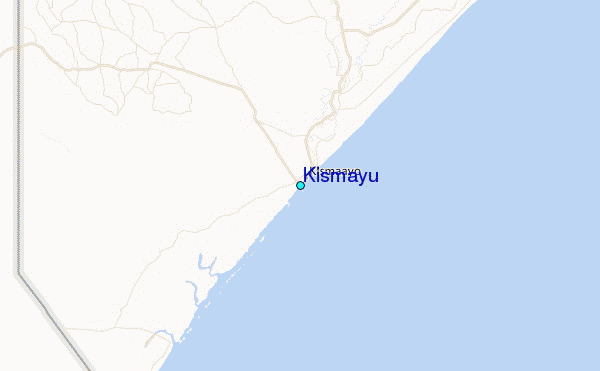