
| Distance / Altitude | Location | Report Date / Time | Live Weather | Wind | Gusts | Temp. | Visibility | Cloud |
|---|---|---|---|---|---|---|---|---|
| 37 km ESE / 217 m | Buckland Airport (Alaska) | 2026-04-01 07:56 local (2026/04/01 15:56 GMT) | Light snow | calm (0 km/h at 0) | -9°C | 0 | overcast | |
| 41 km WSW / 477 m | Deering Airport (Alaska) | 2026-04-01 08:40 local (2026/04/01 16:40 GMT) | - | light winds from the WSW (11 km/h at 250) | -8°C | 0.0 | ||
| 65 km NE / 217 m | Selawik Airport (Alaska) | 2026-04-01 08:36 local (2026/04/01 16:36 GMT) | - | light winds from the SW (6 km/h at 220) | 1°C | 0.0 | ||
| 85 km NNE / 17 m | Noorvik Airport (Alaska) | 2026-04-01 07:56 local (2026/04/01 15:56 GMT) | Fog freezing - | calm (0 km/h at 0) | -9°C | 0 | overcast | |
| 89 km NW / 214 m | Kotzebue Airport (Alaska) | 2026-04-01 07:53 local (2026/04/01 15:53 GMT) | Dry and cloudy | light winds from the S (7 km/h at 190) | -8°C | 16 | scattered overcast | |
| 91 km NW / 3 m | BUOY-KOZA2 (Marine) | 2026-04-01 09:32 local (2026/04/01 17:32 GMT) | calm (5 km/h at 210) | -8°C | - | |||
| 114 km NNE / 198 m | Kinana / Bob Baker Memorial Airport (AK) (United States) | 2026-04-01 07:56 local (2026/04/01 15:56 GMT) | Dry and cloudy | light winds from the SSW (11 km/h at 200) | -9°C | 16 | few overcast | |
| 141 km SSE / 217 m | Koyuk Airport (Alaska) | 2026-04-01 08:35 local (2026/04/01 16:35 GMT) | Dry and cloudy | calm (0 km/h at 0) | -9°C | 0.0 | overcast | |
| 170 km S / 49 m | Elim Aprt (Alaska) | 2026-04-01 07:56 local (2026/04/01 15:56 GMT) | Dry and cloudy | calm (0 km/h at 0) | -9°C | 16 | overcast | |
| 177 km S / 82 m | White Mountain Airport (Alaska) | 2026-04-01 08:23 local (2026/04/01 16:23 GMT) | Light snow | calm (0 km/h at 0) | -9°C | 8 | overcast |
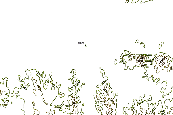
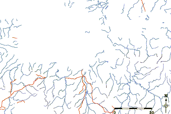
| Contours: | Roads & Rivers: | Select a
tide station / surf break / city |
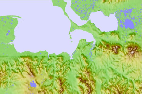
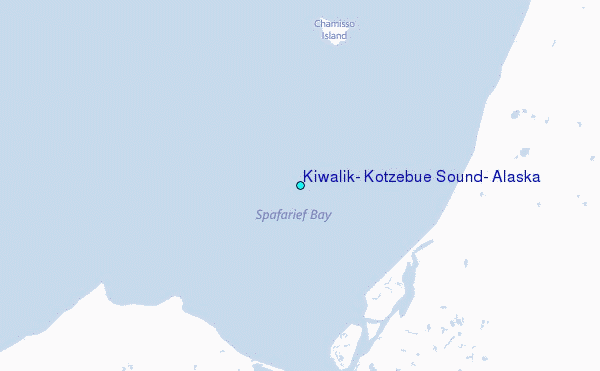
Use this relief map to navigate to tide stations, surf breaks and cities that are in the area of Kiwalik, Kotzebue Sound, Alaska.
Other Nearby Locations' tide tables and tide charts to Kiwalik, Kotzebue Sound, Alaska:
click location name for more details
 Surf breaks close to Kiwalik, Kotzebue Sound, Alaska:
|
||
|---|---|---|
| Closest surf break | Bird Point (Tidal Bore) | 494 mi |
| Second closest surf break | Termination Point | 648 mi |
| Third closest surf break | Monashka Bay | 649 mi |
| Fourth closest surf break | Mill Bay | 651 mi |
| Fifth closest surf break | Fossil Beach Kodiak | 676 mi |


 Nearest
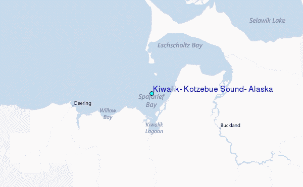