
| Distance / Altitude | Location | Report Date / Time | Live Weather | Wind | Gusts | Temp. | Visibility | Cloud |
|---|---|---|---|---|---|---|---|---|
| 10 km W / 219 m | Scappoose Airport (Oregon) | 2025-12-22 17:53 local (2025/12/23 01:53 GMT) | Light rain | light winds from the SSW (15 km/h at 210) | 8°C | 16 | broken broken overcast | |
| 15 km SSE / 218 m | Vancouver Airport (Washington) | 2025-12-22 17:53 local (2025/12/23 01:53 GMT) | Light rain | light winds from the SSW.(Wind varies from 160 to 240 degs) (17 km/h at 210) | 8°C | 14 | overcast | |
| 19 km SSE / 81 m | Piedmont wx (United States) | 2025-12-22 19:05 local (2025/12/23 03:05 GMT) | dry | light winds from the SSW (10 km/h at 210) | 11°C | - | - - 0 | |
| 20 km SE / 218 m | Portland Airport (Oregon) | 2025-12-22 17:53 local (2025/12/23 01:53 GMT) | Light rain | light winds from the SW (19 km/h at 220) | 9°C | 16 | few broken overcast | |
| 26 km SSW / 218 m | Hillsboro/Portland Airport (Oregon) | 2025-12-22 16:53 local (2025/12/23 00:53 GMT) | Moderate rain | moderate winds from the SW (24 km/h at 220) | 8°C | 5 | few broken | |
| 28 km NW / 3 m | BUOY-KLMW1 (Marine) | 2025-12-22 18:48 local (2025/12/23 02:48 GMT) | - (- km/h at -) | — | - | |||
| 33 km SE / 218 m | Troutdale Airport (Oregon) | 2025-12-22 17:53 local (2025/12/23 01:53 GMT) | Light rain | light winds from the SSW (15 km/h at 210) | 10°C | 16 | scattered broken overcast | |
| 40 km S / 70 m | Tualatin (Oregon) | 2025-12-22 18:41 local (2025/12/23 02:41 GMT) | dry | calm (3 km/h at 274) | 3°C | - | - - 0 | |
| 44 km NW / 220 m | Kelso Longveiw Airport (Washington) | 2025-12-22 17:56 local (2025/12/23 01:56 GMT) | Light rain | light winds from the SSE (15 km/h at 150) | 8°C | 16 | broken overcast | |
| 45 km NW / 3 m | BUOY-LOPW1 (Marine) | 2025-12-22 18:48 local (2025/12/23 02:48 GMT) | - (- km/h at -) | — | - |
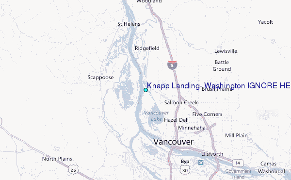
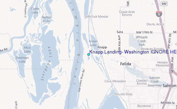
Choose Knapp Landing, Washington IGNORE HEIGHTS Location Map Zoom:
| Contours: | Roads & Rivers: | Select a
tide station / surf break / city |
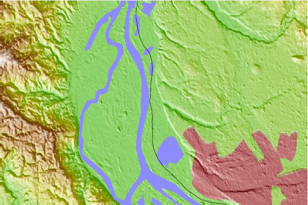
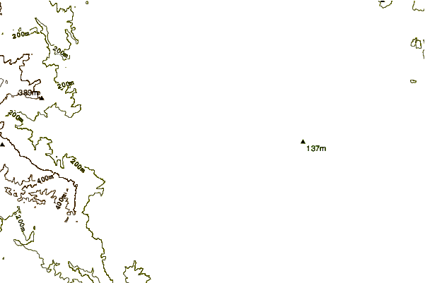
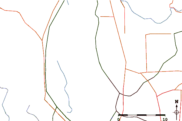
Use this relief map to navigate to tide stations, surf breaks and cities that are in the area of Knapp Landing, Washington IGNORE HEIGHTS.
Other Nearby Locations' tide tables and tide charts to Knapp Landing, Washington IGNORE HEIGHTS:
click location name for more details
 Surf breaks close to Knapp Landing, Washington IGNORE HEIGHTS:
|
||
|---|---|---|
| Closest surf break | Manzanita | 57 mi |
| Second closest surf break | Neakahine Point | 58 mi |
| Third closest surf break | Rockaway | 58 mi |
| Fourth closest surf break | Arcadia | 59 mi |
| Fifth closest surf break | Oswald State Park/Short Sands | 59 mi |


 Nearest
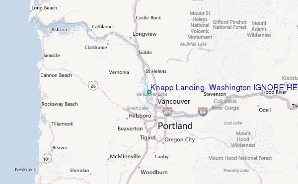