
| Distance / Altitude | Location | Report Date / Time | Live Weather | Wind | Gusts | Temp. | Visibility | Cloud |
|---|---|---|---|---|---|---|---|---|
| 9 km N / 581 m | Cape Romanzof Airport (Alaska) | 2025-12-25 13:55 local (2025/12/25 22:55 GMT) | - | moderate winds from the NNE.(Wind varies from 340 to 120 degs) (20 km/h at 30) | -11°C | 0.1 | ||
| 20 km S / 400 m | Hooper Bay Airport (Alaska) | 2025-12-25 13:56 local (2025/12/25 22:56 GMT) | Dry and partly cloudy | moderate winds from the ENE (26 km/h at 70) | -14°C | 16 | scattered | |
| 28 km SE / 23 m | Chevak Airport (Alaska) | 2025-12-25 13:56 local (2025/12/25 22:56 GMT) | Clear | moderate winds from the NE (28 km/h at 50) | -15°C | 16 | ||
| 130 km ENE / 103 m | Mountain Village Airport (Alaska) | 2025-12-25 13:56 local (2025/12/25 22:56 GMT) | Clear | moderate winds from the NNE (20 km/h at 30) | -17°C | 16 | ||
| 138 km SSE / 18 m | Toksook Bay Airport (Alaska) | 2025-12-25 13:56 local (2025/12/25 22:56 GMT) | Dry and cloudy | light winds from the N (17 km/h at 10) | -11°C | 16 | overcast | |
| 148 km ENE / 217 m | Saint Marys Airport (Alaska) | 2025-12-25 13:56 local (2025/12/25 22:56 GMT) | Clear | moderate winds from the NE (22 km/h at 50) | -17°C | 16 | ||
| 149 km S / 215 m | Mekoryuk Airport (Alaska) | 2025-12-25 13:56 local (2025/12/25 22:56 GMT) | - | moderate winds from the NE (24 km/h at 50) | -12°C | 0.1 | ||
| 210 km E / 31 m | Marshall (Alaska) | 2025-12-25 13:56 local (2025/12/25 22:56 GMT) | Clear | moderate winds from the NE (22 km/h at 50) | -16°C | 16 | ||
| 214 km SSW / 15 m | ASCATB191E61N (Marine) | 2025-12-25 12:48 local (2025/12/25 21:48 GMT) | near gales from the NE (51 km/h at 54) | — | - km | |||
| 226 km SSE / 213 m | Kipnuk Airport (AK) (United States) | 2025-12-25 13:56 local (2025/12/25 22:56 GMT) | Dry and cloudy | fresh winds from the NE (30 km/h at 50) | -14°C | 16 | broken overcast |
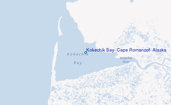
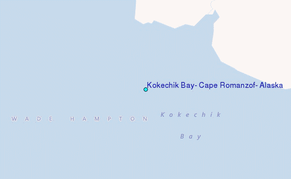
Choose Kokechik Bay, Cape Romanzof, Alaska Location Map Zoom:
| Contours: | Roads & Rivers: | Select a
tide station / surf break / city |
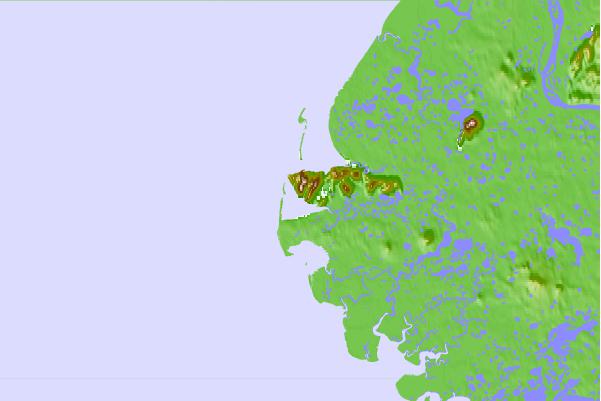
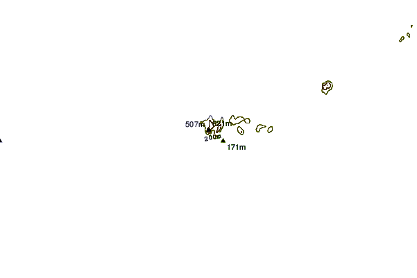
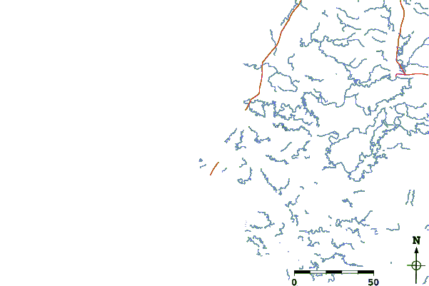
Use this relief map to navigate to tide stations, surf breaks and cities that are in the area of Kokechik Bay, Cape Romanzof, Alaska.
Other Nearby Locations' tide tables and tide charts to Kokechik Bay, Cape Romanzof, Alaska:
click location name for more details
 Surf breaks close to Kokechik Bay, Cape Romanzof, Alaska:
|
||
|---|---|---|
| Closest surf break | Bird Point (Tidal Bore) | 490 mi |
| Second closest surf break | Monashka Bay | 541 mi |
| Third closest surf break | Termination Point | 541 mi |
| Fourth closest surf break | Mill Bay | 544 mi |
| Fifth closest surf break | Fossil Beach Kodiak | 560 mi |


 Nearest
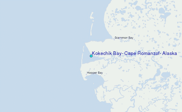