
| Distance / Altitude | Location | Report Date / Time | Live Weather | Wind | Gusts | Temp. | Visibility | Cloud |
|---|---|---|---|---|---|---|---|---|
| 1 km SSE / 30 m | WeatherServiceOffice- Koror- Palau Wci. (Palau) | 2026-02-26 09:00 local (2026/02/26 00:00 GMT) | State of sky unchanged | calm (4 km/h at 50) | 27°C | 44 km | overcast | |
| 2 km S / 212 m | Babelthuap (Palau)/Roman Tmetuchl International Airport (Micronesia) | 2026-02-26 07:50 local (2026/02/25 22:50 GMT) | Dry and cloudy | calm (0 km/h at 0) | 27°C | 23 | broken broken overcast | |
| 462 km ENE / 28 m | WeatherServiceOffice- Yap- Caroline Is. (Micronesia) | 2026-02-26 09:00 local (2026/02/26 00:00 GMT) | - | light winds from the E (19 km/h at 80) | 30°C | 39 km | scattered | |
| 462 km ENE / 205 m | Yap Island Airport (Micronesia) | 2026-02-26 07:55 local (2026/02/25 22:55 GMT) | Dry and partly cloudy | light winds from the E (13 km/h at 100) | 29°C | 19 | few scattered | |
| 859 km WNW / 7 m | Catarman (Philippines) | 2026-02-26 09:00 local (2026/02/26 00:00 GMT) | no report | wind obs. (4 kph from 40 degs) was rejected (- km/h at -) | 29°C | 20 | - | |
| 876 km SW / 0 m | lightning 131km SE of Pundaguitan (Philippines) | 2026-02-26 09:19 local (2026/02/26 00:19 GMT) | Thunderstorm | (- km/h at -) | — | |||
| 905 km WNW / 15 m | SHIP2713 (Marine) | 2026-02-26 09:00 local (2026/02/26 00:00 GMT) | fresh winds from the NNE (33.480000000000004 km/h at 20) | 29°C | 17.7 km | |||
| 913 km S / 3 m | SHIP6979 (Marine) | 2026-02-26 07:00 local (2026/02/25 22:00 GMT) | - (- km/h at -) | 26°C | - | |||
| 913 km S / 3 m | ManokwariRendani (Indonesia) | 2026-02-26 09:00 local (2026/02/26 00:00 GMT) | Intermittent light rain | calm (0 km/h at 0) | 29°C | 28 km | - overcast - | |
| 913 km S / 15 m | SHIP7732 (Marine) | 2026-02-26 07:00 local (2026/02/25 22:00 GMT) | - (- km/h at -) | — | - km |
| Contours: | Roads & Rivers: | Select a
tide station / surf break / city |
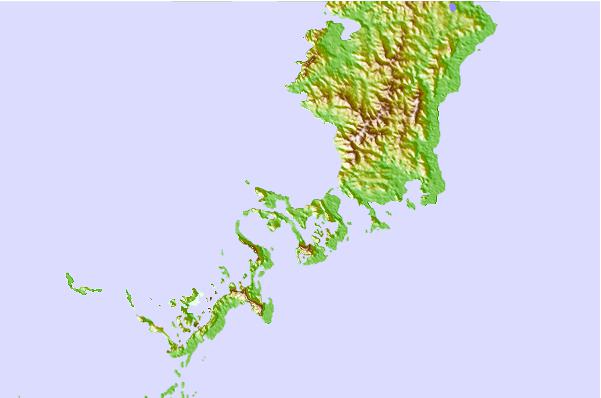
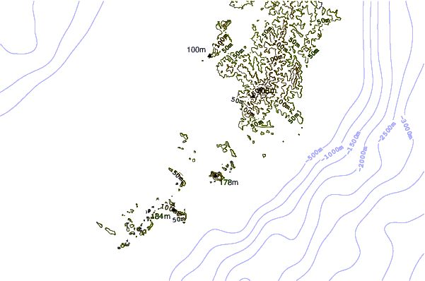
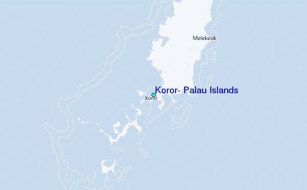
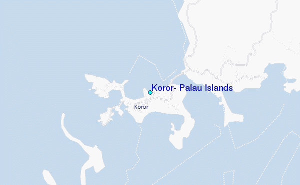
Use this relief map to navigate to tide stations, surf breaks and cities that are in the area of Koror, Palau Islands.
Other Nearby Locations' tide tables and tide charts to Koror, Palau Islands:
click location name for more details
 Surf breaks close to Koror, Palau Islands:
|
||
|---|---|---|
| Closest surf break | West Passage (Babelthuap) | 13 mi |
| Second closest surf break | Melekeok (Babelthuap) | 15 mi |
| Third closest surf break | Santa Maria Anguar | 39 mi |
| Fourth closest surf break | Tago River | 575 mi |
| Fifth closest surf break | Marami Beach | 582 mi |


 Nearest
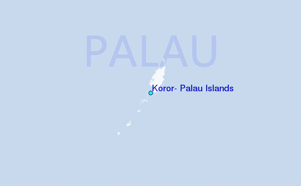