
| Distance / Altitude | Location | Report Date / Time | Live Weather | Wind | Gusts | Temp. | Visibility | Cloud |
|---|---|---|---|---|---|---|---|---|
| 23 km SW / 216 m | Sand Point Airport (Alaska) | 2026-06-23 20:22 local (2026/06/24 04:22 GMT) | Dry and partly cloudy | wind obs. (17 kph from 160 degs) was rejected (- km/h at -) | 12°C | 16 | scattered | |
| 23 km SW / 3 m | BUOY-SNDA2 (Marine) | 2026-06-23 21:00 local (2026/06/24 05:00 GMT) | light winds from the E (15 km/h at 80) | 12°C | - | |||
| 94 km WNW / 3 m | BUOY-NLXA2 (Marine) | 2026-06-23 21:32 local (2026/06/24 05:32 GMT) | moderate winds from the ENE (22 km/h at 70) | 10°C | - | |||
| 111 km N / 3 m | BUOY-CPSA2 (Marine) | 2026-06-23 21:32 local (2026/06/24 05:32 GMT) | moderate winds from the NNE (21 km/h at 30) | 8°C | - | |||
| 138 km SW / 47 m | King Cove Airport (Alabama) (Alaska) | 2026-06-23 19:56 local (2026/06/24 03:56 GMT) | Clear | wind obs. (19 kph from 60 degs) was rejected (- km/h at -) | 12°C | 16 | ||
| 144 km SW / 3 m | BUOY-KCXA2 (Marine) | 2026-06-23 21:32 local (2026/06/24 05:32 GMT) | light winds from the SW (18 km/h at 220) | 10°C | - | |||
| 144 km SW / 3 m | BUOY-KGCA2 (Marine) | 2026-06-23 21:00 local (2026/06/24 05:00 GMT) | light winds from the SSW (17 km/h at 200) | 11°C | - | |||
| 151 km NE / 212 m | Chignik Bay Airport (Alaska) | 2026-06-23 19:56 local (2026/06/24 03:56 GMT) | - | calm (0 km/h at 0) | 13°C | 16 | few | |
| 165 km WSW / 161 m | Cold Bay Airport (Alaska) | 2026-06-23 19:53 local (2026/06/24 03:53 GMT) | Clear | moderate winds from the SSE (22 km/h at 150) | 15°C | 16 | ||
| 167 km S / 3 m | Shumagin Islands Buoy (Marine) | 2026-06-23 21:10 local (2026/06/24 05:10 GMT) | moderate winds from the ESE (22 km/h at 120) | 8°C | - |
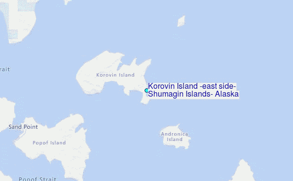
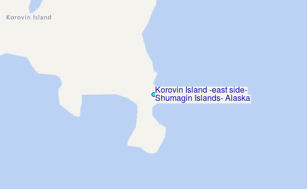
Choose Korovin Island (east side), Shumagin Islands, Alaska Location Map Zoom:
| Contours: | Roads & Rivers: | Select a
tide station / surf break / city |
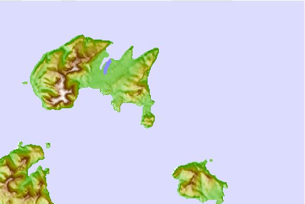
Use this relief map to navigate to tide stations, surf breaks and cities that are in the area of Korovin Island (east side), Shumagin Islands, Alaska.
Other Nearby Locations' tide tables and tide charts to Korovin Island (east side), Shumagin Islands, Alaska:
click location name for more details
 Surf breaks close to Korovin Island (east side), Shumagin Islands, Alaska:
|
||
|---|---|---|
| Closest surf break | Fossil Beach Kodiak | 329 mi |
| Second closest surf break | Monashka Bay | 338 mi |
| Third closest surf break | Termination Point | 340 mi |
| Fourth closest surf break | Mill Bay | 341 mi |
| Fifth closest surf break | Bird Point (Tidal Bore) | 487 mi |


 Nearest
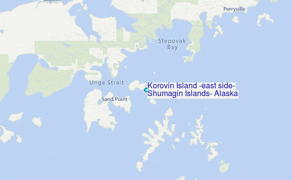