
| Distance / Altitude | Location | Report Date / Time | Live Weather | Wind | Gusts | Temp. | Visibility | Cloud |
|---|---|---|---|---|---|---|---|---|
| 0 km SW / 3 m | BUOY-KOZA2 (Marine) | 2026-04-03 18:32 local (2026/04/04 02:32 GMT) | light winds from the N (9 km/h at 360) | -9°C | - | |||
| 4 km S / 214 m | Kotzebue Airport (Alaska) | 2026-04-03 16:53 local (2026/04/04 00:53 GMT) | Clear | light winds from the ENE (17 km/h at 70) | -7°C | 16 | ||
| 69 km E / 17 m | Noorvik Airport (Alaska) | 2026-04-03 16:56 local (2026/04/04 00:56 GMT) | Clear | light winds from the SE (13 km/h at 130) | -5°C | 13 | ||
| 77 km ESE / 217 m | Selawik Airport (Alaska) | 2026-04-03 16:56 local (2026/04/04 00:56 GMT) | Clear | light winds from the ENE (9 km/h at 70) | -6°C | 16 | ||
| 93 km S / 477 m | Deering Airport (Alaska) | 2026-04-03 16:53 local (2026/04/04 00:53 GMT) | Clear | light winds from the WSW (13 km/h at 240) | -13°C | 16 | ||
| 94 km E / 198 m | Kinana / Bob Baker Memorial Airport (AK) (United States) | 2026-04-03 16:56 local (2026/04/04 00:56 GMT) | Clear | light winds from the E (19 km/h at 80) | -4°C | 16 | ||
| 99 km WNW / 3 m | BUOY-RDDA2 (Marine) | 2026-04-03 18:00 local (2026/04/04 02:00 GMT) | light winds from the NW (8 km/h at 310) | -7°C | - | |||
| 121 km SSE / 217 m | Buckland Airport (Alaska) | 2026-04-03 16:56 local (2026/04/04 00:56 GMT) | Dry and cloudy | light winds from the E (11 km/h at 100) | -3°C | 16 | overcast | |
| 126 km WNW / 205 m | Kivalina Airport (Alaska) | 2026-04-03 16:53 local (2026/04/04 00:53 GMT) | Clear | light winds from the NNE (15 km/h at 30) | -11°C | 16 | ||
| 127 km N / 297 m | Reg Dog Airport (Alaska) | 2026-04-03 16:20 local (2026/04/04 00:20 GMT) | - | light winds from the E (11 km/h at 80) | — | 16 |
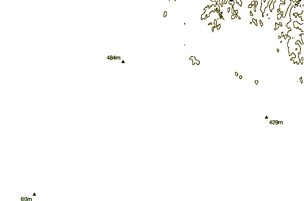
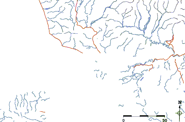
| Contours: | Roads & Rivers: | Select a
tide station / surf break / city |
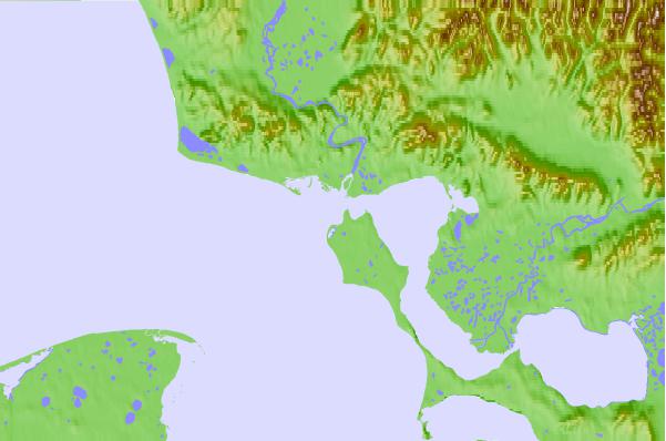
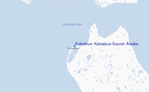
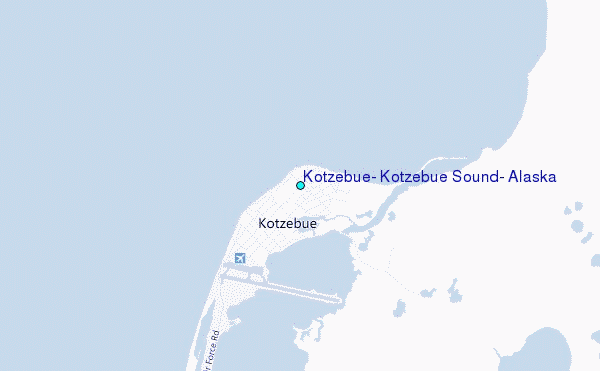
Use this relief map to navigate to tide stations, surf breaks and cities that are in the area of Kotzebue, Kotzebue Sound, Alaska.
Other Nearby Locations' tide tables and tide charts to Kotzebue, Kotzebue Sound, Alaska:
click location name for more details
 Surf breaks close to Kotzebue, Kotzebue Sound, Alaska:
|
||
|---|---|---|
| Closest surf break | Bird Point (Tidal Bore) | 546 mi |
| Second closest surf break | Termination Point | 704 mi |
| Third closest surf break | Monashka Bay | 705 mi |
| Fourth closest surf break | Mill Bay | 706 mi |
| Fifth closest surf break | Fossil Beach Kodiak | 732 mi |


 Nearest
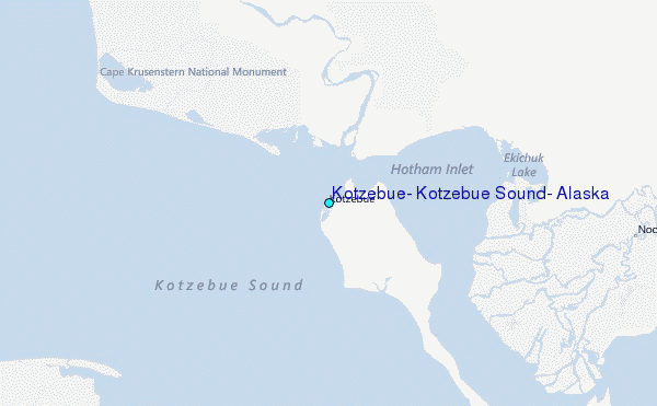