
| Distance / Altitude | Location | Report Date / Time | Live Weather | Wind | Gusts | Temp. | Visibility | Cloud |
|---|---|---|---|---|---|---|---|---|
| 23 km W / 3 m | SHIP7146 (Marine) | 2025-12-25 14:00 local (2025/12/25 07:00 GMT) | - (- km/h at -) | 31°C | - | |||
| 80 km W / 2 m | Juanda Airport (Indonesia) | 2025-12-25 14:44 local (2025/12/25 07:44 GMT) | Heavy rain | wind obs. (17 kph from 70 degs) was rejected (- km/h at -) | 31°C | 2.5 | scattered | |
| 95 km WNW / 3 m | SurabayaPerakI (Indonesia) | 2025-12-25 13:00 local (2025/12/25 06:00 GMT) | - | wind obs. (19 kph from 310 degs) was rejected (- km/h at -) | 34°C | 30 km | - mostly cloudy - | |
| 223 km ESE / 216 m | Bali International Airport (Indonesia) | 2025-12-25 14:30 local (2025/12/25 07:30 GMT) | - | moderate winds from the W (24 km/h at 260) | 31°C | 10.0 | few | |
| 225 km ESE / 1 m | DenpasarNgurahRai (Indonesia) | 2025-12-25 13:00 local (2025/12/25 06:00 GMT) | Clouds dissolving | moderate winds from the W (24 km/h at 270) | 31°C | 30 km | scattered | |
| 303 km NNE / 15 m | SHIP4550 (Marine) | 2025-12-25 13:00 local (2025/12/25 06:00 GMT) | moderate winds from the WNW (22.32 km/h at 290) | 28°C | 8.1 km |
| Contours: | Roads & Rivers: | Select a
tide station / surf break / city |
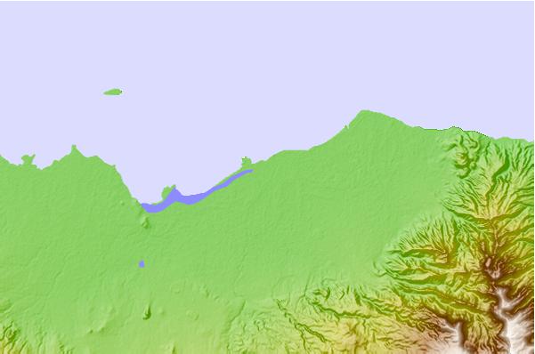
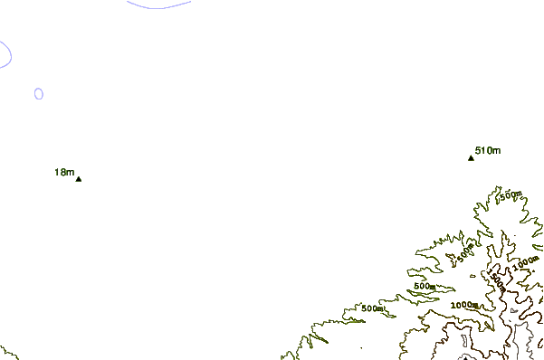
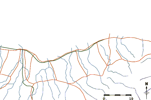
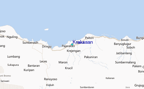
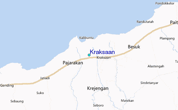
Use this relief map to navigate to tide stations, surf breaks and cities that are in the area of Kraksaan.
Other Nearby Locations' tide tables and tide charts to Kraksaan:
click location name for more details
 Surf breaks close to Kraksaan:
|
||
|---|---|---|
| Closest surf break | Grajagan Bay/G-Land | 94 mi |
| Second closest surf break | Tanjung Kucur | 96 mi |
| Third closest surf break | Medewi | 108 mi |
| Fourth closest surf break | Balian | 119 mi |
| Fifth closest surf break | Pererenan | 134 mi |


 Nearest
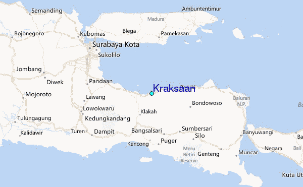