
| Distance / Altitude | Location | Report Date / Time | Live Weather | Wind | Gusts | Temp. | Visibility | Cloud |
|---|---|---|---|---|---|---|---|---|
| 93 km SSE / 25 m | JambiSultanTaha (Indonesia) | 2024-07-27 07:00 local (2024/07/27 00:00 GMT) | Mist | light winds from the SSE (7 km/h at 160) | 24°C | 1.8 km | - mostly cloudy - | |
| 129 km ENE / 31 m | SingkepDabo (Indonesia) | 2024-07-27 07:00 local (2024/07/27 00:00 GMT) | - | light winds from the ESE (9 km/h at 120) | 28°C | 29 km | scattered | |
| 136 km W / 46 m | RengatJapura (Indonesia) | 2024-07-27 07:00 local (2024/07/27 00:00 GMT) | - | light winds from the S (6 km/h at 180) | 25°C | 29 km | - few - | |
| 225 km NNE / 18 m | Raja Haji Fisabilillah International Airport (Indonesia) | 2024-07-27 06:30 local (2024/07/26 23:30 GMT) | - | light winds from the SE (6 km/h at 130) | 27°C | 10.0 | few | |
| 226 km NNE / 18 m | TanjungPinangKijang (Indonesia) | 2024-07-27 07:00 local (2024/07/27 00:00 GMT) | - | light winds from the S (6 km/h at 170) | 28°C | 30 km | scattered | |
| 226 km NNE / 38 m | Hang Nadim Airport (Indonesia) | 2024-07-27 06:30 local (2024/07/26 23:30 GMT) | Dry and partly cloudy | light winds from the SE (13 km/h at 140) | 28°C | 10.0 | few - - | |
| 228 km NNE / 15 m | SHIP3422 (Marine) | 2024-07-27 07:00 local (2024/07/27 00:00 GMT) | - (- km/h at -) | — | - km | |||
| 228 km NNE / 3 m | SHIP8621 (Marine) | 2024-07-27 07:00 local (2024/07/27 00:00 GMT) | - (- km/h at -) | 29°C | - | |||
| 234 km N / 15 m | SHIP3544 (Marine) | 2024-07-27 07:00 local (2024/07/27 00:00 GMT) | - (- km/h at -) | — | - km | |||
| 234 km N / 3 m | SHIP8625 (Marine) | 2024-07-27 07:00 local (2024/07/27 00:00 GMT) | - (- km/h at -) | 29°C | - |
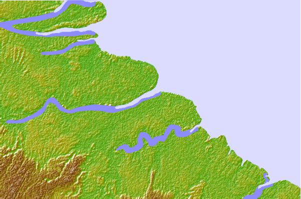
| Contours: | Roads & Rivers: | Select a
tide station / surf break / city |

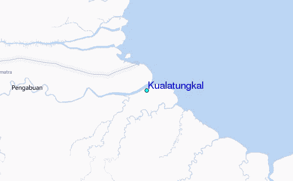
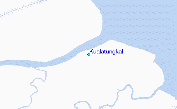
Use this relief map to navigate to tide stations, surf breaks and cities that are in the area of Kualatungkal.
Other Nearby Locations' tide tables and tide charts to Kualatungkal:
click location name for more details
 Surf breaks close to Kualatungkal:
|
||
|---|---|---|
| Closest surf break | Pantai Air Manis | 215 mi |
| Second closest surf break | Tioman Island | 254 mi |
| Third closest surf break | Bommie Peak | 271 mi |
| Fourth closest surf break | Lances Right | 272 mi |
| Fifth closest surf break | Green Bush | 273 mi |

 Nearest
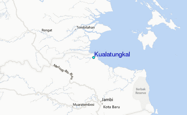