
| Distance / Altitude | Location | Report Date / Time | Live Weather | Wind | Gusts | Temp. | Visibility | Cloud |
|---|---|---|---|---|---|---|---|---|
| 23 km NE / 27 m | Kīhei wx (United States) | 2025-12-24 22:45 local (2025/12/25 08:45 GMT) | dry | calm (0 km/h at 29) | 21°C | - | - - 0 | |
| 30 km ENE / 821 m | Kēōkea wx (United States) | 2025-12-24 22:39 local (2025/12/25 08:39 GMT) | dry | calm (5 km/h at 121) | 13°C | - | - - 0 | |
| 32 km NNE / 235 m | Wailuku Heights wx (United States) | 2025-12-24 22:46 local (2025/12/25 08:46 GMT) | dry | - (- km/h at ) | — | - | - - 0 | |
| 36 km NNE / 3 m | BUOY-KLIH1 (Marine) | 2025-12-24 22:48 local (2025/12/25 08:48 GMT) | moderate winds from the ENE (21 km/h at 70) | — | - | |||
| 37 km NNE / 218 m | Kahului Airport (Hawaii) | 2025-12-24 21:54 local (2025/12/25 07:54 GMT) | Clear | moderate winds from the NE (26 km/h at 40) | 23°C | 16 | ||
| 39 km W / 650 m | Lanai City Airport (Hawaii) | 2025-12-24 21:56 local (2025/12/25 07:56 GMT) | Clear | light winds from the NE (13 km/h at 50) | 19°C | 16 | ||
| 41 km NE / 457 m | Makawao wx (United States) | 2025-12-24 22:09 local (2025/12/25 08:09 GMT) | dry | light winds from the NE (16 km/h at 39) | 18°C | - | - - 0 | |
| 43 km NE / 312 m | Haiku (Hawaii) | 2025-12-24 22:36 local (2025/12/25 08:36 GMT) | dry | wind obs. (5 kph from 41 degs) was rejected (- km/h at -) | 19°C | - | - - 0 | |
| 45 km W / 3 m | Kaumalapau Southwest Buoy- Lanai (Marine) | 2025-12-24 22:56 local (2025/12/25 08:56 GMT) | - (- km/h at -) | — | - | |||
| 50 km NNE / 3 m | Pauwela- Maui- HI (Marine) | 2025-12-24 22:56 local (2025/12/25 08:56 GMT) | - (- km/h at -) | — | - |
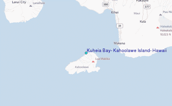
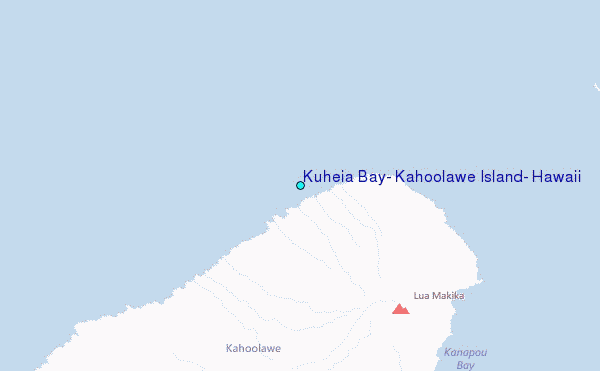
Choose Kuheia Bay, Kahoolawe Island, Hawaii Location Map Zoom:
| Contours: | Roads & Rivers: | Select a
tide station / surf break / city |
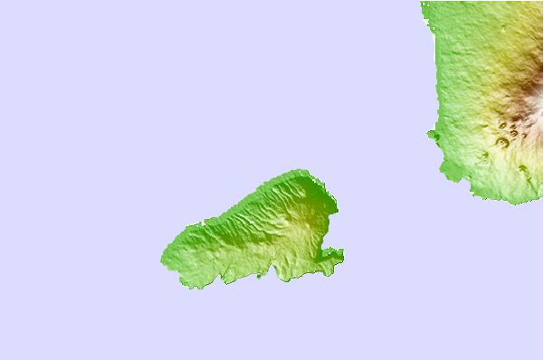
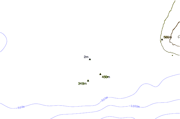
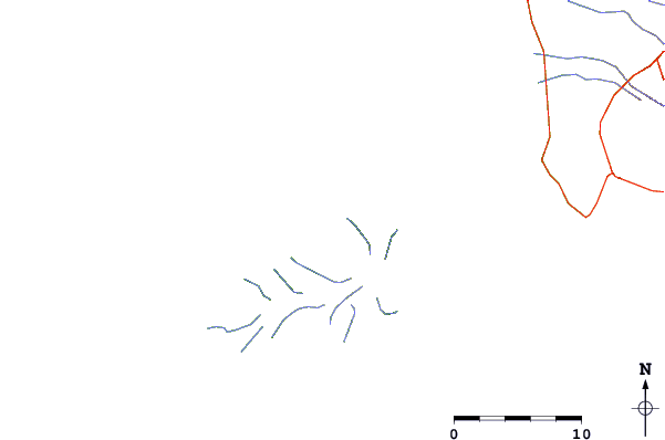
Use this relief map to navigate to tide stations, surf breaks and cities that are in the area of Kuheia Bay, Kahoolawe Island, Hawaii.
Other Nearby Locations' tide tables and tide charts to Kuheia Bay, Kahoolawe Island, Hawaii:
click location name for more details
 Surf breaks close to Kuheia Bay, Kahoolawe Island, Hawaii:
|
||
|---|---|---|
| Closest surf break | Big Beach | 10 mi |
| Second closest surf break | Little Beach | 10 mi |
| Third closest surf break | Dumps | 11 mi |
| Fourth closest surf break | La Perouse Bay/The Dumps | 11 mi |
| Fifth closest surf break | Grandma's | 13 mi |


 Nearest
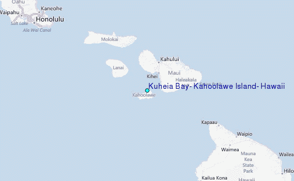