
| Distance / Altitude | Location | Report Date / Time | Live Weather | Wind | Gusts | Temp. | Visibility | Cloud |
|---|---|---|---|---|---|---|---|---|
| 24 km N / 108 m | KupangEltari (Indonesia) | 2026-02-11 08:30 local (2026/02/11 00:30 GMT) | Dry and partly cloudy | light winds from the NNE (6 km/h at 30) | 27°C | 10.0 | scattered overcast - | |
| 461 km SE / 415 m | Troughton Island (Australia) | 2026-02-11 09:00 local (2026/02/11 01:00 GMT) | no report | light winds from the NE (15 km/h at 40) | 26°C | - | - no observation - | |
| 508 km SE / 52 m | Truscott (Australia) | 2026-02-11 09:00 local (2026/02/11 01:00 GMT) | Clear skies | calm (4 km/h at 170) | 29°C | - | - few - | |
| 542 km SE / 155 m | Kalumburu (Australia) | 2026-02-11 08:00 local (2026/02/11 00:00 GMT) | Rain | calm (0 km/h at 0) | 25°C | - | - no observation - | |
| 570 km S / 6 m | AdeleIsland (Australia) | 2026-02-11 09:00 local (2026/02/11 01:00 GMT) | no report | wind obs. (11 kph from 180 degs) was rejected (- km/h at -) | 26°C | - | - no observation - | |
| 625 km SSE / 386 m | Doongan (Australia) | 2026-02-11 09:00 local (2026/02/11 01:00 GMT) | State of sky unchanged | calm (4 km/h at 320) | 26°C | 45 km | overcast | |
| 707 km S / 7 m | YampiSound(Defence) (Australia) | 2026-02-11 09:00 local (2026/02/11 01:00 GMT) | no report | wind obs. (9 kph from 250 degs) was rejected (- km/h at -) | 27°C | - | - no observation - | |
| 715 km ESE / 8 m | Point Fawcett (Australia) | 2026-02-11 09:00 local (2026/02/11 01:00 GMT) | no report | light winds from the W (9 km/h at 270) | 31°C | - | - no observation - | |
| 721 km SE / 1 m | lightning 110km NNW of Kununurra (Australia) | 2026-02-11 06:35 local (2026/02/10 22:35 GMT) | Thunderstorm | (- km/h at -) | — | |||
| 742 km WNW / 217 m | Hasanuddin/Ujung Airport (Indonesia) | 2026-02-11 08:30 local (2026/02/11 00:30 GMT) | Light rain | light winds from the E (11 km/h at 90) | 25°C | 8.0 | few scattered |
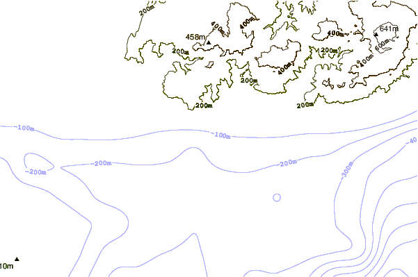
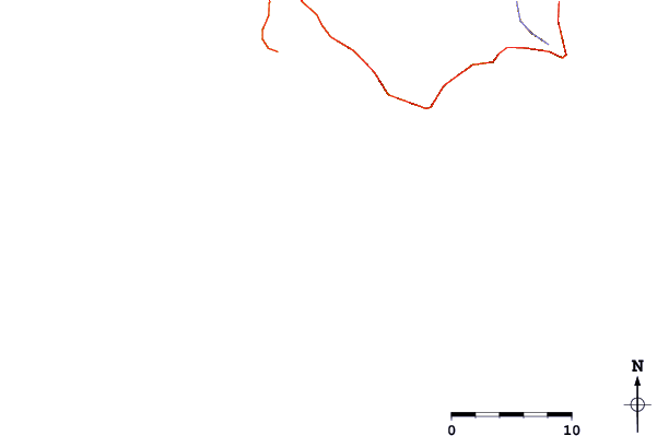
| Contours: | Roads & Rivers: | Select a
tide station / surf break / city |
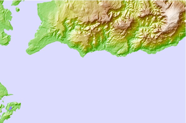
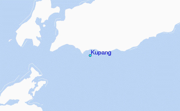
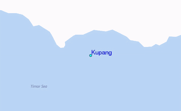
Use this relief map to navigate to tide stations, surf breaks and cities that are in the area of Kupang.
Other Nearby Locations' tide tables and tide charts to Kupang:
click location name for more details
 Surf breaks close to Kupang:
|
||
|---|---|---|
| Closest surf break | Nembrala | 48 mi |
| Second closest surf break | Boa | 65 mi |
| Third closest surf break | T-Land | 66 mi |
| Fourth closest surf break | Peanuts | 67 mi |
| Fifth closest surf break | Do'o | 67 mi |


 Nearest
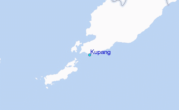