
| Distance / Altitude | Location | Report Date / Time | Live Weather | Wind | Gusts | Temp. | Visibility | Cloud |
|---|---|---|---|---|---|---|---|---|
| 83 km SE / 103 m | Mountain Village Airport (Alaska) | 2024-05-10 17:56 local (2024/05/11 01:56 GMT) | Dry and cloudy | moderate winds from the N (24 km/h at 360) | 5°C | 16 | overcast | |
| 93 km S / 4 m | Scammon Bay Airport (Alaska) | 2024-05-10 17:05 local (2024/05/11 01:05 GMT) | Dry and partly cloudy | light winds from the NW (11 km/h at 320) | 1°C | 16 | scattered | |
| 101 km SE / 217 m | Saint Marys Airport (Alaska) | 2024-05-10 16:56 local (2024/05/11 00:56 GMT) | Clear | light winds from the ENE (13 km/h at 60) | 7°C | 16 | ||
| 111 km SSW / 581 m | Cape Romanzof Airport (Alaska) | 2024-05-10 17:33 local (2024/05/11 01:33 GMT) | Shower light rain shower | fresh winds from the NNE (35 km/h at 30) | -2°C | 16 | broken | |
| 127 km S / 23 m | Chevak Airport (Alaska) | 2024-05-10 16:56 local (2024/05/11 00:56 GMT) | Clear | fresh winds from the NNE (31 km/h at 20) | 2°C | 16 |
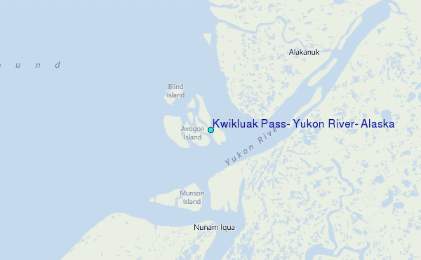
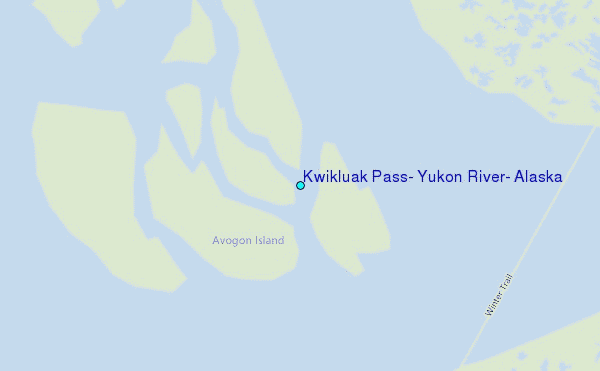
Choose Kwikluak Pass, Yukon River, Alaska Location Map Zoom:
| Contours: | Roads & Rivers: | Select a
tide station / surf break / city |
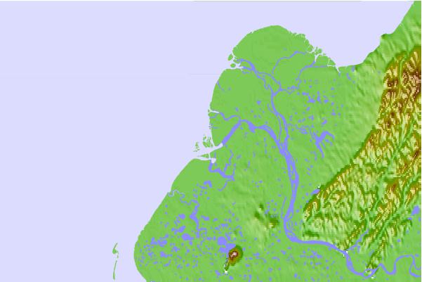
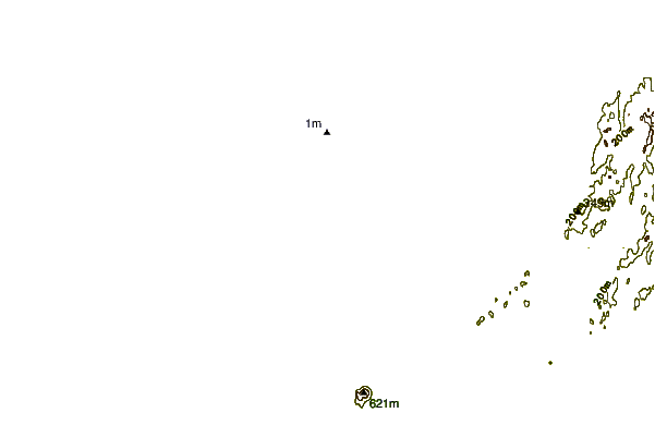
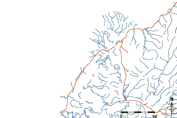
Use this relief map to navigate to tide stations, surf breaks and cities that are in the area of Kwikluak Pass, Yukon River, Alaska.
Other Nearby Locations' tide tables and tide charts to Kwikluak Pass, Yukon River, Alaska:
click location name for more details
 Surf breaks close to Kwikluak Pass, Yukon River, Alaska:
|
||
|---|---|---|
| Closest surf break | Bird Point (Tidal Bore) | 460 mi |
| Second closest surf break | Termination Point | 538 mi |
| Third closest surf break | Monashka Bay | 538 mi |
| Fourth closest surf break | Mill Bay | 541 mi |
| Fifth closest surf break | Fossil Beach Kodiak | 559 mi |

 Nearest
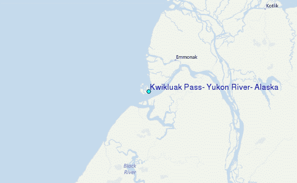