
| Distance / Altitude | Location | Report Date / Time | Live Weather | Wind | Gusts | Temp. | Visibility | Cloud |
|---|---|---|---|---|---|---|---|---|
| 0 km WNW / 3 m | La Jolla- CA (Marine) | 2026-04-12 04:20 local (2026/04/12 11:20 GMT) | light winds from the ESE (9 km/h at 120) | — | - | |||
| 0 km WNW / 3 m | BUOY-LJAC1 (Marine) | 2026-04-12 04:00 local (2026/04/12 11:00 GMT) | light winds from the E (9 km/h at 100) | 15°C | - | |||
| 1 km W / 3 m | SCRIPPS Nearshore- CA (Marine) | 2026-04-12 03:56 local (2026/04/12 10:56 GMT) | - (- km/h at -) | — | - | |||
| 11 km NW / 3 m | BUOY-46266 (Marine) | 2026-04-12 04:26 local (2026/04/12 11:26 GMT) | - (- km/h at -) | — | - | |||
| 12 km E / 215 m | Miramar Nas/san Airport (California) | 2026-04-12 02:55 local (2026/04/12 09:55 GMT) | Dry and partly cloudy | light winds from the E (9 km/h at 80) | 11°C | 16 | few scattered | |
| 13 km ESE / 218 m | San Diego/Montgomery Field Airport (California) | 2026-04-12 02:53 local (2026/04/12 09:53 GMT) | - | calm (0 km/h at 0) | 13°C | 16 | few | |
| 14 km W / 3 m | Torrey Pines Outer- CA (Marine) | 2026-04-12 04:26 local (2026/04/12 11:26 GMT) | - (- km/h at -) | — | - | |||
| 16 km SSE / 219 m | San Diego Airport (California) | 2026-04-12 02:51 local (2026/04/12 09:51 GMT) | Dry and partly cloudy | calm (0 km/h at 0) | 16°C | 16 | broken | |
| 19 km SSE / - m | SHIP40 (ocean) | 2026-04-12 04:00 local (2026/04/12 11:00 GMT) | No report | calm (2 km/h at 230) | 16°C | - | no observation | |
| 19 km SSE / - m | SHIP16 (ocean) | 2026-04-12 04:00 local (2026/04/12 11:00 GMT) | No report | calm (2 km/h at 230) | 16°C | - | no observation |
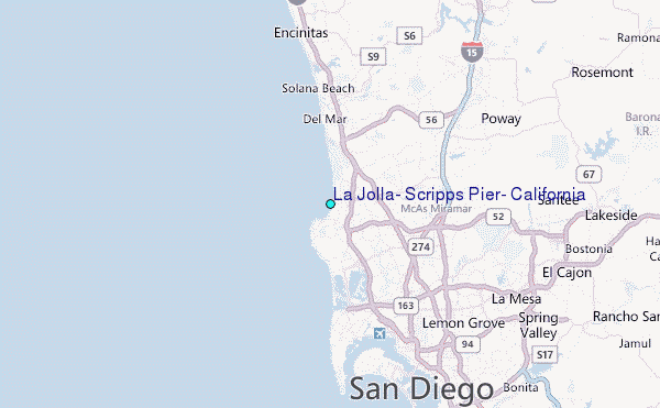
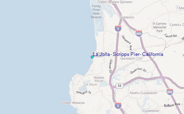
Choose La Jolla, Scripps Pier, California Location Map Zoom:
| Contours: | Roads & Rivers: | Select a
tide station / surf break / city |
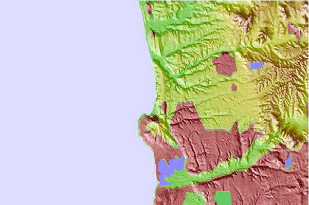
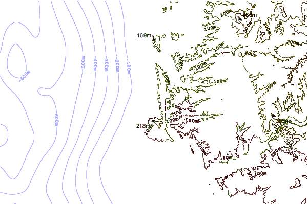
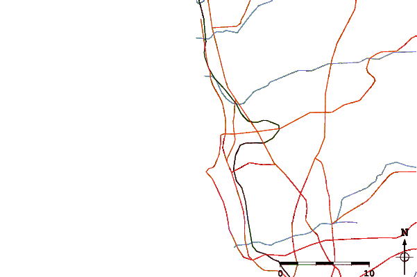
Use this relief map to navigate to tide stations, surf breaks and cities that are in the area of La Jolla, Scripps Pier, California.
Other Nearby Locations' tide tables and tide charts to La Jolla, Scripps Pier, California:
click location name for more details
 Surf breaks close to La Jolla, Scripps Pier, California:
|
||
|---|---|---|
| Closest surf break | North Scripps | 0 mi |
| Second closest surf break | La Jolla Shores | 1 mi |
| Third closest surf break | Scripps Pier | 1 mi |
| Fourth closest surf break | La Jolla Cove | 1 mi |
| Fifth closest surf break | Horseshoe | 2 mi |


 Nearest
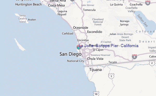