
| Distance / Altitude | Location | Report Date / Time | Live Weather | Wind | Gusts | Temp. | Visibility | Cloud |
|---|---|---|---|---|---|---|---|---|
| 77 km S / 8 m | Dumaguete (Philippines) | 2026-04-04 10:00 local (2026/04/04 02:00 GMT) | - | moderate winds from the ENE (22 km/h at 70) | 29°C | 10.0 | few | |
| 77 km S / 8 m | Dumaguete–Sibulan Airport (Philippines) | 2026-04-04 09:00 local (2026/04/04 01:00 GMT) | distant precipitation but not falling at station | wind obs. (11 kph from 110 degs) was rejected (- km/h at -) | 28°C | 10 | few - - | |
| 174 km SW / 15 m | ASCATB122E10N (Marine) | 2026-04-04 08:43 local (2026/04/04 00:43 GMT) | light winds from the NE (15 km/h at 43) | — | - km | |||
| 188 km NW / 80 m | Dalipdip wx (Philippines) | 2026-04-04 11:19 local (2026/04/04 03:19 GMT) | dry | light winds from the NNE (11 km/h at 27) | 28°C | - | - - 0 | |
| 200 km W / 15 m | ASCATB122E11N (Marine) | 2026-04-04 08:43 local (2026/04/04 00:43 GMT) | calm (3 km/h at 281) | — | - km | |||
| 205 km NW / 6 m | Kalibo/panay Isl (Philippines) | 2026-04-04 10:00 local (2026/04/04 02:00 GMT) | - | light winds from the E.(Wind varies from 040 to 120 degs) (15 km/h at 80) | 29°C | 10.0 | few | |
| 225 km SE / 10 m | Opol (PI) | 2026-04-04 11:06 local (2026/04/04 03:06 GMT) | dry | calm (2 km/h at 138) | 32°C | - | - - 0 | |
| 252 km SSW / 15 m | ASCATB122E9N (Marine) | 2026-04-04 08:44 local (2026/04/04 00:44 GMT) | light winds from the ENE (14 km/h at 72) | — | - km | |||
| 262 km N / 210 m | Macatan Airport (Philippines) | 2026-04-04 10:00 local (2026/04/04 02:00 GMT) | - | wind obs. (15 kph from 20 degs) was rejected (- km/h at -) | 31°C | 10.0 | few | |
| 272 km WSW / 15 m | ASCATC121E10N (Marine) | 2026-04-04 09:17 local (2026/04/04 01:17 GMT) | light winds from the NE (9 km/h at 44) | — | - km |
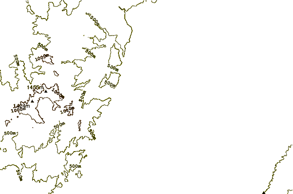
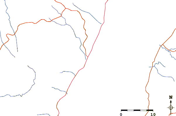
| Contours: | Roads & Rivers: | Select a
tide station / surf break / city |
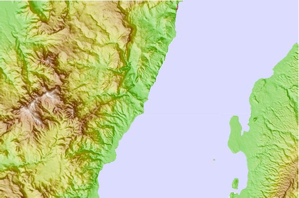
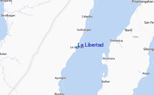
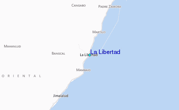
Use this relief map to navigate to tide stations, surf breaks and cities that are in the area of La Libertad.
Other Nearby Locations' tide tables and tide charts to La Libertad:
click location name for more details
 Surf breaks close to La Libertad:
|
||
|---|---|---|
| Closest surf break | Llorente | 184 mi |
| Second closest surf break | Boulevard | 185 mi |
| Third closest surf break | Guitagican Beach | 185 mi |
| Fourth closest surf break | Pirates Cove | 186 mi |
| Fifth closest surf break | Calicoan Island ABCD Beach | 188 mi |


 Nearest
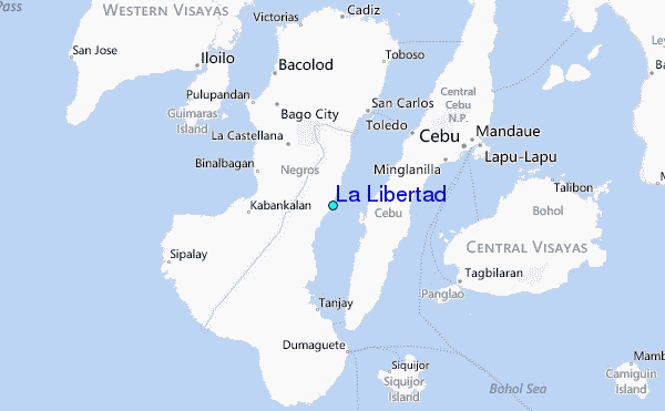