
| Distance / Altitude | Location | Report Date / Time | Live Weather | Wind | Gusts | Temp. | Visibility | Cloud |
|---|---|---|---|---|---|---|---|---|
| 75 km ENE / 63 m | Udu Point (Fiji) | 2026-05-31 21:00 local (2026/05/31 09:00 GMT) | no report | moderate winds from the SE (24 km/h at 140) | 26°C | - | - - - | |
| 118 km NW / 15 m | ASCATC179E16S (Marine) | 2026-05-31 21:12 local (2026/05/31 09:12 GMT) | strong winds from the E (39 km/h at 92) | — | - km | |||
| 118 km NNE / 15 m | ASCATC180E16S (Marine) | 2026-05-31 21:12 local (2026/05/31 09:12 GMT) | fresh winds from the E (36 km/h at 100) | — | - km | |||
| 120 km SSE / 15 m | ASCATC180E17S (Marine) | 2026-05-31 21:11 local (2026/05/31 09:11 GMT) | strong winds from the E (39 km/h at 94) | — | - km | |||
| 120 km NNE / 15 m | ASCATB180E16S (Marine) | 2026-05-31 20:43 local (2026/05/31 08:43 GMT) | fresh winds from the E (37 km/h at 101) | — | - km | |||
| 124 km WNW / 15 m | ASCATB179E16S (Marine) | 2026-05-31 20:43 local (2026/05/31 08:43 GMT) | fresh winds from the E (37 km/h at 97) | — | - km | |||
| 126 km SE / 15 m | ASCATB180E17S (Marine) | 2026-05-31 20:42 local (2026/05/31 08:42 GMT) | strong winds from the E (40 km/h at 99) | — | - km | |||
| 143 km WSW / 15 m | ASCATB178E17S (Marine) | 2026-05-31 20:42 local (2026/05/31 08:42 GMT) | fresh winds from the ESE (32 km/h at 107) | — | - km | |||
| 144 km SSE / 15 m | ASCATC180E18S (Marine) | 2026-05-31 21:11 local (2026/05/31 09:11 GMT) | fresh winds from the E (38 km/h at 93) | — | - km | |||
| 147 km SSE / 15 m | ASCATB180E18S (Marine) | 2026-05-31 20:42 local (2026/05/31 08:42 GMT) | fresh winds from the E (38 km/h at 97) | — | - km |
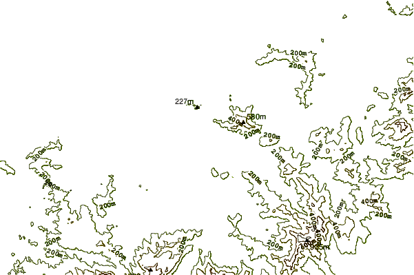
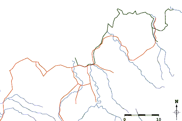
| Contours: | Roads & Rivers: | Select a
tide station / surf break / city |
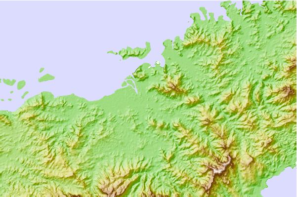
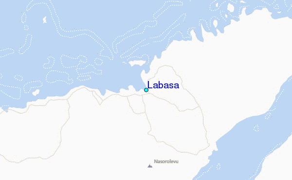
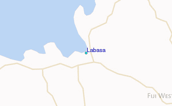
Use this relief map to navigate to tide stations, surf breaks and cities that are in the area of Labasa.
Other Nearby Locations' tide tables and tide charts to Labasa:
click location name for more details
 Surf breaks close to Labasa:
|
||
|---|---|---|
| Closest surf break | Kia Island Reef | 27 mi |
| Second closest surf break | Lighthouse | 137 mi |
| Third closest surf break | Serua Rights | 160 mi |
| Fourth closest surf break | Waidroka | 161 mi |
| Fifth closest surf break | Pipes | 162 mi |


 Nearest
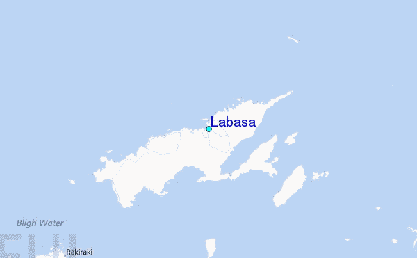