
| Distance / Altitude | Location | Report Date / Time | Live Weather | Wind | Gusts | Temp. | Visibility | Cloud |
|---|---|---|---|---|---|---|---|---|
| 133 km WSW / 2 m | BimaM.salahuddin (Indonesia) | 2025-12-19 14:00 local (2025/12/19 06:00 GMT) | - | light winds from the NE (19 km/h at 40) | 32°C | 30 km | - scattered - | |
| 138 km SSE / 12 m | WaingapuMauHau (Indonesia) | 2025-12-19 14:00 local (2025/12/19 06:00 GMT) | State of sky unchanged | light winds from the W (7 km/h at 260) | 30°C | 29 km | - mostly cloudy - | |
| 258 km E / 3 m | MaumereWaiOti (Indonesia) | 2025-12-19 14:00 local (2025/12/19 06:00 GMT) | Rain | calm (0 km/h at 0) | 29°C | 30 km | - scattered - | |
| 274 km WSW / 3 m | SumbawaBesarBrangbiji (Indonesia) | 2025-12-19 14:00 local (2025/12/19 06:00 GMT) | State of sky unchanged | light winds from the NW (9 km/h at 310) | 30°C | 30 km | - mostly cloudy - | |
| 379 km N / 14 m | UjungPandangHasanuddin (Indonesia) | 2025-12-19 14:00 local (2025/12/19 06:00 GMT) | Clouds dissolving | wind obs. (6 kph from 40 degs) was rejected (- km/h at -) | 30°C | 30 km | mostly cloudy | |
| 380 km N / 217 m | Hasanuddin/Ujung Airport (Indonesia) | 2025-12-19 15:30 local (2025/12/19 07:30 GMT) | Dry and partly cloudy | light winds from the WNW.(Wind varies from 250 to 350 degs) (9 km/h at 300) | 29°C | 10.0 | scattered | |
| 399 km WSW / 97 m | Bandara Airport (Indonesia) | 2025-12-19 15:30 local (2025/12/19 07:30 GMT) | Thunderstorm - | wind obs. (6 kph from 290 degs) was rejected (- km/h at -) | 29°C | 7.0 | few scattered | |
| 444 km NE / 2 m | Bau-BauBetoAmbari (Indonesia) | 2025-12-19 14:00 local (2025/12/19 06:00 GMT) | State of sky unchanged | wind obs. (6 kph from 60 degs) was rejected (- km/h at -) | 27°C | 30 km | mostly cloudy | |
| 454 km ESE / 108 m | KupangEltari (Indonesia) | 2025-12-19 15:30 local (2025/12/19 07:30 GMT) | Dry and partly cloudy | wind obs. (13 kph from 310 degs) was rejected (- km/h at -) | 31°C | 10.0 | few mostly cloudy - | |
| 521 km WSW / 1 m | DenpasarNgurahRai (Indonesia) | 2025-12-19 14:00 local (2025/12/19 06:00 GMT) | Heavy thunderstorm | light winds from the E (13 km/h at 90) | 26°C | 0.3 km | overcast |
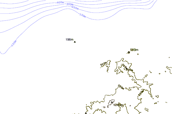
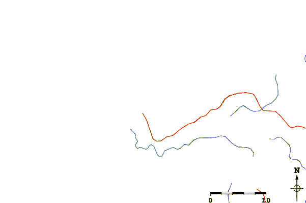
| Contours: | Roads & Rivers: | Select a
tide station / surf break / city |
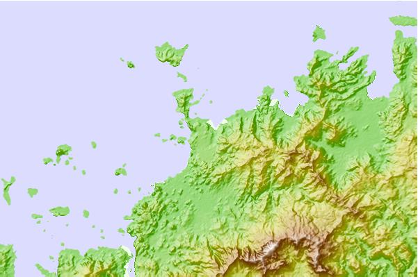
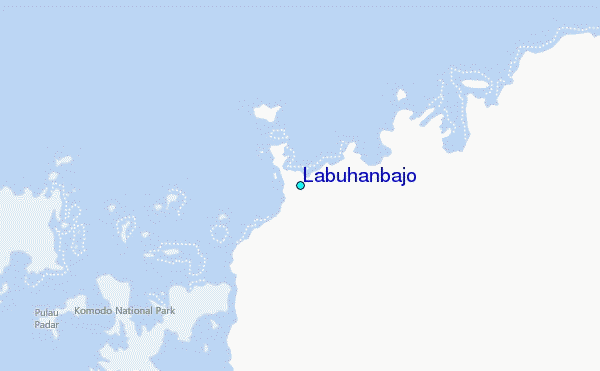
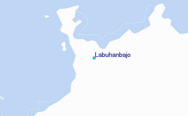
Use this relief map to navigate to tide stations, surf breaks and cities that are in the area of Labuhanbajo.
Other Nearby Locations' tide tables and tide charts to Labuhanbajo:
click location name for more details
 Surf breaks close to Labuhanbajo:
|
||
|---|---|---|
| Closest surf break | Wanukaka | 97 mi |
| Second closest surf break | Bondo Kodi | 100 mi |
| Third closest surf break | Marosi | 100 mi |
| Fourth closest surf break | Sunset Left | 100 mi |
| Fifth closest surf break | Wanjapu | 101 mi |


 Nearest
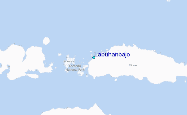