
| Distance / Altitude | Location | Report Date / Time | Live Weather | Wind | Gusts | Temp. | Visibility | Cloud |
|---|---|---|---|---|---|---|---|---|
| 14 km SE / 3 m | BUOY-46285 (Marine) | 2026-07-20 15:56 local (2026/07/20 22:56 GMT) | - (- km/h at -) | — | - | |||
| 16 km NW / 218 m | Costa Mesa Airport (California) | 2026-07-20 14:53 local (2026/07/20 21:53 GMT) | Dry and partly cloudy | light winds from the SSW (15 km/h at 210) | 25°C | 16 | broken broken | |
| 18 km N / 22.8 m | Irvine (California) | 2026-07-20 15:28 local (2026/07/20 22:28 GMT) | light rain | calm (5 km/h at 198) | 19°C | - | - - 0 | |
| 20 km NE / 309 m | Coeur d Alene (Idaho) | 2026-07-20 15:01 local (2026/07/20 22:01 GMT) | dry | calm (0 km/h at 34) | 28°C | - | - - 0 | |
| 25 km SSE / 3 m | BUOY-46277 (Marine) | 2026-07-20 16:00 local (2026/07/20 23:00 GMT) | - (- km/h at -) | 22°C | - | |||
| 34 km W / 15 m | SHIP14 (Marine) | 2026-07-20 15:00 local (2026/07/20 22:00 GMT) | - (- km/h at -) | — | - km | |||
| 34 km W / 3 m | SHIP6599 (Marine) | 2026-07-20 15:00 local (2026/07/20 22:00 GMT) | - (- km/h at -) | 27°C | - | |||
| 34 km W / 15 m | SHIP3875 (Marine) | 2026-07-20 16:00 local (2026/07/20 23:00 GMT) | - (- km/h at -) | — | - km | |||
| 34 km W / 3 m | SHIP6600 (Marine) | 2026-07-20 15:00 local (2026/07/20 22:00 GMT) | - (- km/h at -) | 24°C | - | |||
| 34 km W / 15 m | SHIP5519 (Marine) | 2026-07-20 14:00 local (2026/07/20 21:00 GMT) | - (- km/h at -) | — | - km |
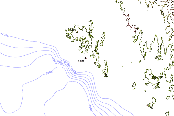
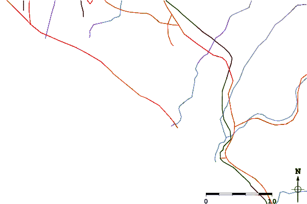
| Contours: | Roads & Rivers: | Select a
tide station / surf break / city |
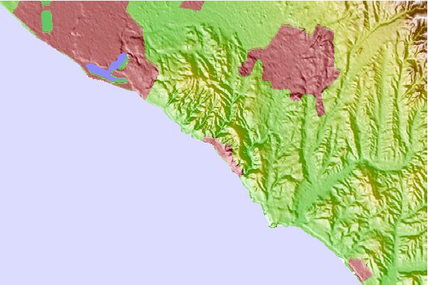
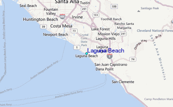
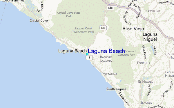
Use this relief map to navigate to tide stations, surf breaks and cities that are in the area of Laguna Beach.
Other Nearby Locations' tide tables and tide charts to Laguna Beach:
click location name for more details
 Surf breaks close to Laguna Beach:
|
||
|---|---|---|
| Closest surf break | Agate and Pearl Street | 1 mi |
| Second closest surf break | Laguna Beach | 1 mi |
| Third closest surf break | Laguna Beach - Rockpile | 1 mi |
| Fourth closest surf break | Laguna Beach - South Crescent Bay | 1 mi |
| Fifth closest surf break | Thaila | 1 mi |


 Nearest
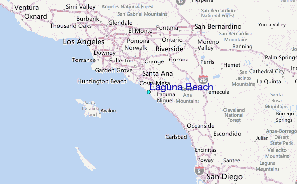