
| Distance / Altitude | Location | Report Date / Time | Live Weather | Wind | Gusts | Temp. | Visibility | Cloud |
|---|---|---|---|---|---|---|---|---|
| 19 km WSW / 3 m | Waimea Bay- HI (Marine) | 2026-05-07 04:56 local (2026/05/07 14:56 GMT) | - (- km/h at -) | — | - | |||
| 22 km S / 717 m | Wheeler Air Force Base/oahu Airport (Hawaii) | 2026-05-07 03:55 local (2026/05/07 13:55 GMT) | Dry and cloudy | light winds from the NNW (6 km/h at 330) | 20°C | 16 | overcast | |
| 25 km S / 132 m | Pacific Palisades wx (United States) | 2026-05-07 04:05 local (2026/05/07 14:05 GMT) | dry | calm (3 km/h at 13) | 21°C | - | - - 0 | |
| 26 km SE / 3 m | Kaneohe Bay- WETS- HI (Marine) | 2026-05-07 04:56 local (2026/05/07 14:56 GMT) | - (- km/h at -) | — | - | |||
| 27 km SSE / 3 m | BUOY-HRRH1 (Marine) | 2026-05-07 04:30 local (2026/05/07 14:30 GMT) | - (0 km/h at -) | 20°C | - | |||
| 29 km SSE / 3 m | BUOY-MOKH1 (Marine) | 2026-05-07 04:36 local (2026/05/07 14:36 GMT) | calm (4 km/h at 240) | 22°C | - | |||
| 29 km S / 3 m | SHIP10371 (Marine) | 2026-05-07 03:00 local (2026/05/07 13:00 GMT) | light winds from the NNW (9 km/h at 340) | 22°C | - | |||
| 29 km S / 3 m | SHIP11830 (Marine) | 2026-05-07 04:00 local (2026/05/07 14:00 GMT) | light winds from the NNW (8 km/h at 330) | 22°C | - | |||
| 29 km S / - m | SHIP2306 (ocean) | 2026-05-07 03:00 local (2026/05/07 13:00 GMT) | No report | light winds from the NNW (15 km/h at 330) | 22°C | - | no observation | |
| 29 km S / - m | SHIP2304 (ocean) | 2026-05-07 03:00 local (2026/05/07 13:00 GMT) | No report | light winds from the NNW (11 km/h at 330) | 22°C | - | no observation |
| Contours: | Roads & Rivers: | Select a
tide station / surf break / city |
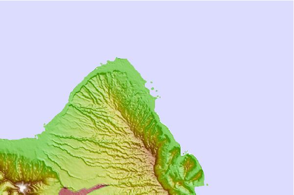
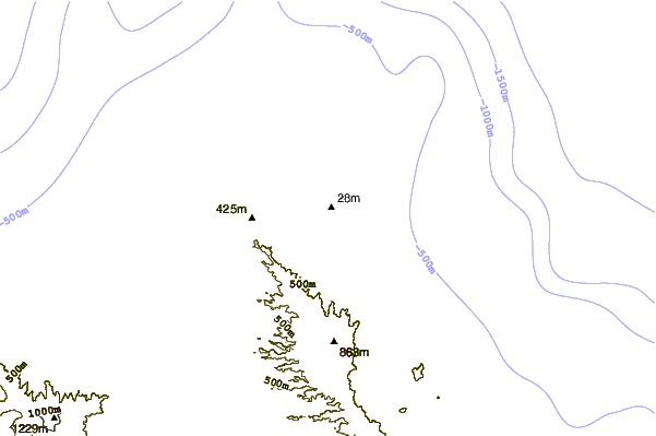
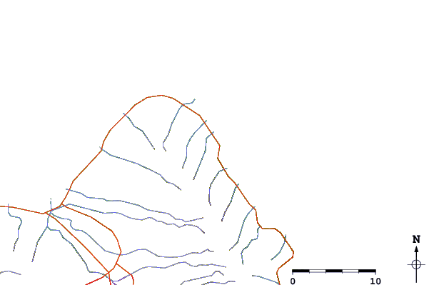
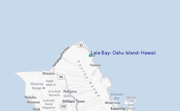
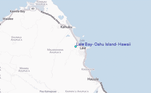
Use this relief map to navigate to tide stations, surf breaks and cities that are in the area of Laie Bay, Oahu Island, Hawaii.
Other Nearby Locations' tide tables and tide charts to Laie Bay, Oahu Island, Hawaii:
click location name for more details
 Surf breaks close to Laie Bay, Oahu Island, Hawaii:
|
||
|---|---|---|
| Closest surf break | Goat Island/Mokuauia | 1 mi |
| Second closest surf break | PCCs | 1 mi |
| Third closest surf break | Poundeers Beach | 2 mi |
| Fourth closest surf break | Seventh Hole | 2 mi |
| Fifth closest surf break | Graters | 6 mi |


 Nearest
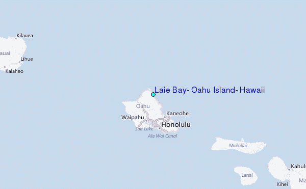