
| Distance / Altitude | Location | Report Date / Time | Live Weather | Wind | Gusts | Temp. | Visibility | Cloud |
|---|---|---|---|---|---|---|---|---|
| 15 km WSW / 217 m | Langkawi International Airport (Malaysia) | 2026-05-26 23:00 local (2026/05/26 15:00 GMT) | Thunderstorm light rain thunderstorm | calm (2 km/h at 1) | 27°C | 10.0 | few few scattered | |
| 45 km NE / 6 m | Satun Thai Air Force Base (Thailand) | 2026-05-27 00:00 local (2026/05/26 16:00 GMT) | no report | light winds from the WNW (9 km/h at 290) | 31°C | - | - - - | |
| 50 km ENE / 22 m | Chuping (Malaysia) | 2026-05-27 00:00 local (2026/05/26 16:00 GMT) | haze | light winds from the W (11 km/h at 270) | 31°C | 15 | - | |
| 63 km ESE / 5 m | Sultan Abdul Halim Airport (Malaysia) | 2026-05-27 00:00 local (2026/05/26 16:00 GMT) | Thunderstorm - | calm (4 km/h at 1) | 28°C | 9.0 | few scattered - | |
| 81 km NE / 25 m | Sadao (Thailand) | 2026-05-27 00:00 local (2026/05/26 16:00 GMT) | no report | light winds from the W (9 km/h at 260) | 31°C | - | - | |
| 81 km NE / 25 m | Sadao Town (Thailand) | 2026-05-27 00:00 local (2026/05/26 16:00 GMT) | no report | light winds from the W (9 km/h at 260) | 31°C | - | - | |
| 91 km NE / 35 m | HatYaiAirport (Thailand) | 2026-05-27 00:00 local (2026/05/26 16:00 GMT) | no report | light winds from the SW (7 km/h at 230) | 31°C | 30 km | - mostly cloudy - | |
| 92 km NE / 217 m | Hat Yai Airport (Thailand) | 2026-05-26 23:30 local (2026/05/26 15:30 GMT) | Dry and partly cloudy | light winds from the SW.(Wind varies from 180 to 280 degs) (7 km/h at 230) | 28°C | 10.0 | few scattered broken | |
| 105 km NE / 10 m | Kho Hong Agromet (Thailand) | 2026-05-27 00:00 local (2026/05/26 16:00 GMT) | no report | light winds from the SW (11 km/h at 230) | 33°C | 30 km | - mostly cloudy - | |
| 111 km SSE / 217 m | Butterworth Airport (Malaysia) | 2026-05-26 23:00 local (2026/05/26 15:00 GMT) | - | light winds from the WNW.(Wind varies from 260 to 340 degs) (11 km/h at 290) | 30°C | 8.0 | few |
| Contours: | Roads & Rivers: | Select a
tide station / surf break / city |
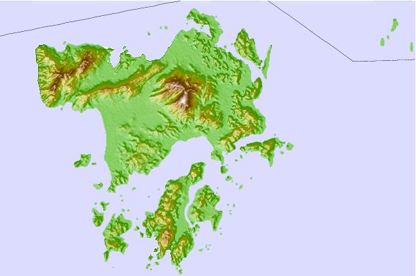
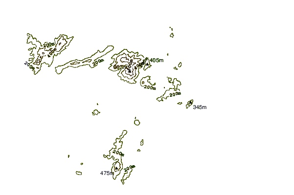

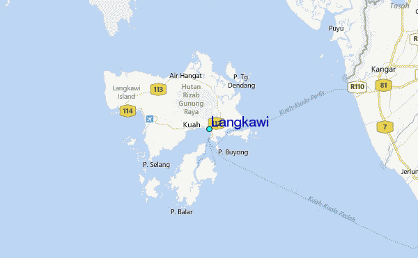
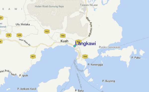
Use this relief map to navigate to tide stations, surf breaks and cities that are in the area of Langkawi.
Other Nearby Locations' tide tables and tide charts to Langkawi:
click location name for more details
 Surf breaks close to Langkawi:
|
||
|---|---|---|
| Closest surf break | Cenang Beach (The Cliff) | 9 mi |
| Second closest surf break | Tengah Beach (Bank Negara) | 9 mi |
| Third closest surf break | Songkhla - Fulerayem Point | 80 mi |
| Fourth closest surf break | Koh Lanta - Khlong Dao | 106 mi |
| Fifth closest surf break | Nai Harn Beach | 146 mi |


 Nearest
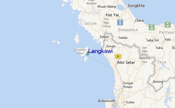