
| Distance / Altitude | Location | Report Date / Time | Live Weather | Wind | Gusts | Temp. | Visibility | Cloud |
|---|---|---|---|---|---|---|---|---|
| 48 km NW / 7 m | Barrow Island Airport (Australia) | 2026-04-30 08:00 local (2026/04/30 00:00 GMT) | no report | wind obs. (13 kph from 50 degs) was rejected (- km/h at -) | 22°C | - | - | |
| 48 km NW / 7 m | Barrow Island Airport (Australia) | 2026-04-30 09:00 local (2026/04/30 01:00 GMT) | No report | light winds from the SSE (17 km/h at 160) | 28°C | - | - no observation - | |
| 50 km ENE / 240 m | Mardie (Australia) | 2026-04-30 09:00 local (2026/04/30 01:00 GMT) | no report | light winds from the WSW (7 km/h at 250) | 24°C | - | - | |
| 53 km SW / 6 m | ThevenardIsland (Australia) | 2026-04-30 09:00 local (2026/04/30 01:00 GMT) | no report | light winds from the SSW (15 km/h at 200) | 22°C | - | - no observation - | |
| 57 km SSW / 239 m | Onslow Airport (Australia) | 2026-04-30 09:00 local (2026/04/30 01:00 GMT) | Clear skies | light winds from the S (7 km/h at 190) | 28°C | - | - no observation - | |
| 72 km N / 224 m | Varanus Island (Australia) | 2026-04-30 09:00 local (2026/04/30 01:00 GMT) | no report | wind obs. (20 kph from 80 degs) was rejected (- km/h at -) | 23°C | - | - no observation - | |
| 148 km ENE / 6 m | KarrathaAero (Australia) | 2026-04-30 08:00 local (2026/04/30 00:00 GMT) | Clear skies | light winds from the SW (11 km/h at 220) | 23°C | - | - no observation - | |
| 174 km NE / 30 m | Legendre Island (Australia) | 2026-04-30 09:00 local (2026/04/30 01:00 GMT) | No report | light winds from the SSW (19 km/h at 210) | 28°C | - | - no observation - | |
| 179 km SSW / 6 m | Learmonth Airport (Australia) | 2026-04-30 09:00 local (2026/04/30 01:00 GMT) | no report | wind obs. (9 kph from 220 degs) was rejected (- km/h at -) | 25°C | - | - no observation - | |
| 180 km SSW / 214 m | Learmouth Airport (Australia) | 2026-04-30 08:30 local (2026/04/30 00:30 GMT) | Dry and cloudy | light winds from the SSW (9 km/h at 200) | 25°C | 10.0 | broken overcast |
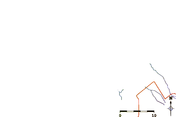
| Contours: | Roads & Rivers: | Select a
tide station / surf break / city |

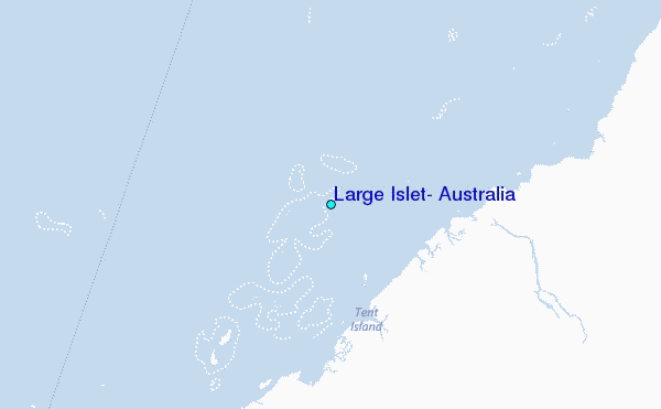
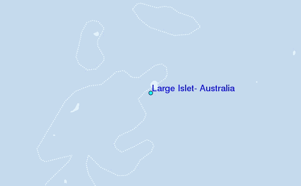
Use this relief map to navigate to tide stations, surf breaks and cities that are in the area of Large Islet, Australia.
Other Nearby Locations' tide tables and tide charts to Large Islet, Australia:
click location name for more details
 Surf breaks close to Large Islet, Australia:
|
||
|---|---|---|
| Closest surf break | Dunes | 94 mi |
| Second closest surf break | Lighthouse Bombie | 104 mi |
| Third closest surf break | Gnaraloo | 211 mi |
| Fourth closest surf break | Turtles | 226 mi |
| Fifth closest surf break | Red Bluff | 230 mi |


 Nearest
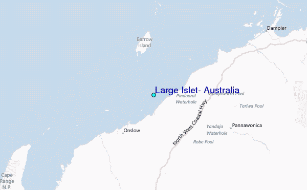