
| Distance / Altitude | Location | Report Date / Time | Live Weather | Wind | Gusts | Temp. | Visibility | Cloud |
|---|---|---|---|---|---|---|---|---|
| 6 km ESE / 3 m | BUOY-46268 (Marine) | 2025-12-24 23:30 local (2025/12/25 07:30 GMT) | - (- km/h at -) | — | - | |||
| 13 km ESE / 3 m | BUOY-ICAC1 (Marine) | 2025-12-24 23:30 local (2025/12/25 07:30 GMT) | light winds from the E (17 km/h at 100) | 15°C | - | |||
| 17 km E / 218 m | Santa Monica Airport (California) | 2025-12-24 22:51 local (2025/12/25 06:51 GMT) | Mist - | light winds from the E (9 km/h at 90) | 14°C | 10 | overcast | |
| 20 km S / 3 m | Santa Monica Bay- CA (Marine) | 2025-12-24 23:26 local (2025/12/25 07:26 GMT) | - (- km/h at -) | — | - | |||
| 24 km NE / 715 m | Van Nuys Airport (California) | 2025-12-24 22:51 local (2025/12/25 06:51 GMT) | Dry and cloudy | light winds from the SE (15 km/h at 140) | 14°C | 16 | scattered broken overcast | |
| 26 km ESE / 216 m | Los Angeles Airport (California) | 2025-12-24 23:23 local (2025/12/25 07:23 GMT) | Dry and partly cloudy | wind obs. (13 kph from 100 degs) was rejected (- km/h at -) | 15°C | 16 | few scattered broken | |
| 30 km WNW / 38 m | Camarillo (California) | 2025-12-25 00:02 local (2025/12/25 08:02 GMT) | dry | calm (0 km/h at 58) | 7°C | - | - - 0 | |
| 31 km ESE / 218 m | Hawthorne Airport (California) | 2025-12-24 22:53 local (2025/12/25 06:53 GMT) | Dry and cloudy | light winds from the ESE (9 km/h at 120) | 14°C | 16 | few overcast | |
| 31 km NE / 714 m | Burbank Airport (California) | 2025-12-24 22:53 local (2025/12/25 06:53 GMT) | Dry and cloudy | light winds from the SE (13 km/h at 140) | 14°C | 16 | broken broken overcast | |
| 38 km NE / 408 m | SHGA LZ (United States) | 2025-12-25 00:00 local (2025/12/25 08:00 GMT) | - | light winds from the SSE (7 km/h at 157) | 13°C | - | - - 0 |
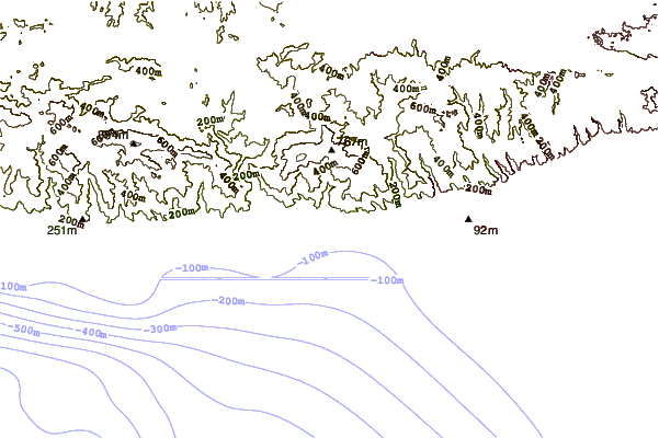
| Contours: | Roads & Rivers: | Select a
tide station / surf break / city |
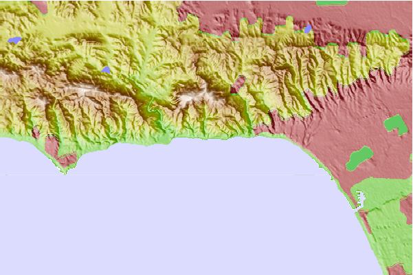
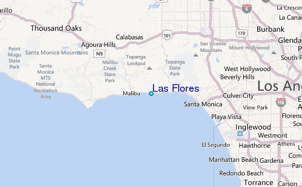
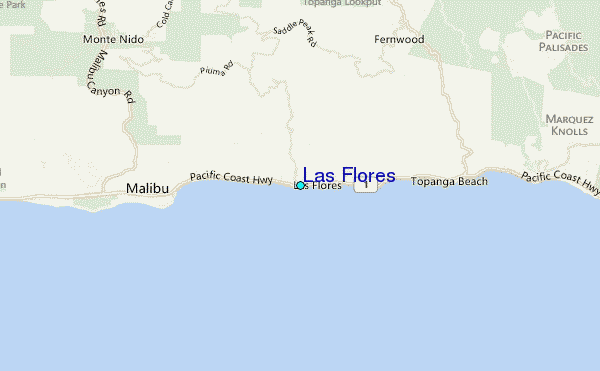
Use this relief map to navigate to tide stations, surf breaks and cities that are in the area of Las Flores.
Other Nearby Locations' tide tables and tide charts to Las Flores:
click location name for more details
 Surf breaks close to Las Flores:
|
||
|---|---|---|
| Closest surf break | Topanga Point | 2 mi |
| Second closest surf break | Chart House Rights | 3 mi |
| Third closest surf break | Malibu | 3 mi |
| Fourth closest surf break | Santa Monica Jetties | 5 mi |
| Fifth closest surf break | Sunset Boulevard | 5 mi |


 Nearest
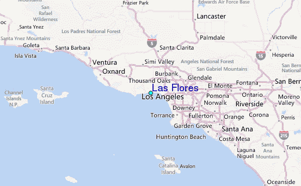